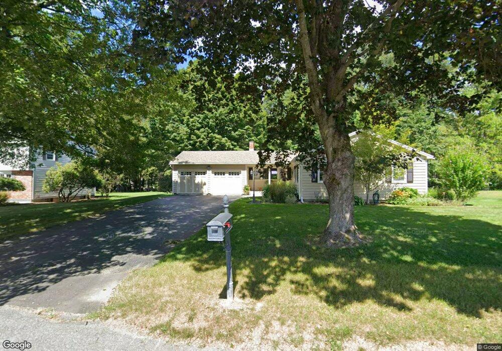
55 Kimberly Dr Dalton, MA 01226
Estimated Value: $316,000 - $522,000
3
Beds
2
Baths
1,600
Sq Ft
$263/Sq Ft
Est. Value
About This Home
This home is located at 55 Kimberly Dr, Dalton, MA 01226 and is currently estimated at $421,105, approximately $263 per square foot. 55 Kimberly Dr is a home located in Berkshire County with nearby schools including Wahconah Regional High School and St. Agnes Academy.
Ownership History
Date
Name
Owned For
Owner Type
Purchase Details
Closed on
Sep 23, 2003
Sold by
Apkin William R
Bought by
Fortini Paul A
Current Estimated Value
Home Financials for this Owner
Home Financials are based on the most recent Mortgage that was taken out on this home.
Original Mortgage
$164,000
Outstanding Balance
$76,446
Interest Rate
6.31%
Mortgage Type
Purchase Money Mortgage
Estimated Equity
$344,659
Purchase Details
Closed on
Sep 19, 2000
Sold by
Moreno Philip O and Moreno Marla J
Bought by
Apkin William R
Purchase Details
Closed on
Dec 17, 1996
Sold by
Pykora Anthony C and Pykora Heidi
Bought by
Moreno Phillip O and Moreno Marla J
Purchase Details
Closed on
Nov 8, 1991
Sold by
Irish James R and Irish Lisa A
Bought by
Sykora Anthony C and Sykora Heidi
Create a Home Valuation Report for This Property
The Home Valuation Report is an in-depth analysis detailing your home's value as well as a comparison with similar homes in the area
Home Values in the Area
Average Home Value in this Area
Purchase History
| Date | Buyer | Sale Price | Title Company |
|---|---|---|---|
| Fortini Paul A | $205,000 | -- | |
| Fortini Paul A | $205,000 | -- | |
| Apkin William R | $145,000 | -- | |
| Moreno Phillip O | $160,000 | -- | |
| Sykora Anthony C | $115,000 | -- |
Source: Public Records
Mortgage History
| Date | Status | Borrower | Loan Amount |
|---|---|---|---|
| Open | Sykora Anthony C | $164,000 | |
| Closed | Sykora Anthony C | $164,000 |
Source: Public Records
Tax History
| Year | Tax Paid | Tax Assessment Tax Assessment Total Assessment is a certain percentage of the fair market value that is determined by local assessors to be the total taxable value of land and additions on the property. | Land | Improvement |
|---|---|---|---|---|
| 2025 | $6,481 | $357,500 | $87,400 | $270,100 |
| 2024 | $6,221 | $341,800 | $80,100 | $261,700 |
| 2023 | $5,716 | $297,100 | $72,900 | $224,200 |
| 2022 | $5,299 | $255,500 | $72,900 | $182,600 |
| 2021 | $5,210 | $242,200 | $68,100 | $174,100 |
| 2020 | $4,746 | $233,900 | $68,100 | $165,800 |
| 2019 | $4,434 | $227,600 | $65,400 | $162,200 |
| 2018 | $2,675 | $221,400 | $65,400 | $156,000 |
| 2017 | $4,399 | $221,400 | $65,400 | $156,000 |
| 2016 | $4,346 | $221,400 | $65,400 | $156,000 |
| 2015 | $4,295 | $220,600 | $65,400 | $155,200 |
Source: Public Records
Map
Nearby Homes
- 127 Pinecrest Dr
- 0 Crane Ave
- 750 Main St
- 60 North St Unit 7
- 1 Pondview Dr Unit C3
- 18 Chestnut St
- 1990 East St
- 188 North St
- 66 Dalton Division Rd
- 32 Marcella Way
- 70 Lake St Unit B
- 20 Prospect St
- 1030 Main St
- 60 Franklin St
- 149 Kittredge Rd
- 40 Baldwin Ave
- 121 Kittredge Rd
- 1842 East St
- 1157 Main St
- 0 Crane Ave Suite 2 -- Unit 248430
- 65 Kimberly Dr
- 54 Kimberly Dr
- 33 Kimberly Dr
- 77 Kimberly Dr
- 66 Kimberly Dr
- 42 Kimberly Dr
- 78 Kimberly Dr
- 89 Kimberly Dr
- 128 Patricia Ave
- 21 Kimberly Dr
- 30 Kimberly Dr
- 138 Patricia Ave
- 81 Barton Hill Rd
- 93 Barton Hill Rd
- 118 Patricia Ave
- 90 Kimberly Dr
- 148 Patricia Ave
- 69 Barton Hill Rd
- 18 Kimberly Dr
- 103 Barton Hill Rd
Your Personal Tour Guide
Ask me questions while you tour the home.