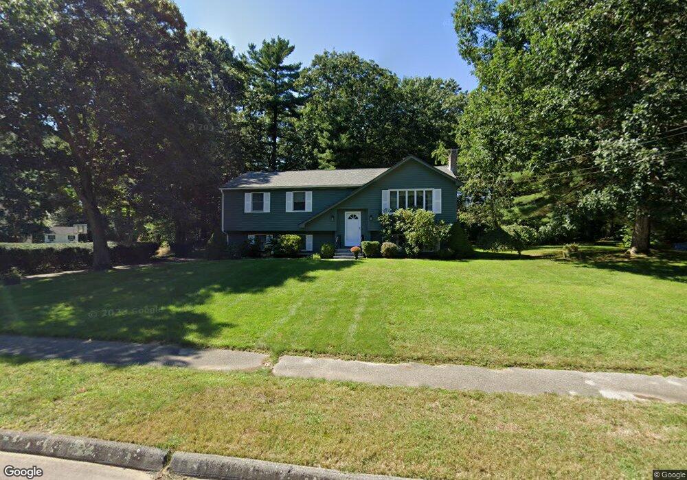
55 King James Way Wrentham, MA 02093
Estimated Value: $502,000 - $617,000
3
Beds
2
Baths
1,385
Sq Ft
$399/Sq Ft
Est. Value
About This Home
This home is located at 55 King James Way, Wrentham, MA 02093 and is currently estimated at $552,634, approximately $399 per square foot. 55 King James Way is a home located in Norfolk County with nearby schools including Delaney Elementary School, Charles E Roderick, and Foxborough Regional Charter School.
Ownership History
Date
Name
Owned For
Owner Type
Purchase Details
Closed on
Sep 16, 1976
Bought by
Crawford Ernest W and Crawford Christine M
Current Estimated Value
Create a Home Valuation Report for This Property
The Home Valuation Report is an in-depth analysis detailing your home's value as well as a comparison with similar homes in the area
Purchase History
| Date | Buyer | Sale Price | Title Company |
|---|---|---|---|
| Crawford Ernest W | $42,700 | -- |
Source: Public Records
Mortgage History
| Date | Status | Borrower | Loan Amount |
|---|---|---|---|
| Open | Crawford Ernest W | $215,000 |
Source: Public Records
Tax History
| Year | Tax Paid | Tax Assessment Tax Assessment Total Assessment is a certain percentage of the fair market value that is determined by local assessors to be the total taxable value of land and additions on the property. | Land | Improvement |
|---|---|---|---|---|
| 2025 | $6,358 | $548,600 | $289,700 | $258,900 |
| 2024 | $5,948 | $495,700 | $289,700 | $206,000 |
| 2023 | $5,674 | $449,600 | $263,400 | $186,200 |
| 2022 | $5,538 | $405,100 | $245,800 | $159,300 |
| 2021 | $4,702 | $334,200 | $214,600 | $119,600 |
| 2020 | $5,164 | $362,400 | $190,800 | $171,600 |
| 2019 | $4,965 | $351,600 | $190,800 | $160,800 |
| 2018 | $5,040 | $353,900 | $191,000 | $162,900 |
| 2017 | $4,748 | $333,200 | $187,300 | $145,900 |
| 2016 | $4,641 | $325,000 | $181,900 | $143,100 |
| 2015 | $4,522 | $301,900 | $174,800 | $127,100 |
| 2014 | $4,233 | $276,500 | $154,100 | $122,400 |
Source: Public Records
Map
Nearby Homes
- 15 Tilting Rock Rd
- 10 Nature View Dr
- 15 Nature View Dr
- 282 Thurston St
- 576 Dedham St
- 1 Weber Farm Rd Unit 1
- 4 Weber Farm Rd Unit 4
- 6 Weber Farm Rd Unit 6
- 11 Weber Farm Rd Unit 11
- 8 Weber Farm Rd Unit 8
- 25 Foxboro Rd
- 30 Weber Farm Rd Unit 30
- 483 Thurston St
- 135 Creek St Unit 2
- 131 Washington St Unit 50
- 9 Sharon Ave
- 11 Sharon Ave
- 3 Earle Stewart Ln
- 2 Earle Stewart Ln
- 12 Earle Stewart Ln
- 45 King James Way
- 65 King James Way
- 40 King James Way
- 35 King James Way
- 50 King James Way
- 30 King James Way
- 60 King James Way
- 40 Trafalgar Square
- 75 King James Way
- 20 King James Way
- 44 Woodland Rd
- 201 Janice Cir
- 70 King James Way
- 20 Trafalgar Square
- 85 King James Way
- 25 Alderbrook Ct
- 199 Janice Cir
- 207 Janice Cir
- 215 Janice Cir
- 80 King James Way
Your Personal Tour Guide
Ask me questions while you tour the home.