Estimated Value: $365,465 - $482,000
2
Beds
2
Baths
1,071
Sq Ft
$371/Sq Ft
Est. Value
About This Home
This home is located at 55 Littleton Rd Unit 25F, Ayer, MA 01432 and is currently estimated at $397,616, approximately $371 per square foot. 55 Littleton Rd Unit 25F is a home located in Middlesex County with nearby schools including Page Hilltop School, Lura A. White Elementary School, and Ayer Shirley Regional Middle School.
Ownership History
Date
Name
Owned For
Owner Type
Purchase Details
Closed on
May 25, 2010
Sold by
Mason Laura M and Millett Laura A
Bought by
Holly Michael
Current Estimated Value
Home Financials for this Owner
Home Financials are based on the most recent Mortgage that was taken out on this home.
Original Mortgage
$181,550
Outstanding Balance
$122,102
Interest Rate
5.12%
Mortgage Type
FHA
Estimated Equity
$275,514
Purchase Details
Closed on
Dec 10, 1993
Sold by
Molumco Dev Corp
Bought by
Loring June M
Home Financials for this Owner
Home Financials are based on the most recent Mortgage that was taken out on this home.
Original Mortgage
$15,000
Interest Rate
6.78%
Mortgage Type
Purchase Money Mortgage
Create a Home Valuation Report for This Property
The Home Valuation Report is an in-depth analysis detailing your home's value as well as a comparison with similar homes in the area
Home Values in the Area
Average Home Value in this Area
Purchase History
| Date | Buyer | Sale Price | Title Company |
|---|---|---|---|
| Holly Michael | $184,900 | -- | |
| Loring June M | $85,900 | -- |
Source: Public Records
Mortgage History
| Date | Status | Borrower | Loan Amount |
|---|---|---|---|
| Open | Holly Michael | $181,550 | |
| Previous Owner | Loring June M | $15,000 |
Source: Public Records
Tax History Compared to Growth
Tax History
| Year | Tax Paid | Tax Assessment Tax Assessment Total Assessment is a certain percentage of the fair market value that is determined by local assessors to be the total taxable value of land and additions on the property. | Land | Improvement |
|---|---|---|---|---|
| 2025 | $3,604 | $301,300 | $0 | $301,300 |
| 2024 | $3,506 | $286,200 | $0 | $286,200 |
| 2023 | $3,173 | $255,500 | $0 | $255,500 |
| 2022 | $3,289 | $245,100 | $0 | $245,100 |
| 2021 | $3,167 | $224,000 | $0 | $224,000 |
| 2020 | $2,978 | $211,200 | $0 | $211,200 |
| 2019 | $2,691 | $197,400 | $0 | $197,400 |
| 2018 | $2,586 | $179,200 | $0 | $179,200 |
| 2017 | $2,455 | $170,600 | $0 | $170,600 |
| 2016 | $2,429 | $167,200 | $0 | $167,200 |
| 2015 | $2,304 | $157,600 | $0 | $157,600 |
| 2014 | $2,219 | $157,600 | $0 | $157,600 |
Source: Public Records
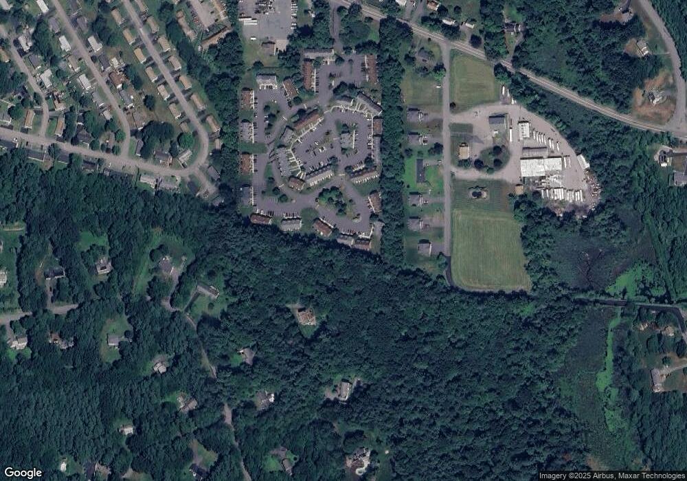
Map
Nearby Homes
- 61 Willard St
- 82 Littleton Rd
- 24 Harvard Rd Unit C
- 75 Sandy Pond Rd Unit 44
- 7 Groton Harvard Rd
- 78 Shaker Rd
- 23 Calvin St
- 63 E Main St
- 6 Mountain View Ave
- 45 S Shaker Rd
- 0 Ayer & Old Mill Rd
- 41 E Main St
- 18A S Shaker Rd
- 21 High St
- 17 Grove St
- 38 Norwood Ave
- 8 High St
- 17 Chestnut Ln
- 9 Nashua St
- 239 Ayer Rd Unit 16
- 55 Littleton Rd Unit 29F
- 55 Littleton Rd Unit 29E
- 55 Littleton Rd Unit 29D
- 55 Littleton Rd Unit 29C
- 55 Littleton Rd Unit 29B
- 55 Littleton Rd Unit 29A
- 55 Littleton Rd Unit 28C
- 55 Littleton Rd Unit 28B
- 55 Littleton Rd Unit 28A
- 55 Littleton Rd Unit 27F
- 55 Littleton Rd Unit 27E
- 55 Littleton Rd Unit 27D
- 55 Littleton Rd Unit 27C
- 55 Littleton Rd Unit 27B
- 55 Littleton Rd Unit 27A
- 55 Littleton Rd Unit 26C
- 55 Littleton Rd Unit 26B
- 55 Littleton Rd Unit 26A
- 55 Littleton Rd Unit 25E
- 55 Littleton Rd Unit 25D