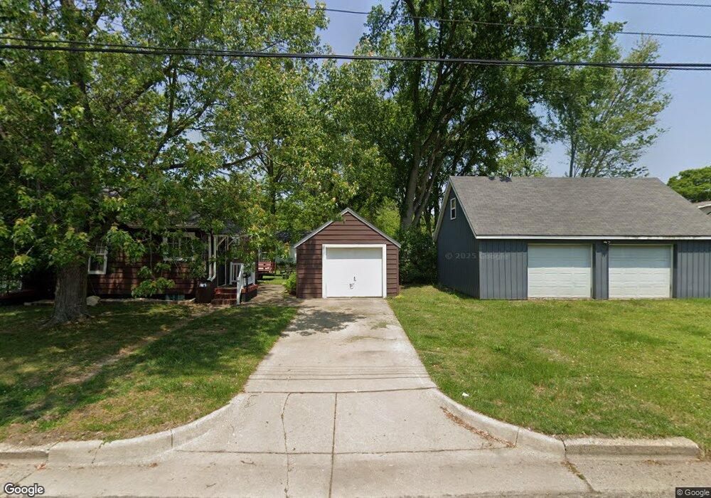
55 Logan St Battle Creek, MI 49015
Central Battle Creek NeighborhoodEstimated Value: $59,000 - $104,150
2
Beds
1
Bath
673
Sq Ft
$128/Sq Ft
Est. Value
About This Home
This home is located at 55 Logan St, Battle Creek, MI 49015 and is currently estimated at $86,038, approximately $127 per square foot. 55 Logan St is a home located in Calhoun County with nearby schools including Ann J. Kellogg School, Springfield Middle School, and Battle Creek Central High School.
Ownership History
Date
Name
Owned For
Owner Type
Purchase Details
Closed on
Jan 10, 2020
Sold by
Mary Jane Wagner Revocable Trust
Bought by
Stokes Kevin W
Current Estimated Value
Home Financials for this Owner
Home Financials are based on the most recent Mortgage that was taken out on this home.
Original Mortgage
$35,805
Outstanding Balance
$31,635
Interest Rate
3.6%
Mortgage Type
VA
Estimated Equity
$54,403
Purchase Details
Closed on
Jan 26, 2018
Sold by
Wagner Mary Jane
Bought by
Wagner Mary Jane and The Mary Jane Wagner Revocable
Create a Home Valuation Report for This Property
The Home Valuation Report is an in-depth analysis detailing your home's value as well as a comparison with similar homes in the area
Home Values in the Area
Average Home Value in this Area
Purchase History
| Date | Buyer | Sale Price | Title Company |
|---|---|---|---|
| Stokes Kevin W | $35,000 | None Available | |
| Wagner Mary Jane | -- | None Available |
Source: Public Records
Mortgage History
| Date | Status | Borrower | Loan Amount |
|---|---|---|---|
| Open | Stokes Kevin W | $35,805 |
Source: Public Records
Tax History Compared to Growth
Tax History
| Year | Tax Paid | Tax Assessment Tax Assessment Total Assessment is a certain percentage of the fair market value that is determined by local assessors to be the total taxable value of land and additions on the property. | Land | Improvement |
|---|---|---|---|---|
| 2025 | -- | $30,400 | $0 | $0 |
| 2024 | $744 | $25,083 | $0 | $0 |
| 2023 | $850 | $23,281 | $0 | $0 |
| 2022 | $672 | $18,073 | $0 | $0 |
| 2021 | $802 | $17,162 | $0 | $0 |
| 2020 | $529 | $14,344 | $0 | $0 |
| 2019 | $527 | $15,264 | $0 | $0 |
| 2018 | $527 | $13,517 | $1,078 | $12,439 |
| 2017 | $511 | $11,143 | $0 | $0 |
| 2016 | $510 | $11,551 | $0 | $0 |
| 2015 | $499 | $11,519 | $5,404 | $6,115 |
| 2014 | $499 | $10,838 | $5,404 | $5,434 |
Source: Public Records
Map
Nearby Homes
- 17 Tennyson Ave
- 0 Riverside Pkwy Unit 25036355
- 3 Riverside Pkwy
- 1 Grand Blvd
- 57 Boulder St
- 41 Randolph St
- 35 Eldred St
- 66 Cleveland St
- 32 Territorial Rd E
- 71 Burnham St W
- 15 Marine Dr
- 296 Meachem Ave
- 96 Battle Creek Ave
- 77 Leitch Dr
- 51 Pauline Ave
- 171 Goguac St W
- 127 W Territorial Rd
- 100 Eldred St
- 137 Fairfield Ave
- 178 Webber St