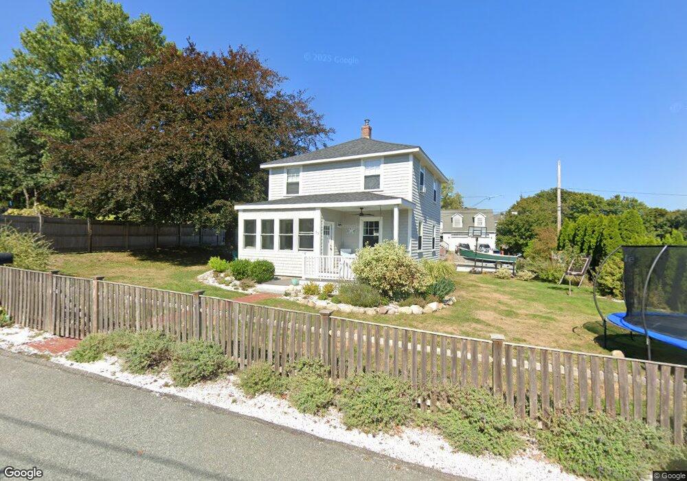
55 Marion Rd Unit sf Scituate, MA 02066
Estimated Value: $768,331 - $854,000
3
Beds
1
Bath
1,352
Sq Ft
$605/Sq Ft
Est. Value
About This Home
This home is located at 55 Marion Rd Unit sf, Scituate, MA 02066 and is currently estimated at $817,833, approximately $604 per square foot. 55 Marion Rd Unit sf is a home located in Plymouth County with nearby schools including Wampatuck Elementary School, Lester J. Gates Middle School, and Scituate High School.
Ownership History
Date
Name
Owned For
Owner Type
Purchase Details
Closed on
Apr 23, 2012
Sold by
Kenney Richard L
Bought by
Ray Robert and Ray Rebecca
Current Estimated Value
Home Financials for this Owner
Home Financials are based on the most recent Mortgage that was taken out on this home.
Original Mortgage
$253,650
Outstanding Balance
$175,941
Interest Rate
4%
Mortgage Type
New Conventional
Estimated Equity
$641,892
Purchase Details
Closed on
Oct 14, 2003
Sold by
Kenney Elaine C
Bought by
Kenney Elaine C and Kenney Richard L
Purchase Details
Closed on
Jun 19, 1992
Sold by
Peet Nancy J C
Bought by
Kenney Elaine C and Kenney Richard L
Home Financials for this Owner
Home Financials are based on the most recent Mortgage that was taken out on this home.
Original Mortgage
$81,000
Interest Rate
8.67%
Mortgage Type
Purchase Money Mortgage
Create a Home Valuation Report for This Property
The Home Valuation Report is an in-depth analysis detailing your home's value as well as a comparison with similar homes in the area
Home Values in the Area
Average Home Value in this Area
Purchase History
| Date | Buyer | Sale Price | Title Company |
|---|---|---|---|
| Ray Robert | $267,000 | -- | |
| Kenney Elaine C | -- | -- | |
| Kenney Elaine C | $90,000 | -- |
Source: Public Records
Mortgage History
| Date | Status | Borrower | Loan Amount |
|---|---|---|---|
| Open | Ray Robert | $253,650 | |
| Previous Owner | Kenney Elaine C | $10,000 | |
| Previous Owner | Kenney Elaine C | $81,000 |
Source: Public Records
Tax History Compared to Growth
Tax History
| Year | Tax Paid | Tax Assessment Tax Assessment Total Assessment is a certain percentage of the fair market value that is determined by local assessors to be the total taxable value of land and additions on the property. | Land | Improvement |
|---|---|---|---|---|
| 2025 | $6,476 | $648,200 | $397,400 | $250,800 |
| 2024 | $6,292 | $607,300 | $361,300 | $246,000 |
| 2023 | $5,755 | $547,500 | $328,500 | $219,000 |
| 2022 | $5,755 | $456,000 | $275,300 | $180,700 |
| 2021 | $4,687 | $351,600 | $262,200 | $89,400 |
| 2020 | $4,614 | $341,800 | $252,100 | $89,700 |
| 2019 | $4,617 | $336,000 | $247,100 | $88,900 |
| 2018 | $4,797 | $343,900 | $250,300 | $93,600 |
| 2017 | $4,699 | $333,500 | $239,900 | $93,600 |
| 2016 | $4,371 | $309,100 | $219,100 | $90,000 |
| 2015 | $3,912 | $298,600 | $208,600 | $90,000 |
Source: Public Records
Map
Nearby Homes
- 23 Lois Ann Ct Unit 23
- 50 Oceanside Dr
- 105 Turner Rd
- 12 Richfield Rd
- 148 Tilden Rd
- 209 Hatherly Rd
- 32 Barker Rd Unit 3
- 30 Irving Rd
- 74 Tilden Rd
- 355 Tilden Rd
- 7 Borden Rd
- 55 Seaside Rd
- 22 Kings Way
- 378 Tilden Rd
- 18 James Way
- 2 Windward Ln
- 76 A Brook St
- 76 A Brook St Unit 1
- 91 Front St Unit 106
- 23 Sunset Rd