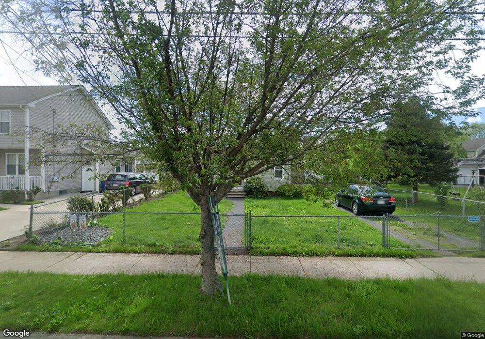
55 Merrick St West Springfield, MA 01089
Estimated Value: $199,000 - $277,000
2
Beds
1
Bath
675
Sq Ft
$357/Sq Ft
Est. Value
About This Home
This home is located at 55 Merrick St, West Springfield, MA 01089 and is currently estimated at $241,207, approximately $357 per square foot. 55 Merrick St is a home located in Hampden County with nearby schools including West Springfield High School, Hampden Charter School of Science West, and Libertas Academy Charter School.
Ownership History
Date
Name
Owned For
Owner Type
Purchase Details
Closed on
Mar 26, 2015
Sold by
Kelley Katherine S
Bought by
Kelley Katherine S and Kelley Zachary B
Current Estimated Value
Purchase Details
Closed on
Dec 15, 2006
Sold by
Ricard Catherine M
Bought by
Kelley Katherine S
Home Financials for this Owner
Home Financials are based on the most recent Mortgage that was taken out on this home.
Original Mortgage
$135,000
Interest Rate
6.31%
Mortgage Type
Purchase Money Mortgage
Create a Home Valuation Report for This Property
The Home Valuation Report is an in-depth analysis detailing your home's value as well as a comparison with similar homes in the area
Home Values in the Area
Average Home Value in this Area
Purchase History
| Date | Buyer | Sale Price | Title Company |
|---|---|---|---|
| Kelley Katherine S | -- | -- | |
| Kelley Katherine S | $135,000 | -- |
Source: Public Records
Mortgage History
| Date | Status | Borrower | Loan Amount |
|---|---|---|---|
| Previous Owner | Kelley Katherine S | $135,000 |
Source: Public Records
Tax History
| Year | Tax Paid | Tax Assessment Tax Assessment Total Assessment is a certain percentage of the fair market value that is determined by local assessors to be the total taxable value of land and additions on the property. | Land | Improvement |
|---|---|---|---|---|
| 2025 | $2,540 | $170,800 | $94,400 | $76,400 |
| 2024 | $2,463 | $166,300 | $94,400 | $71,900 |
| 2023 | $2,205 | $141,900 | $84,900 | $57,000 |
| 2022 | $2,005 | $127,200 | $77,000 | $50,200 |
| 2021 | $1,906 | $112,800 | $70,000 | $42,800 |
| 2020 | $1,916 | $112,800 | $70,000 | $42,800 |
| 2019 | $1,913 | $112,800 | $70,000 | $42,800 |
| 2018 | $1,923 | $112,800 | $70,000 | $42,800 |
| 2017 | $1,923 | $112,800 | $70,000 | $42,800 |
| 2016 | $1,257 | $74,000 | $67,300 | $6,700 |
| 2015 | $1,218 | $71,700 | $66,000 | $5,700 |
| 2014 | $294 | $71,700 | $66,000 | $5,700 |
Source: Public Records
Map
Nearby Homes
- 31 Russell St
- 20 Sprague St
- 37 Day St
- 20 Cottage St
- 29 Lowell Ave
- 63 Worcester St
- 146 Union St
- 188 Windsor St
- 92 Norman St
- 122 Norman St
- 63 Allston Ave
- 31 Washburn St
- 62 Washburn St
- 140 Chestnut St Unit 706
- 140 Chestnut St Unit 702
- 140 Chestnut St Unit 204
- 140 Chestnut St Unit 819
- 140 Chestnut St Unit 607
- 140 Chestnut St Unit 619
- 140 Chestnut St Unit 816
- 65 Merrick St
- 45 Merrick St
- 45 Merrick St Unit B
- 45 Merrick St Unit A
- 58 Russell St
- 62 Russell St
- 54 Russell St
- 68 Russell St
- 71 Merrick St
- 52 Merrick St
- 39 Merrick St Unit 1R
- 39 Merrick St Unit B
- 39 Merrick St Unit A
- 39 Merrick St Unit 41 A
- 39 Merrick St Unit 39A
- 39 Merrick St
- 74 Russell St
- 68 Merrick St
- 44 Russell St
- 41 Merrick St Unit 1L
Your Personal Tour Guide
Ask me questions while you tour the home.