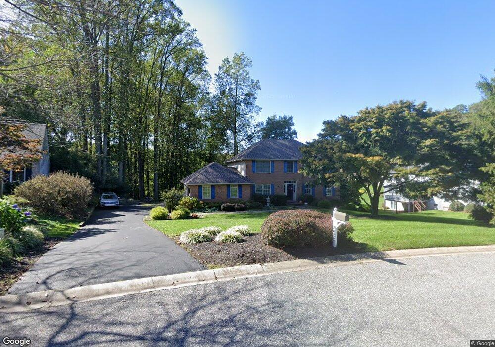
55 Michaelangelo Ct Hockessin, DE 19707
Estimated Value: $671,364 - $742,000
4
Beds
3
Baths
3,125
Sq Ft
$225/Sq Ft
Est. Value
About This Home
This home is located at 55 Michaelangelo Ct, Hockessin, DE 19707 and is currently estimated at $704,091, approximately $225 per square foot. 55 Michaelangelo Ct is a home located in New Castle County with nearby schools including Dupont (H.B.) Middle School, Thomas McKean High School, and Wilmington Christian School.
Ownership History
Date
Name
Owned For
Owner Type
Purchase Details
Closed on
Jun 16, 2010
Sold by
Dungey Ronald A and Dungey Nicole M
Bought by
Blanchard Troy A and Blanchard Deanna M
Current Estimated Value
Home Financials for this Owner
Home Financials are based on the most recent Mortgage that was taken out on this home.
Original Mortgage
$325,500
Outstanding Balance
$218,258
Interest Rate
4.98%
Mortgage Type
New Conventional
Estimated Equity
$485,833
Create a Home Valuation Report for This Property
The Home Valuation Report is an in-depth analysis detailing your home's value as well as a comparison with similar homes in the area
Home Values in the Area
Average Home Value in this Area
Purchase History
| Date | Buyer | Sale Price | Title Company |
|---|---|---|---|
| Blanchard Troy A | $435,000 | None Available |
Source: Public Records
Mortgage History
| Date | Status | Borrower | Loan Amount |
|---|---|---|---|
| Open | Blanchard Troy A | $325,500 |
Source: Public Records
Tax History
| Year | Tax Paid | Tax Assessment Tax Assessment Total Assessment is a certain percentage of the fair market value that is determined by local assessors to be the total taxable value of land and additions on the property. | Land | Improvement |
|---|---|---|---|---|
| 2024 | $5,636 | $147,100 | $24,300 | $122,800 |
| 2023 | $4,998 | $147,100 | $24,300 | $122,800 |
| 2022 | $5,025 | $147,100 | $24,300 | $122,800 |
| 2021 | $5,020 | $147,100 | $24,300 | $122,800 |
| 2020 | $5,022 | $147,100 | $24,300 | $122,800 |
| 2019 | $5,323 | $147,100 | $24,300 | $122,800 |
| 2018 | $4,934 | $147,100 | $24,300 | $122,800 |
| 2017 | $4,876 | $147,100 | $24,300 | $122,800 |
| 2016 | $4,638 | $147,100 | $24,300 | $122,800 |
| 2015 | $4,358 | $147,100 | $24,300 | $122,800 |
| 2014 | $4,049 | $147,100 | $24,300 | $122,800 |
Source: Public Records
Map
Nearby Homes
- 10 Equestrian Cir
- 12 Wyndom Cir
- 1777 Brackenville Rd
- 1848 Brackenville Rd
- 429 Valley Brook Dr
- 220 Hockessin Cir
- 213 Valley Ln
- 9 Stone Barn Dr
- 141 Belmont Dr
- 1611 Brackenville Rd
- 253 Peoples Way
- 500 Defoe Rd
- 862 Stockbridge Dr
- 91 Westhampton Dr
- 614 Loveville Rd Unit C05H
- 614 Loveville Rd Unit D2G
- 614 Loveville Rd Unit C04H
- 614 Loveville Rd Unit D1D
- 614 Loveville Rd Unit D5F
- 308 Detjen Dr
- 57 Raphael Rd
- 53 Michaelangelo Ct
- 59 Raphael Rd
- 51 Michaelangelo Ct
- 61 Raphael Rd
- 37 Michaelangelo Ct
- 35 Raphael Rd
- 58 Raphael Rd
- 60 Raphael Rd
- 56 Raphael Rd
- 63 Raphael Rd
- 49 Michaelangelo Ct
- 62 Raphael Rd
- 3979 Mill Creek Rd
- 40 Raphael Rd
- 64 Raphael Rd
- 66 Raphael Rd
- 41 Michaelangelo Ct
- 47 Michaelangelo Ct
- 38 Raphael Rd
Your Personal Tour Guide
Ask me questions while you tour the home.