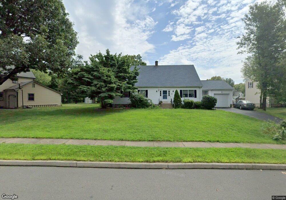
55 Miner Brook Dr Middletown, CT 06457
Westfield NeighborhoodEstimated Value: $506,000 - $562,000
2
Beds
3
Baths
2,835
Sq Ft
$188/Sq Ft
Est. Value
About This Home
This home is located at 55 Miner Brook Dr, Middletown, CT 06457 and is currently estimated at $532,752, approximately $187 per square foot. 55 Miner Brook Dr is a home located in Middlesex County with nearby schools including Moody School.
Ownership History
Date
Name
Owned For
Owner Type
Purchase Details
Closed on
Nov 21, 2007
Sold by
Lois A Loewenthal T and Marino Vincent M
Bought by
Tewksbury Michael and Tewksbury Jennifer M
Current Estimated Value
Home Financials for this Owner
Home Financials are based on the most recent Mortgage that was taken out on this home.
Original Mortgage
$165,000
Interest Rate
6.42%
Create a Home Valuation Report for This Property
The Home Valuation Report is an in-depth analysis detailing your home's value as well as a comparison with similar homes in the area
Home Values in the Area
Average Home Value in this Area
Purchase History
| Date | Buyer | Sale Price | Title Company |
|---|---|---|---|
| Tewksbury Michael | $315,000 | -- |
Source: Public Records
Mortgage History
| Date | Status | Borrower | Loan Amount |
|---|---|---|---|
| Open | Tewksbury Michael | $169,500 | |
| Closed | Tewksbury Michael | $165,000 |
Source: Public Records
Tax History Compared to Growth
Tax History
| Year | Tax Paid | Tax Assessment Tax Assessment Total Assessment is a certain percentage of the fair market value that is determined by local assessors to be the total taxable value of land and additions on the property. | Land | Improvement |
|---|---|---|---|---|
| 2025 | $10,186 | $302,360 | $73,140 | $229,220 |
| 2024 | $9,657 | $302,360 | $73,140 | $229,220 |
| 2023 | $9,084 | $302,360 | $73,140 | $229,220 |
| 2022 | $8,312 | $221,540 | $48,760 | $172,780 |
| 2021 | $8,291 | $221,540 | $48,760 | $172,780 |
| 2020 | $8,304 | $221,540 | $48,760 | $172,780 |
| 2019 | $8,348 | $221,540 | $48,760 | $172,780 |
| 2018 | $8,052 | $221,540 | $48,760 | $172,780 |
| 2017 | $7,337 | $206,980 | $52,160 | $154,820 |
| 2016 | $7,195 | $206,980 | $52,160 | $154,820 |
| 2015 | $7,041 | $206,980 | $52,160 | $154,820 |
| 2014 | $7,043 | $206,980 | $52,160 | $154,820 |
Source: Public Records
Map
Nearby Homes
- 7 W Meadow Ln Unit 5
- 59 Fieldbrook Rd
- 67 Braeburn Ln
- 17 Flynn Ln
- 130 Carriage Crossing Ln Unit 130
- 48 Carriage Crossing Ln Unit 8108
- 7 Inverness Square
- 59 Inverness Ln
- 886 East St
- 233 Oak Ridge Dr
- 123 Webster Ln
- 128 Webster Ln
- 145 Webster Ln Unit 2-41
- 137 Webster Ln Unit 2-42
- 134 Webster Ln Unit 2-15
- 14 Rising Trail Dr
- 52 Rising Trail Dr
- 36 Rising Trail Dr Unit 36
- 100 Rising Trail Dr Unit 100
- 162 Rising Trail Dr
- 45 Miner Brook Dr
- 65 Miner Brook Dr
- 75 Miner Brook Dr
- 60 Miner Brook Dr
- 70 Miner Brook Dr
- 50 Miner Brook Dr
- 80 Miner Brook Dr
- 124 Miner St
- 60 Miner St
- 119 Glenwood Terrace
- 70 Miner St
- 109 Glenwood Terrace
- 38 Smith St
- 129 Glenwood Terrace
- 99 Glenwood Terrace
- 48 Smith St
- 139 Glenwood Terrace
- 89 Glenwood Terrace
- 130 Miner St
- 58 Smith St