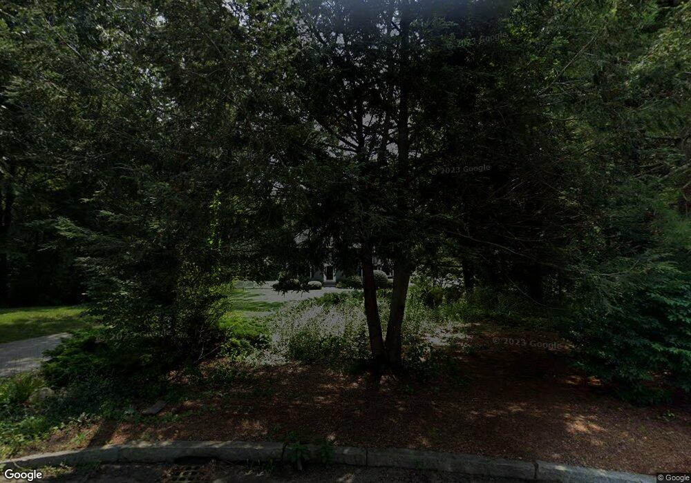
55 Miscoe Brook Dr Wrentham, MA 02093
West Wrentham NeighborhoodEstimated Value: $938,602 - $1,157,000
6
Beds
4
Baths
3,069
Sq Ft
$343/Sq Ft
Est. Value
About This Home
This home is located at 55 Miscoe Brook Dr, Wrentham, MA 02093 and is currently estimated at $1,053,151, approximately $343 per square foot. 55 Miscoe Brook Dr is a home located in Norfolk County with nearby schools including Delaney Elementary School, Charles E Roderick, and Benjamin Franklin Classical Charter Public School.
Ownership History
Date
Name
Owned For
Owner Type
Purchase Details
Closed on
Aug 23, 2024
Sold by
Cacciola Joseph C and Cacciola Elizabeth H
Bought by
Elizabeth H Cacciola Ret and Cacciola
Current Estimated Value
Purchase Details
Closed on
Aug 27, 1997
Sold by
Oleksiak Arthur J and Oleksiak Janice M
Bought by
Cacciola Joseph C and Cacciola Elizabeth H
Home Financials for this Owner
Home Financials are based on the most recent Mortgage that was taken out on this home.
Original Mortgage
$244,800
Interest Rate
7.41%
Mortgage Type
Purchase Money Mortgage
Purchase Details
Closed on
Aug 12, 1988
Sold by
C J Mclaughlin Inc
Bought by
Oleksiak Arthur J
Home Financials for this Owner
Home Financials are based on the most recent Mortgage that was taken out on this home.
Original Mortgage
$168,700
Interest Rate
10.34%
Mortgage Type
Purchase Money Mortgage
Create a Home Valuation Report for This Property
The Home Valuation Report is an in-depth analysis detailing your home's value as well as a comparison with similar homes in the area
Home Values in the Area
Average Home Value in this Area
Purchase History
| Date | Buyer | Sale Price | Title Company |
|---|---|---|---|
| Elizabeth H Cacciola Ret | -- | None Available | |
| Elizabeth H Cacciola Ret | -- | None Available | |
| Cacciola Joseph C | $306,000 | -- | |
| Cacciola Joseph C | $306,000 | -- | |
| Oleksiak Arthur J | $298,000 | -- |
Source: Public Records
Mortgage History
| Date | Status | Borrower | Loan Amount |
|---|---|---|---|
| Previous Owner | Oleksiak Arthur J | $244,800 | |
| Previous Owner | Oleksiak Arthur J | $168,700 |
Source: Public Records
Tax History Compared to Growth
Tax History
| Year | Tax Paid | Tax Assessment Tax Assessment Total Assessment is a certain percentage of the fair market value that is determined by local assessors to be the total taxable value of land and additions on the property. | Land | Improvement |
|---|---|---|---|---|
| 2025 | $9,671 | $834,400 | $332,400 | $502,000 |
| 2024 | $9,304 | $775,300 | $332,400 | $442,900 |
| 2023 | $9,330 | $739,300 | $302,400 | $436,900 |
| 2022 | $8,927 | $653,000 | $282,500 | $370,500 |
| 2021 | $8,284 | $588,800 | $246,700 | $342,100 |
| 2020 | $8,276 | $580,800 | $219,700 | $361,100 |
| 2019 | $7,978 | $565,000 | $219,700 | $345,300 |
| 2018 | $7,701 | $540,800 | $197,500 | $343,300 |
| 2017 | $7,494 | $525,900 | $193,700 | $332,200 |
| 2016 | $7,396 | $517,900 | $188,100 | $329,800 |
| 2015 | $7,364 | $491,600 | $180,900 | $310,700 |
| 2014 | $7,465 | $487,600 | $173,900 | $313,700 |
Source: Public Records
Map
Nearby Homes
- 60 Grant Ave
- 2095 West St
- 236 Williams St
- 50 Heather Ln
- 25 Nature View Dr
- 180 Pine Swamp Rd
- 56 Pine Swamp Rd
- 39 Sumner Brown Rd
- 20 Nature View Dr
- 9 Pebble Cir Unit 9
- 65 Palmetto Dr Unit 65
- 851 Washington St
- 219 Dawn Blvd
- 21 Palmetto Dr Unit 21
- 24 Palmetto Dr Unit 24
- 17 Stanford Rd
- 10 Stanford Rd
- 245 W Wrentham Rd
- 300 Tower Hill Rd
- 4022 Diamond Hill Rd
- 60 Miscoe Brook Dr
- 50 Miscoe Brook Dr
- 90 Autumn Rd
- 45 Miscoe Brook Dr
- 80 Autumn Rd
- 40 Miscoe Brook Dr
- 100 Autumn Rd
- 125 Spring St
- 40 Macdougald Dr
- 70 Autumn Rd
- 110 Autumn Rd
- 35 Miscoe Brook Dr
- 30 Miscoe Brook Dr
- 30 Macdougald Dr
- 120 Comstock Dr
- 120 Autumn Rd
- 45 Macdougald Dr
- 20 Miscoe Brook Dr
- 60 Autumn Rd
- 10 Miscoe Brook Dr