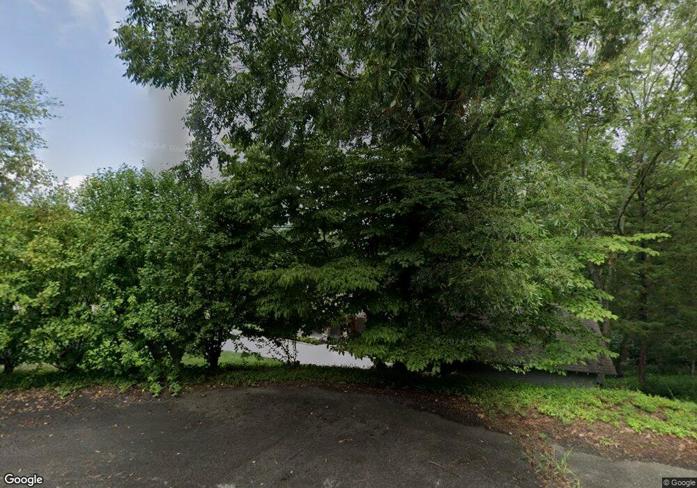
55 Narrows Cir Winchester, TN 37398
Estimated Value: $648,000 - $1,216,000
--
Bed
3
Baths
2,818
Sq Ft
$337/Sq Ft
Est. Value
About This Home
This home is located at 55 Narrows Cir, Winchester, TN 37398 and is currently estimated at $948,637, approximately $336 per square foot. 55 Narrows Cir is a home located in Franklin County with nearby schools including South Middle School and Franklin County High School.
Ownership History
Date
Name
Owned For
Owner Type
Purchase Details
Closed on
Dec 16, 1997
Bought by
Heises David J and Heises Elizabeth
Current Estimated Value
Home Financials for this Owner
Home Financials are based on the most recent Mortgage that was taken out on this home.
Original Mortgage
$45,600
Interest Rate
7.23%
Purchase Details
Closed on
Sep 5, 1986
Purchase Details
Closed on
Sep 28, 1984
Purchase Details
Closed on
Jan 4, 1900
Create a Home Valuation Report for This Property
The Home Valuation Report is an in-depth analysis detailing your home's value as well as a comparison with similar homes in the area
Home Values in the Area
Average Home Value in this Area
Purchase History
| Date | Buyer | Sale Price | Title Company |
|---|---|---|---|
| Heises David J | $57,000 | -- | |
| -- | $13,200 | -- | |
| -- | -- | -- | |
| -- | -- | -- |
Source: Public Records
Mortgage History
| Date | Status | Borrower | Loan Amount |
|---|---|---|---|
| Closed | Not Available | $45,600 |
Source: Public Records
Tax History Compared to Growth
Tax History
| Year | Tax Paid | Tax Assessment Tax Assessment Total Assessment is a certain percentage of the fair market value that is determined by local assessors to be the total taxable value of land and additions on the property. | Land | Improvement |
|---|---|---|---|---|
| 2024 | $3,634 | $182,150 | $87,500 | $94,650 |
| 2023 | $3,634 | $182,150 | $87,500 | $94,650 |
| 2022 | $3,416 | $182,150 | $87,500 | $94,650 |
| 2021 | $3,961 | $182,150 | $87,500 | $94,650 |
| 2020 | $3,961 | $137,600 | $76,500 | $61,100 |
| 2019 | $3,961 | $137,600 | $76,500 | $61,100 |
| 2018 | $3,679 | $137,600 | $76,500 | $61,100 |
| 2017 | $3,679 | $137,600 | $76,500 | $61,100 |
| 2016 | $3,470 | $129,775 | $76,500 | $53,275 |
| 2015 | $3,470 | $129,775 | $76,500 | $53,275 |
| 2014 | $3,470 | $129,779 | $0 | $0 |
Source: Public Records
Map
Nearby Homes
- 512 Cline Ridge Rd
- 0 Walnut Dr
- 0 Cline Ridge Rd Unit RTC2969476
- 48 White Oak Ln
- 802 Evans Rd
- 98 Whippoorwill Cove Rd
- 8465 Lynchburg Rd
- 901 Wildwood Trace
- 236 Tims Ford Dr
- 4516 Mansford Rd
- 33 Evans Rd
- 21 Huntington Dr N
- 0 Huntington Dr N Unit RTC2988373
- 1718 Galloway Ln
- 2990 Vanzant Bend Rd
- 2T Barnes Ln
- 937 Neal Rd
- 1549 Mansford Rd
- 0 Union Rd
- 500 Golf Shores Dr
- 1640 Cline Ridge Rd
- 1626 Cline Ridge Rd
- 72 Narrows Cir
- 1664 Cline Ridge Rd
- 1682 Cline Ridge Rd
- 1700 Cline Ridge Rd
- 79 Ridgefield Dr
- 749 Fanning Bend Dr
- 771 Fanning Bend Dr
- 765 Fanning Bend Dr
- 119 Ridgefield Dr
- 103 Ridgefield Dr
- 0 Ridgefield Dr Lot 78
- 189 Pleasant Dr
- 0 Ridgefield Dr Unit 78
- 24 Ridgefield Dr
- 78 Ridgefield Dr
- 55 Pleasant Dr
- 205 Pleasant Dr
- 163 Pleasant Dr
