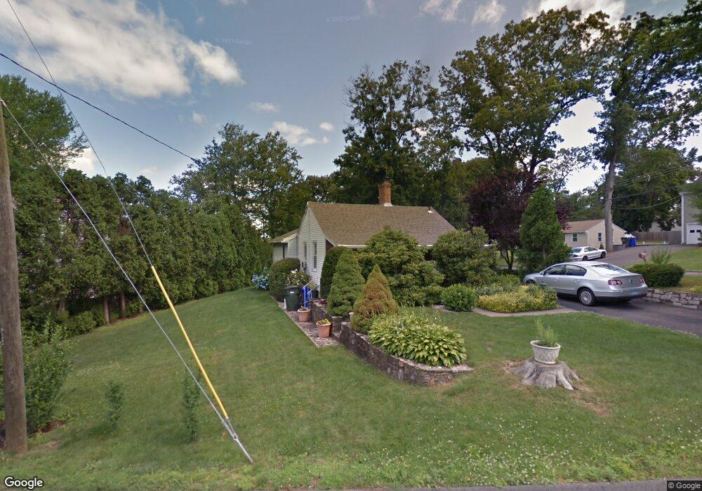
55 Pawtucket Ave Wethersfield, CT 06109
Estimated Value: $287,000 - $322,077
2
Beds
3
Baths
1,080
Sq Ft
$287/Sq Ft
Est. Value
About This Home
This home is located at 55 Pawtucket Ave, Wethersfield, CT 06109 and is currently estimated at $309,769, approximately $286 per square foot. 55 Pawtucket Ave is a home located in Hartford County with nearby schools including Samuel B. Webb Elementary School, Silas Deane Middle School, and Wethersfield High School.
Ownership History
Date
Name
Owned For
Owner Type
Purchase Details
Closed on
Jul 14, 2025
Sold by
Prata Paola M
Bought by
Agliano Myself and Agliano Stefania M
Current Estimated Value
Purchase Details
Closed on
Oct 13, 2000
Sold by
Vallera Guiseppe and Vallera Claire V
Bought by
Prata Paola M
Purchase Details
Closed on
Aug 22, 1989
Sold by
Reddin Richard Est
Bought by
Vallera Guiseppe
Create a Home Valuation Report for This Property
The Home Valuation Report is an in-depth analysis detailing your home's value as well as a comparison with similar homes in the area
Home Values in the Area
Average Home Value in this Area
Purchase History
| Date | Buyer | Sale Price | Title Company |
|---|---|---|---|
| Agliano Myself | -- | -- | |
| Prata Paola M | $106,000 | -- | |
| Prata Paola M | $106,000 | -- | |
| Vallera Guiseppe | $85,000 | -- |
Source: Public Records
Mortgage History
| Date | Status | Borrower | Loan Amount |
|---|---|---|---|
| Previous Owner | Vallera Guiseppe | $25,000 | |
| Previous Owner | Vallera Guiseppe | $108,900 | |
| Previous Owner | Vallera Guiseppe | $80,100 |
Source: Public Records
Tax History
| Year | Tax Paid | Tax Assessment Tax Assessment Total Assessment is a certain percentage of the fair market value that is determined by local assessors to be the total taxable value of land and additions on the property. | Land | Improvement |
|---|---|---|---|---|
| 2025 | $7,744 | $187,860 | $95,060 | $92,800 |
| 2024 | $5,561 | $128,670 | $74,200 | $54,470 |
| 2023 | $5,376 | $128,670 | $74,200 | $54,470 |
| 2022 | $5,286 | $128,670 | $74,200 | $54,470 |
| 2021 | $5,233 | $128,670 | $74,200 | $54,470 |
| 2020 | $5,236 | $128,670 | $74,200 | $54,470 |
| 2019 | $5,242 | $128,670 | $74,200 | $54,470 |
| 2018 | $5,371 | $131,700 | $69,000 | $62,700 |
| 2017 | $5,238 | $131,700 | $69,000 | $62,700 |
| 2016 | $5,076 | $131,700 | $69,000 | $62,700 |
| 2015 | $5,030 | $131,700 | $69,000 | $62,700 |
| 2014 | $4,839 | $131,700 | $69,000 | $62,700 |
Source: Public Records
Map
Nearby Homes
- 129 Goff Rd
- 35 Kingston St
- 273 Forest Dr
- 173 Timber Trail
- 20 Forest Dr
- 39 Schoolhouse Crossing
- 7 Barrington Dr Unit C
- 295 Ridge Rd Unit 8
- 764 Ridge Rd
- 249 Ridge Rd
- 274 Cedarwood Ln
- 1 Bristol St
- 79 Piper Brook Ave
- 84 Connecticut Ave
- 19 Albert Ave
- 32 Garvan St
- 455 Brimfield Rd
- 24 Millbrook Ct Unit 24 Millbrook Ct Newi
- 38 Northwood Rd
- 62 Harold Dr
Your Personal Tour Guide
Ask me questions while you tour the home.