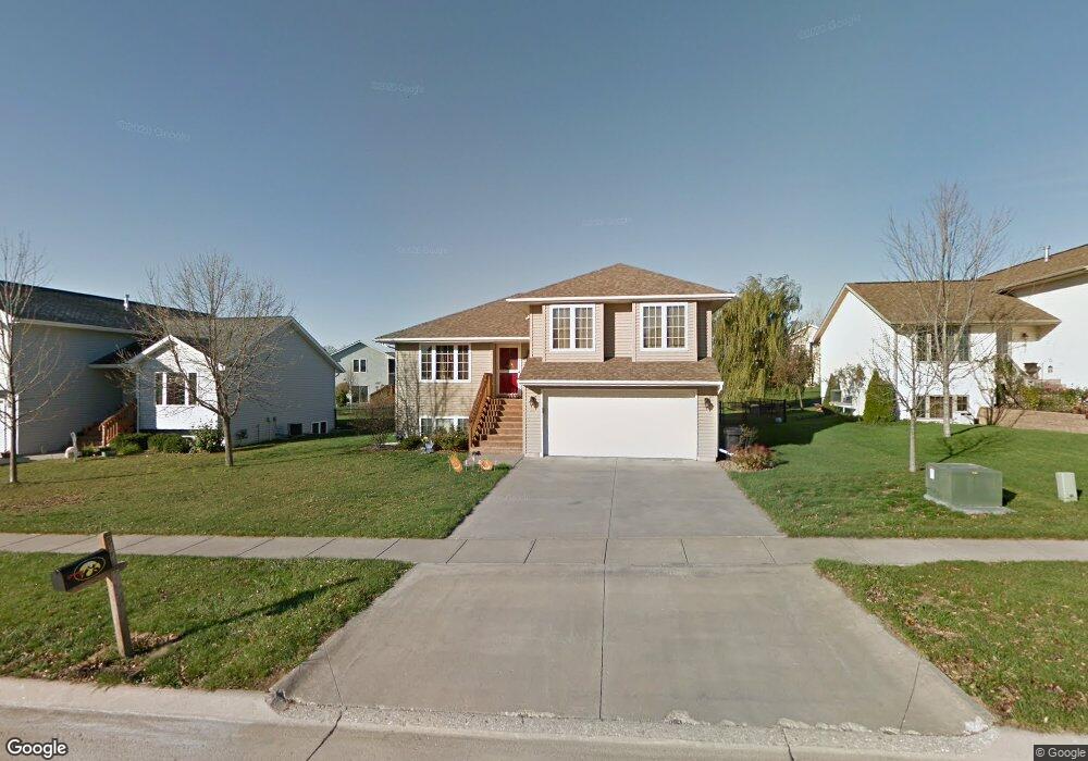
55 Penn Ridge Ct North Liberty, IA 52317
Estimated Value: $315,992 - $413,000
3
Beds
3
Baths
1,705
Sq Ft
$208/Sq Ft
Est. Value
About This Home
This home is located at 55 Penn Ridge Ct, North Liberty, IA 52317 and is currently estimated at $353,998, approximately $207 per square foot. 55 Penn Ridge Ct is a home located in Johnson County with nearby schools including Penn Elementary School, North Central Junior High School, and Liberty High School.
Ownership History
Date
Name
Owned For
Owner Type
Purchase Details
Closed on
Apr 20, 2007
Sold by
Schoon Jason B and Schoon Shannon
Bought by
Conner Jonathan R and Conner Sarah R
Current Estimated Value
Home Financials for this Owner
Home Financials are based on the most recent Mortgage that was taken out on this home.
Original Mortgage
$151,920
Outstanding Balance
$92,107
Interest Rate
6.2%
Mortgage Type
New Conventional
Estimated Equity
$261,891
Create a Home Valuation Report for This Property
The Home Valuation Report is an in-depth analysis detailing your home's value as well as a comparison with similar homes in the area
Home Values in the Area
Average Home Value in this Area
Purchase History
| Date | Buyer | Sale Price | Title Company |
|---|---|---|---|
| Conner Jonathan R | $190,000 | None Available |
Source: Public Records
Mortgage History
| Date | Status | Borrower | Loan Amount |
|---|---|---|---|
| Open | Conner Jonathan R | $151,920 |
Source: Public Records
Tax History Compared to Growth
Tax History
| Year | Tax Paid | Tax Assessment Tax Assessment Total Assessment is a certain percentage of the fair market value that is determined by local assessors to be the total taxable value of land and additions on the property. | Land | Improvement |
|---|---|---|---|---|
| 2025 | $4,178 | $351,600 | $62,100 | $289,500 |
| 2024 | $4,084 | $253,200 | $31,100 | $222,100 |
| 2023 | $4,426 | $253,200 | $31,100 | $222,100 |
| 2022 | $4,168 | $237,000 | $31,100 | $205,900 |
| 2021 | $4,018 | $235,500 | $31,100 | $204,400 |
| 2020 | $4,018 | $216,900 | $31,100 | $185,800 |
| 2019 | $4,018 | $216,900 | $31,100 | $185,800 |
| 2018 | $3,938 | $216,900 | $31,100 | $185,800 |
| 2017 | $3,878 | $216,900 | $31,100 | $185,800 |
| 2016 | $3,770 | $212,600 | $31,100 | $181,500 |
| 2015 | $3,770 | $212,600 | $31,100 | $181,500 |
| 2014 | $3,460 | $195,100 | $31,100 | $164,000 |
Source: Public Records
Map
Nearby Homes
- 110 Whitman Ave
- 280 N Juniper St
- 667 Andy Ct
- 662 Molly Dr
- 270 & 280 Chestnut St
- 155 N Front St
- 200 Juniper Ct
- 740 Molly Dr
- 622 Emily St
- 435 E Jefferson St
- 815 Yorkshire St
- Lot 27 Greenbelt Trail Part 5
- 830 Yorkshire St
- 840 Yorkshire St
- Lot 72 Greenbelt Trail Part 5
- 25 Birch Ct
- 845 Yorkshire St
- Lot 66 Greenbelt Trail Part 5
- Lot 64 Greenbelt Trail Part 5
- Lot 26 Greenbelt Trail Part 5
- 65 Penn Ridge Ct
- 45 Penn Ridge Ct
- 320 Penn Ridge Dr
- 260 Whitman Ave
- 35 Penn Ridge Ct
- 310 Penn Ridge Dr
- 75 Penn Ridge Ct
- 60 Penn Ridge Ct
- 50 Penn Ridge Ct
- 280 Whitman Ave
- 25 Penn Ridge Ct
- 70 Penn Ridge Ct
- 40 Penn Ridge Ct
- 85 Penn Ridge Ct
- 290 Whitman Ave
- 30 Penn Ridge Ct
- 80 Penn Ridge Ct
- 255 Radcliffe Dr
- 20 Penn Ridge Ct
- 245 Radcliffe Dr