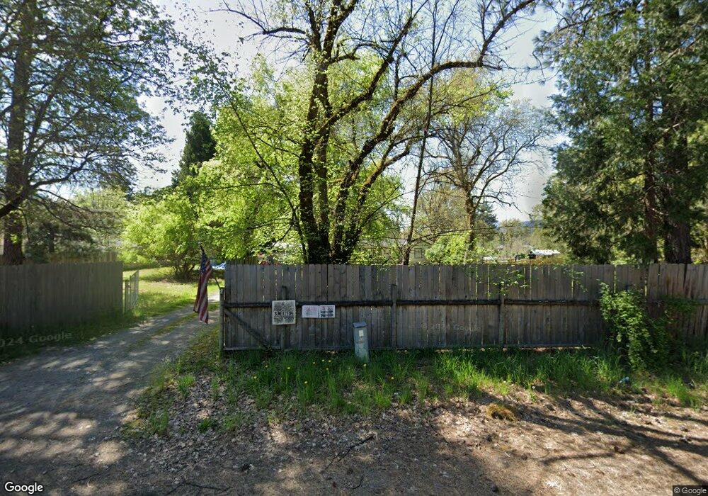
55 Queens Branch Rd Rogue River, OR 97537
Wimer NeighborhoodEstimated Value: $273,020 - $369,000
2
Beds
1
Bath
1,044
Sq Ft
$314/Sq Ft
Est. Value
About This Home
This home is located at 55 Queens Branch Rd, Rogue River, OR 97537 and is currently estimated at $328,007, approximately $314 per square foot. 55 Queens Branch Rd is a home located in Jackson County with nearby schools including Rogue River Elementary School, South Valley Academy, and Rogue River Junior/Senior High School.
Ownership History
Date
Name
Owned For
Owner Type
Purchase Details
Closed on
Jul 23, 2009
Sold by
The Bank Of New York
Bought by
Smith Ernie L
Current Estimated Value
Home Financials for this Owner
Home Financials are based on the most recent Mortgage that was taken out on this home.
Original Mortgage
$115,862
Interest Rate
5.25%
Mortgage Type
FHA
Purchase Details
Closed on
Sep 2, 2008
Sold by
Palmer Robert Clyde
Bought by
The Bank Of New York and Certificateholders Cwabs Inc Asset Backe
Purchase Details
Closed on
Apr 23, 2001
Sold by
Allen Thomas R and Allen Teresa M
Bought by
Palmer Robert Clyde and Tripp Richard
Home Financials for this Owner
Home Financials are based on the most recent Mortgage that was taken out on this home.
Original Mortgage
$98,618
Interest Rate
6.98%
Mortgage Type
FHA
Create a Home Valuation Report for This Property
The Home Valuation Report is an in-depth analysis detailing your home's value as well as a comparison with similar homes in the area
Home Values in the Area
Average Home Value in this Area
Purchase History
| Date | Buyer | Sale Price | Title Company |
|---|---|---|---|
| Smith Ernie L | $118,000 | First American Title | |
| The Bank Of New York | $161,500 | None Available | |
| Palmer Robert Clyde | $99,500 | Crater Title Insurance |
Source: Public Records
Mortgage History
| Date | Status | Borrower | Loan Amount |
|---|---|---|---|
| Previous Owner | Smith Ernie L | $115,862 | |
| Previous Owner | Palmer Robert Clyde | $98,618 |
Source: Public Records
Tax History Compared to Growth
Tax History
| Year | Tax Paid | Tax Assessment Tax Assessment Total Assessment is a certain percentage of the fair market value that is determined by local assessors to be the total taxable value of land and additions on the property. | Land | Improvement |
|---|---|---|---|---|
| 2025 | $1,761 | $172,970 | $95,710 | $77,260 |
| 2024 | $1,761 | $167,940 | $113,710 | $54,230 |
| 2023 | $1,703 | $163,050 | $110,400 | $52,650 |
| 2022 | $1,601 | $163,050 | $110,400 | $52,650 |
| 2021 | $1,553 | $158,310 | $107,190 | $51,120 |
| 2020 | $1,515 | $153,700 | $104,070 | $49,630 |
| 2019 | $1,477 | $144,890 | $98,110 | $46,780 |
| 2018 | $1,438 | $140,670 | $95,250 | $45,420 |
| 2017 | $1,404 | $140,670 | $95,250 | $45,420 |
| 2016 | $1,368 | $132,610 | $89,790 | $42,820 |
| 2015 | $1,324 | $132,610 | $89,790 | $42,820 |
| 2014 | $1,279 | $125,000 | $84,640 | $40,360 |
Source: Public Records
Map
Nearby Homes
- 149 Queens Branch Rd
- 7994 E Evans Creek Rd
- 255 Queens Branch Rd
- 643 Covered Bridge Rd
- 8951 E Evans Creek Rd Unit 14
- 100 Minthorne Rd
- 798 Covered Bridge Rd
- 7118 Redthorne Rd
- 1205 Pine Grove Rd
- 7310 W Evans Creek Rd
- 1105 Pine Grove Rd
- 835 Minthorne Rd
- 6324 E Evans Creek Rd
- 1740 Pleasant Creek Rd
- 9184 W Evans Creek Rd
- 9820 E Evans Creek Rd
- 10100 W Evans Creek Rd
- 8797 W Evans Creek Rd
- 1480 Sykes Creek Rd
- 0 E Evans Creek Rd Unit 11568775
- 21 Queens Branch Rd
- 7923 E Evans Creek Rd
- 99 Queens Branch Rd
- 89 Queens Branch Rd
- 7901 E Evans Creek Rd
- 7903 E Evans Creek Rd
- 96 Queens Branch Rd
- 7924 E Evans Creek Rd
- 8005 E Evans Creek Rd
- 56 Queens Branch Rd
- 56 Queen's Branch Rd
- 7875 E Evans Creek Rd
- 7974 E Evans Creek Rd
- 142 Queens Branch Rd
- 215 Queens Branch Rd
- 8057 E Evans Creek Rd
- 8027 E Evans Creek Rd
- 216 Queens Branch Rd
- 8062 E Evans Creek Rd
- 189 Queens Branch Rd