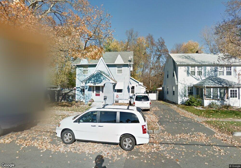
55 Ralph St Springfield, MA 01109
Pine Point NeighborhoodEstimated Value: $246,000 - $312,000
3
Beds
1
Bath
1,332
Sq Ft
$204/Sq Ft
Est. Value
About This Home
This home is located at 55 Ralph St, Springfield, MA 01109 and is currently estimated at $271,868, approximately $204 per square foot. 55 Ralph St is a home located in Hampden County with nearby schools including Hiram L. Dorman Elementary, John F. Kennedy Academy, and Springfield Central High School.
Ownership History
Date
Name
Owned For
Owner Type
Purchase Details
Closed on
Dec 3, 2004
Sold by
Rose George P
Bought by
Rose Donna L and Rose George P
Current Estimated Value
Home Financials for this Owner
Home Financials are based on the most recent Mortgage that was taken out on this home.
Original Mortgage
$104,000
Outstanding Balance
$51,945
Interest Rate
5.69%
Mortgage Type
Purchase Money Mortgage
Estimated Equity
$219,923
Purchase Details
Closed on
Mar 5, 1993
Sold by
Hall Steven J and Hall Giobane F
Bought by
Rose George P
Home Financials for this Owner
Home Financials are based on the most recent Mortgage that was taken out on this home.
Original Mortgage
$77,112
Interest Rate
7.96%
Mortgage Type
Purchase Money Mortgage
Create a Home Valuation Report for This Property
The Home Valuation Report is an in-depth analysis detailing your home's value as well as a comparison with similar homes in the area
Home Values in the Area
Average Home Value in this Area
Purchase History
| Date | Buyer | Sale Price | Title Company |
|---|---|---|---|
| Rose Donna L | -- | -- | |
| Rose George P | $75,600 | -- |
Source: Public Records
Mortgage History
| Date | Status | Borrower | Loan Amount |
|---|---|---|---|
| Open | Rose Donna L | $104,000 | |
| Previous Owner | Rose George P | $78,544 | |
| Previous Owner | Rose George P | $25,000 | |
| Previous Owner | Rose George P | $75,570 | |
| Previous Owner | Rose George P | $77,112 |
Source: Public Records
Tax History Compared to Growth
Tax History
| Year | Tax Paid | Tax Assessment Tax Assessment Total Assessment is a certain percentage of the fair market value that is determined by local assessors to be the total taxable value of land and additions on the property. | Land | Improvement |
|---|---|---|---|---|
| 2025 | $3,288 | $209,700 | $41,400 | $168,300 |
| 2024 | $3,349 | $208,500 | $34,500 | $174,000 |
| 2023 | $3,134 | $183,800 | $31,400 | $152,400 |
| 2022 | $2,787 | $148,100 | $29,400 | $118,700 |
| 2021 | $2,731 | $144,500 | $26,700 | $117,800 |
| 2020 | $2,732 | $139,900 | $26,700 | $113,200 |
| 2019 | $2,580 | $131,100 | $26,700 | $104,400 |
| 2018 | $2,328 | $118,300 | $26,700 | $91,600 |
| 2017 | $2,231 | $113,500 | $24,700 | $88,800 |
| 2016 | $1,986 | $101,000 | $24,700 | $76,300 |
| 2015 | $2,065 | $105,000 | $24,700 | $80,300 |
Source: Public Records
Map
Nearby Homes
- 59 Ralph St
- 45 Ralph St
- 39 Ralph St Unit 41
- 35 Merritt St
- 30 Merritt St
- 35-37 Ralph St
- 35 Ralph St Unit 37
- 44 Ralph St Unit 46
- 27 Merritt St Unit 29
- 27-29 Merritt St
- 29 Ralph St Unit 31
- 22 Merritt St
- 38 Ralph St
- 21 Merritt St
- 32 Ralph St
- 23 Ralph St Unit 25
- 16 Merritt St
- 15 Merritt St
- 67 Jasper St
- 73 Jasper St