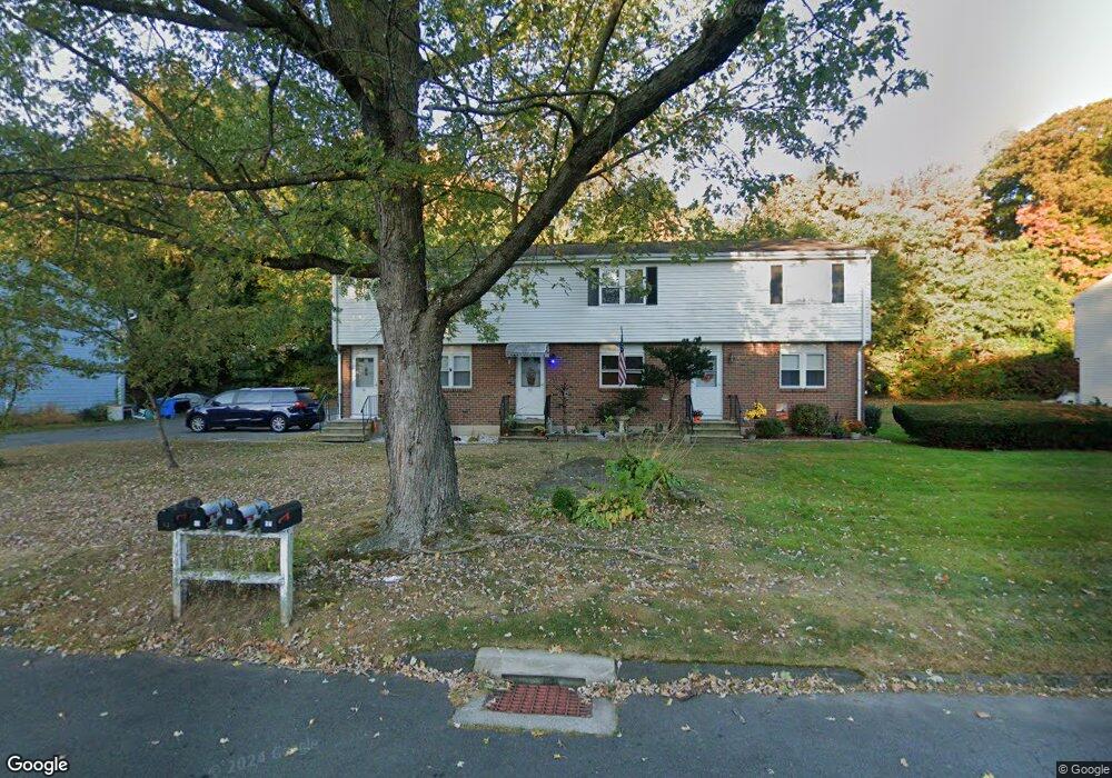
55 Robertson St Bristol, CT 06010
Forestville NeighborhoodEstimated Value: $230,972 - $248,000
2
Beds
2
Baths
1,116
Sq Ft
$215/Sq Ft
Est. Value
About This Home
This home is located at 55 Robertson St, Bristol, CT 06010 and is currently estimated at $239,493, approximately $214 per square foot. 55 Robertson St is a home located in Hartford County with nearby schools including Northeast Middle School, Bristol Eastern High School, and St Matthew School.
Ownership History
Date
Name
Owned For
Owner Type
Purchase Details
Closed on
Oct 28, 1994
Sold by
Caffrey Andrew and Caffrey Alice
Bought by
Feder Daniel and Feder Mary
Current Estimated Value
Home Financials for this Owner
Home Financials are based on the most recent Mortgage that was taken out on this home.
Original Mortgage
$148,480
Interest Rate
8.65%
Mortgage Type
Unknown
Purchase Details
Closed on
Feb 28, 1983
Bought by
Alvich Tyrone
Create a Home Valuation Report for This Property
The Home Valuation Report is an in-depth analysis detailing your home's value as well as a comparison with similar homes in the area
Home Values in the Area
Average Home Value in this Area
Purchase History
| Date | Buyer | Sale Price | Title Company |
|---|---|---|---|
| Feder Daniel | $156,300 | -- | |
| Alvich Tyrone | -- | -- |
Source: Public Records
Mortgage History
| Date | Status | Borrower | Loan Amount |
|---|---|---|---|
| Closed | Alvich Tyrone | $28,000 | |
| Closed | Alvich Tyrone | $148,480 |
Source: Public Records
Tax History Compared to Growth
Tax History
| Year | Tax Paid | Tax Assessment Tax Assessment Total Assessment is a certain percentage of the fair market value that is determined by local assessors to be the total taxable value of land and additions on the property. | Land | Improvement |
|---|---|---|---|---|
| 2025 | $3,319 | $98,350 | $0 | $98,350 |
| 2024 | $3,132 | $98,350 | $0 | $98,350 |
| 2023 | $2,985 | $98,350 | $0 | $98,350 |
| 2022 | $2,757 | $71,890 | $0 | $71,890 |
| 2021 | $2,757 | $71,890 | $0 | $71,890 |
| 2020 | $2,757 | $71,890 | $0 | $71,890 |
| 2019 | $2,735 | $71,890 | $0 | $71,890 |
| 2018 | $2,651 | $71,890 | $0 | $71,890 |
| 2017 | $2,482 | $68,880 | $0 | $68,880 |
| 2016 | $2,512 | $69,720 | $0 | $69,720 |
| 2015 | $2,413 | $69,720 | $0 | $69,720 |
| 2014 | $2,413 | $69,720 | $0 | $69,720 |
Source: Public Records
Map
Nearby Homes
- 35 Buckley Ave
- 73 Grove Ave
- 336 Washington St
- 46 Pleasant Ave
- 418 Washington St
- 3 Bushel Rd Unit 3
- 245 Mark St
- 205 Camp St
- 0 Overlook Dr Unit Lot 4 24092448
- 0 Overlook Dr Unit Lot 3 24092446
- 25 Oakwood Cir Unit 7
- 44 Cabot St
- 27 Oakwood Cir Unit 8
- 18 Timber Hill Rd
- 96 Kenney St
- 5 Peach Orchard Hill
- 25 Leon Rd
- 302 Brook St
- 16 Mechanic St
- 635 Pine St
- 57 Robertson St
- 53 Robertson St
- 53 Robertson St Unit 53
- 44 Robertson St
- 47 Robertson St
- 47 Robertson St Unit C
- 43 Robertson St
- 43 Robertson St Unit A
- 43 Robertson St Unit 43
- 56 Robertson St
- 45 Robertson St
- 45 Robertson St Unit 45
- 67 Robertson St
- 63 Robertson St
- 65 Robertson St
- 24 Robertson St
- 54 Robertson St
- 54 Robertson St Unit 54C
- 41 Robertson St
- 48 Robertson St