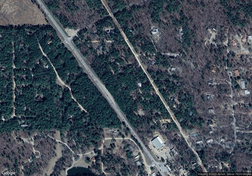
55 Sockeye Rd Broken Bow, OK 74728
Estimated Value: $384,421 - $486,000
3
Beds
2
Baths
1,352
Sq Ft
$321/Sq Ft
Est. Value
About This Home
This home is located at 55 Sockeye Rd, Broken Bow, OK 74728 and is currently estimated at $433,355, approximately $320 per square foot. 55 Sockeye Rd is a home with nearby schools including Dierks Elementary School, Bennett Elementary School, and Rector Johnson Middle School.
Ownership History
Date
Name
Owned For
Owner Type
Purchase Details
Closed on
Jul 24, 2017
Sold by
White Tim M
Bought by
Kierbow Dwight
Current Estimated Value
Home Financials for this Owner
Home Financials are based on the most recent Mortgage that was taken out on this home.
Original Mortgage
$252,000
Outstanding Balance
$209,484
Interest Rate
3.91%
Mortgage Type
New Conventional
Estimated Equity
$223,871
Purchase Details
Closed on
May 24, 2005
Sold by
Julian Bruce W and Julian Shari A
Bought by
White Tim M and White Gwen A
Create a Home Valuation Report for This Property
The Home Valuation Report is an in-depth analysis detailing your home's value as well as a comparison with similar homes in the area
Home Values in the Area
Average Home Value in this Area
Purchase History
| Date | Buyer | Sale Price | Title Company |
|---|---|---|---|
| Kierbow Dwight | $280,000 | American Eagle Title Group | |
| White Tim M | $35,000 | None Available |
Source: Public Records
Mortgage History
| Date | Status | Borrower | Loan Amount |
|---|---|---|---|
| Open | Kierbow Dwight | $252,000 |
Source: Public Records
Tax History Compared to Growth
Tax History
| Year | Tax Paid | Tax Assessment Tax Assessment Total Assessment is a certain percentage of the fair market value that is determined by local assessors to be the total taxable value of land and additions on the property. | Land | Improvement |
|---|---|---|---|---|
| 2023 | $1,253 | $15,281 | $5,500 | $9,781 |
| 2022 | $1,253 | $15,281 | $5,500 | $9,781 |
| 2021 | $1,232 | $15,281 | $5,500 | $9,781 |
| 2020 | $1,251 | $15,390 | $5,500 | $9,890 |
| 2019 | $1,265 | $15,499 | $5,500 | $9,999 |
| 2018 | $1,257 | $15,223 | $5,362 | $9,861 |
| 2017 | $1,207 | $14,499 | $5,072 | $9,427 |
| 2016 | $1,158 | $13,809 | $3,850 | $9,959 |
| 2015 | $1,180 | $13,743 | $3,850 | $9,893 |
| 2014 | $1,187 | $13,743 | $3,850 | $9,893 |
Source: Public Records
Map
Nearby Homes
- 341 Orca Rd
- 4 Hornbeam Rd
- 263 Orca Rd
- 295 Orca Rd
- 117 Jetty Ln
- 0 Lot 27 Unit 1200577
- 44 Pine Bluff Rd
- 80 Juniper Rd
- 206 Orca Rd
- 320 Orca Rd
- 302 Orca Rd
- 141 Wildwood Trail
- 240 Pine Meadow Ln
- 33 Pine Bluff Rd
- 111 Pine Bluff Rd
- 156 Butternut Trail
- 670 Pine Meadow Ln
- 47 Mountain Ash Trail
- 30 Mountain Ash Trail
- 58 Cypress Trail
- 56 Sockeye Rd
- 197 Ebb Tide Rd
- 209 Ebb Tide Rd
- 32 Sockeye Rd
- 44 Jetty Ln
- 123 Hornbeam Rd
- 264 Ebb Tide Rd
- 73 Ebb Tide Rd
- 175 Hemlock Grove Rd
- 398 Ebb Tide Rd
- 78 Hemlock Grove Rd
- 19 Steelhead Bay Ln
- 19 Steelhead Bay Land
- 146 Hornbeam Rd
- 244 Ebb Tide Rd
- 52 Hornbeam Rd
- 94 Ebb Tide Rd
- 130 Ebb Tide Rd
- 42 Hemlock Grove Rd
