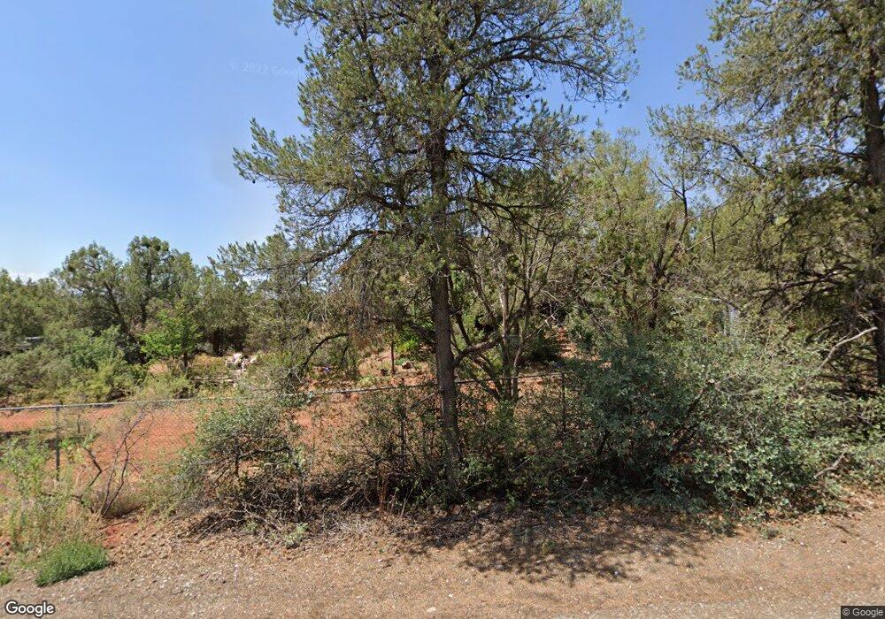
55 Table Top Rd Sedona, AZ 86336
Estimated Value: $960,000 - $1,282,000
--
Bed
--
Bath
2,050
Sq Ft
$541/Sq Ft
Est. Value
About This Home
This home is located at 55 Table Top Rd, Sedona, AZ 86336 and is currently estimated at $1,108,092, approximately $540 per square foot. 55 Table Top Rd is a home located in Yavapai County with nearby schools including West Sedona Elementary School, Sedona Red Rock Junior/Senior High School, and Sedona Charter School.
Ownership History
Date
Name
Owned For
Owner Type
Purchase Details
Closed on
Feb 6, 1999
Sold by
Sabo Eugene M
Bought by
Zabilski Julie A
Current Estimated Value
Home Financials for this Owner
Home Financials are based on the most recent Mortgage that was taken out on this home.
Original Mortgage
$133,250
Interest Rate
6.84%
Purchase Details
Closed on
Feb 18, 1998
Sold by
Taylor Tom
Bought by
Peltz Jerry D and Nadine Peltz V
Home Financials for this Owner
Home Financials are based on the most recent Mortgage that was taken out on this home.
Original Mortgage
$57,250
Interest Rate
7.07%
Mortgage Type
Seller Take Back
Create a Home Valuation Report for This Property
The Home Valuation Report is an in-depth analysis detailing your home's value as well as a comparison with similar homes in the area
Home Values in the Area
Average Home Value in this Area
Purchase History
| Date | Buyer | Sale Price | Title Company |
|---|---|---|---|
| Zabilski Julie A | -- | Chicago Title Insurance Co | |
| Peltz Jerry D | -- | Capital Title Agency |
Source: Public Records
Mortgage History
| Date | Status | Borrower | Loan Amount |
|---|---|---|---|
| Previous Owner | Zabilski Julie A | $133,250 | |
| Previous Owner | Peltz Jerry D | $57,250 |
Source: Public Records
Tax History Compared to Growth
Tax History
| Year | Tax Paid | Tax Assessment Tax Assessment Total Assessment is a certain percentage of the fair market value that is determined by local assessors to be the total taxable value of land and additions on the property. | Land | Improvement |
|---|---|---|---|---|
| 2026 | $3,691 | $96,283 | -- | -- |
| 2024 | $3,679 | $97,517 | -- | -- |
| 2023 | $3,679 | $68,996 | $0 | $0 |
| 2022 | $3,518 | $56,566 | $13,835 | $42,731 |
| 2021 | $3,611 | $54,809 | $13,295 | $41,514 |
| 2020 | $3,609 | $0 | $0 | $0 |
| 2019 | $3,582 | $0 | $0 | $0 |
| 2018 | $3,407 | $0 | $0 | $0 |
| 2017 | $3,326 | $0 | $0 | $0 |
| 2016 | $3,261 | $0 | $0 | $0 |
| 2015 | $2,949 | $0 | $0 | $0 |
| 2014 | $2,775 | $0 | $0 | $0 |
Source: Public Records
Map
Nearby Homes
- 3.67 acres Carol Canyon (6 Parcels) Dr
- 3.67 acres Carol Canyon (6 Parcels) Dr Unit 1-6
- 55 Arroyo Dr
- 550 El Camino Rd
- 285 Page Pkwy
- 2782 W State Route 89a
- 2455 Maxwell Ln
- 25 Via Del Arte
- 2620 W State Route 89a
- 2235 Whippet Way
- 2265 Whippet Way
- 235 El Camino Grande
- 2625 Hooper Dr
- 2305 Roadrunner Rd
- 3340 W State Route 89a Unit 17
- 2035 Whippet Way
- 150 Donaldson Dr
- 3385 Calle Del Sol Unit 18
- 2272 Roadrunner Rd
- 160 Salido Del Sol
