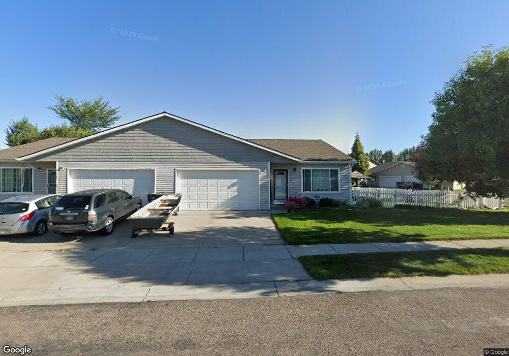
55 Vanderbilt Dr Kalispell, MT 59901
Estimated Value: $378,000 - $442,000
3
Beds
2
Baths
1,310
Sq Ft
$308/Sq Ft
Est. Value
About This Home
This home is located at 55 Vanderbilt Dr, Kalispell, MT 59901 and is currently estimated at $402,944, approximately $307 per square foot. 55 Vanderbilt Dr is a home located in Flathead County with nearby schools including Edgerton School, Glacier High School, and Trinity Lutheran School.
Ownership History
Date
Name
Owned For
Owner Type
Purchase Details
Closed on
Jun 21, 2011
Sold by
Fannie Mae
Bought by
Denys Stephen M and Denys Stephanie L
Current Estimated Value
Home Financials for this Owner
Home Financials are based on the most recent Mortgage that was taken out on this home.
Original Mortgage
$123,316
Outstanding Balance
$84,732
Interest Rate
4.56%
Mortgage Type
New Conventional
Estimated Equity
$318,212
Purchase Details
Closed on
Feb 1, 2011
Sold by
Kong Bud D and King Amy G
Bought by
Fannie Mae and Federal National Mortgage Association
Purchase Details
Closed on
Feb 15, 2007
Sold by
Bouillon Pamela Sue
Bought by
King Bud D and King Amy G
Purchase Details
Closed on
Nov 7, 2005
Sold by
Turner Wayne E
Bought by
Bouillon Pamela Sue
Create a Home Valuation Report for This Property
The Home Valuation Report is an in-depth analysis detailing your home's value as well as a comparison with similar homes in the area
Home Values in the Area
Average Home Value in this Area
Purchase History
| Date | Buyer | Sale Price | Title Company |
|---|---|---|---|
| Denys Stephen M | -- | First American Title Company | |
| Fannie Mae | $145,952 | None Available | |
| King Bud D | -- | Flathead County Title Compan | |
| Bouillon Pamela Sue | -- | None Available |
Source: Public Records
Mortgage History
| Date | Status | Borrower | Loan Amount |
|---|---|---|---|
| Open | Denys Stephen M | $123,316 |
Source: Public Records
Tax History Compared to Growth
Tax History
| Year | Tax Paid | Tax Assessment Tax Assessment Total Assessment is a certain percentage of the fair market value that is determined by local assessors to be the total taxable value of land and additions on the property. | Land | Improvement |
|---|---|---|---|---|
| 2025 | $1,892 | $393,500 | $0 | $0 |
| 2024 | $2,591 | $332,700 | $0 | $0 |
| 2023 | $2,858 | $332,700 | $0 | $0 |
| 2022 | $2,331 | $232,000 | $0 | $0 |
| 2021 | $2,497 | $232,000 | $0 | $0 |
| 2020 | $2,336 | $188,500 | $0 | $0 |
| 2019 | $2,340 | $188,500 | $0 | $0 |
| 2018 | $2,212 | $169,500 | $0 | $0 |
| 2017 | $1,776 | $169,500 | $0 | $0 |
| 2016 | $1,780 | $145,800 | $0 | $0 |
| 2015 | $1,779 | $145,800 | $0 | $0 |
| 2014 | $1,862 | $92,326 | $0 | $0 |
Source: Public Records
Map
Nearby Homes
- 31 Rockefeller Dr
- 56 W Northview Loop
- 10 Rockefeller Dr
- 140 Barron Way
- 119 Barron Way
- 173 N Riding Rd
- 108 Hearst Dr
- 118 Beville Ct
- 101 Blue Crest Dr
- 210 Kara Dr
- 224 Kara Dr
- 125 Sherry Ln
- 206,208,210,212,214, Northridge Way
- 105 Matthew Ct
- 120 Northern Lights Blvd
- 433 Needlegrass Ln
- 412 Needlegrass Ln
- 511 Northridge Dr
- 424 Needlegrass Ln
- 255 Triple Creek Dr
- 53 Vanderbilt Dr
- 61 Empire Loop
- 49 Vanderbilt Dr
- 63 Empire Loop
- 52 Empire Loop
- 54 Empire Loop
- 50 Empire Loop
- 54 Vanderbilt Dr
- 65 Empire Loop
- 50 Vanderbilt Dr
- 56 Empire Loop
- 47 Vanderbilt Dr
- 48 Empire Loop
- 42 Carnegie Dr
- 58 Empire Loop
- 46 Empire Loop
- 46 Vanderbilt Dr
- 67 Empire Loop
- 40 Carnegie Dr
- 60 Empire Loop