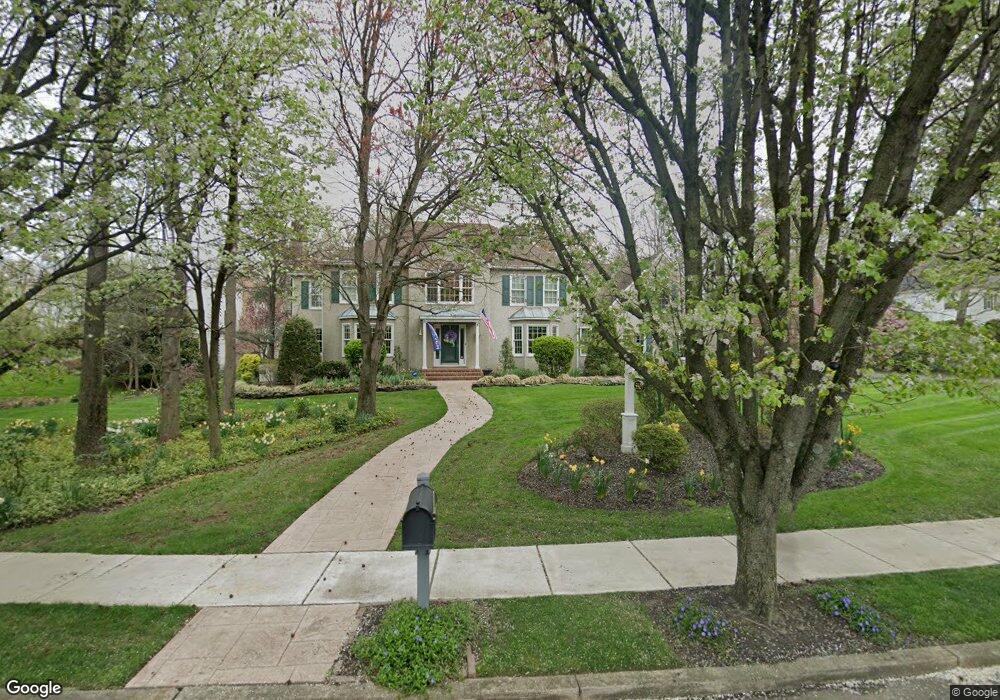
550 Bartram Rd Moorestown, NJ 08057
Estimated Value: $1,205,990 - $1,497,000
--
Bed
--
Bath
4,129
Sq Ft
$316/Sq Ft
Est. Value
About This Home
This home is located at 550 Bartram Rd, Moorestown, NJ 08057 and is currently estimated at $1,305,663, approximately $316 per square foot. 550 Bartram Rd is a home located in Burlington County with nearby schools including George C. Baker Elementary School, Moorestown Upper Elementary School, and William Allen Middle School.
Ownership History
Date
Name
Owned For
Owner Type
Purchase Details
Closed on
Jun 29, 1990
Bought by
Collier Andrew J and Collier Kathleen A
Current Estimated Value
Create a Home Valuation Report for This Property
The Home Valuation Report is an in-depth analysis detailing your home's value as well as a comparison with similar homes in the area
Home Values in the Area
Average Home Value in this Area
Purchase History
| Date | Buyer | Sale Price | Title Company |
|---|---|---|---|
| Collier Andrew J | $57,500 | -- |
Source: Public Records
Tax History Compared to Growth
Tax History
| Year | Tax Paid | Tax Assessment Tax Assessment Total Assessment is a certain percentage of the fair market value that is determined by local assessors to be the total taxable value of land and additions on the property. | Land | Improvement |
|---|---|---|---|---|
| 2025 | $20,418 | $719,700 | $157,800 | $561,900 |
| 2024 | $18,905 | $719,700 | $157,800 | $561,900 |
| 2023 | $18,465 | $719,700 | $157,800 | $561,900 |
| 2022 | $18,465 | $687,200 | $0 | $0 |
| 2021 | $18,465 | $687,200 | $0 | $0 |
| 2020 | $18,348 | $687,200 | $0 | $0 |
| 2019 | $18,025 | $719,700 | $157,800 | $561,900 |
| 2018 | $17,257 | $676,200 | $157,800 | $518,400 |
| 2017 | $17,405 | $676,200 | $157,800 | $518,400 |
| 2016 | $17,345 | $676,200 | $157,800 | $518,400 |
| 2015 | $17,135 | $676,200 | $157,800 | $518,400 |
| 2014 | $16,269 | $676,200 | $157,800 | $518,400 |
Source: Public Records
Map
Nearby Homes
- 543 Bethel Ave
- 25 Oriole Way
- 308 Farmdale Rd
- 493 N Church St
- 316 Farmdale Rd
- 423 Park Blvd
- 2801 Riverton Rd
- 863 Golf View Rd
- 313 Fairview Ave
- 50 E 3rd St
- 66 E 3rd St
- 82 E 3rd St
- 80 E 3rd St
- 205 E Central Ave
- 316 W 3rd St
- 15 E 2nd St
- 133 Plum St Unit 6
- 744 Signal Light Rd
- 531 Covington Terrace
- 343 Tom Brown Rd