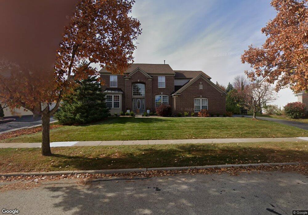
550 Brookside Ave Algonquin, IL 60102
Far West Algonquin NeighborhoodEstimated Value: $562,158 - $621,000
4
Beds
4
Baths
3,172
Sq Ft
$187/Sq Ft
Est. Value
About This Home
This home is located at 550 Brookside Ave, Algonquin, IL 60102 and is currently estimated at $593,540, approximately $187 per square foot. 550 Brookside Ave is a home located in McHenry County with nearby schools including Westfield Community School, Lincoln Prairie Elementary School, and Harry D Jacobs High School.
Ownership History
Date
Name
Owned For
Owner Type
Purchase Details
Closed on
Oct 25, 2002
Sold by
Pelletier Michael S and Boriss Larissa
Bought by
Pelletier Michael S and Pelletier Larissa
Current Estimated Value
Home Financials for this Owner
Home Financials are based on the most recent Mortgage that was taken out on this home.
Original Mortgage
$283,000
Outstanding Balance
$119,931
Interest Rate
6.18%
Estimated Equity
$473,609
Purchase Details
Closed on
Aug 10, 2001
Sold by
Pulte Homes
Bought by
Pelleter Michael S and Boriss Larissa
Home Financials for this Owner
Home Financials are based on the most recent Mortgage that was taken out on this home.
Original Mortgage
$275,000
Interest Rate
7.15%
Create a Home Valuation Report for This Property
The Home Valuation Report is an in-depth analysis detailing your home's value as well as a comparison with similar homes in the area
Home Values in the Area
Average Home Value in this Area
Purchase History
| Date | Buyer | Sale Price | Title Company |
|---|---|---|---|
| Pelletier Michael S | -- | Fox Title Company | |
| Pelleter Michael S | $344,510 | First American |
Source: Public Records
Mortgage History
| Date | Status | Borrower | Loan Amount |
|---|---|---|---|
| Open | Pelletier Michael S | $283,000 | |
| Previous Owner | Pelleter Michael S | $275,000 |
Source: Public Records
Tax History
| Year | Tax Paid | Tax Assessment Tax Assessment Total Assessment is a certain percentage of the fair market value that is determined by local assessors to be the total taxable value of land and additions on the property. | Land | Improvement |
|---|---|---|---|---|
| 2024 | $10,378 | $148,667 | $23,306 | $125,361 |
| 2023 | $9,791 | $132,964 | $20,844 | $112,120 |
| 2022 | $10,400 | $132,265 | $26,054 | $106,211 |
| 2021 | $9,958 | $123,220 | $24,272 | $98,948 |
| 2020 | $9,685 | $118,858 | $23,413 | $95,445 |
| 2019 | $9,895 | $113,761 | $22,409 | $91,352 |
| 2018 | $11,078 | $122,226 | $20,701 | $101,525 |
| 2017 | $10,869 | $115,145 | $19,502 | $95,643 |
| 2016 | $10,726 | $107,996 | $18,291 | $89,705 |
| 2013 | -- | $105,866 | $17,063 | $88,803 |
Source: Public Records
Map
Nearby Homes
- 16 Springbrook Ln
- 601 Woods Creek Ln
- 3260 Nottingham Dr
- 3610 Lakeview Dr
- 4241 Wanderlust Dr
- 531 Alpine Dr
- 940 Treeline Dr
- 2660 Harnish Dr
- 4 Greenbrier Ct
- 432 Thunder Ridge
- 3650 Wintergreen Terrace
- 895 Eineke Blvd
- 305 Harvest Gate
- 2380 Dawson Ln Unit 165
- 2930 Harnish Dr
- 2956 Harnish Dr
- 4051 Willow View Dr
- 610 Juniper Ln
- 74 Harvest Gate
- 1157 Sawmill Ln
- 560 Brookside Ave
- 540 Brookside Ave
- 561 Saratoga Cir
- 551 Saratoga Cir
- 530 Brookside Ave
- 570 Brookside Ave
- 571 Saratoga Cir
- 551 Brookside Ave
- 541 Brookside Ave
- 561 Brookside Ave
- 531 Brookside Ave
- 541 Saratoga Cir
- 520 Brookside Ave
- 581 Saratoga Cir
- 580 Brookside Ave
- 571 Brookside Ave
- 521 Brookside Ave
- 9 Rock River Ct
- 531 Saratoga Cir
- 510 Brookside Ave
Your Personal Tour Guide
Ask me questions while you tour the home.