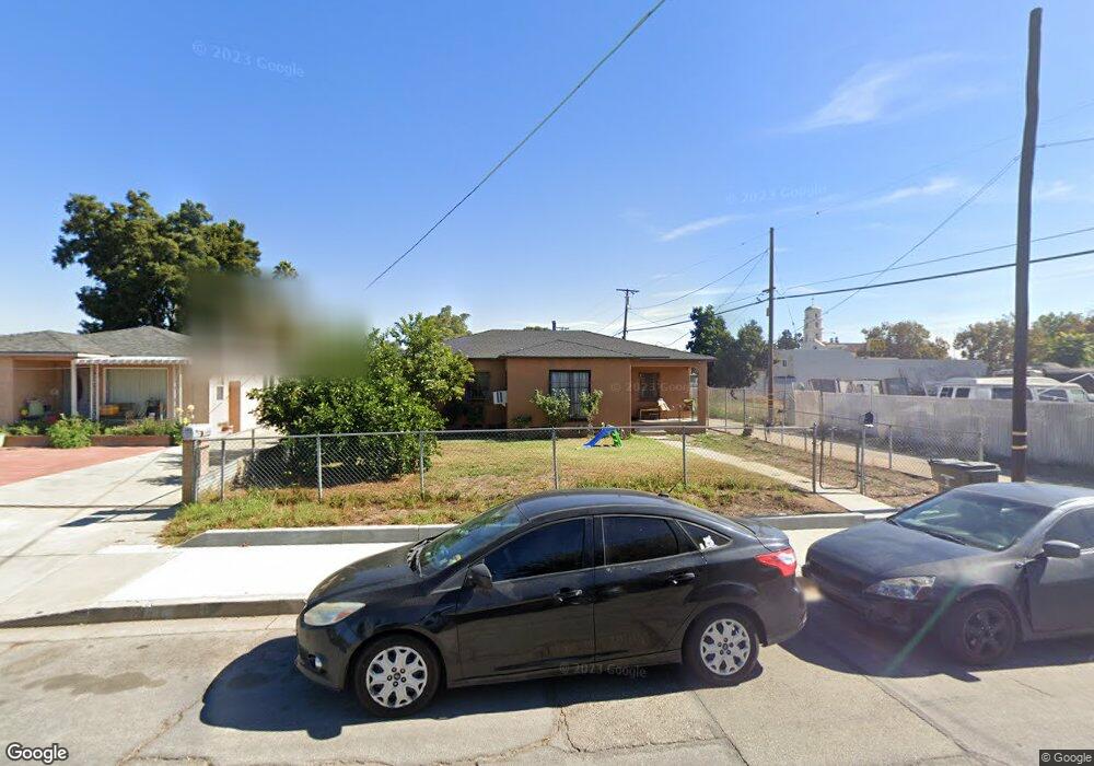
550 Date St Pomona, CA 91768
Ganesha NeighborhoodEstimated Value: $553,000 - $594,000
2
Beds
1
Bath
1,179
Sq Ft
$492/Sq Ft
Est. Value
About This Home
This home is located at 550 Date St, Pomona, CA 91768 and is currently estimated at $579,504, approximately $491 per square foot. 550 Date St is a home located in Los Angeles County with nearby schools including Roosevelt Elementary School, Marshall Middle School, and Ganesha High School.
Ownership History
Date
Name
Owned For
Owner Type
Purchase Details
Closed on
Nov 14, 2002
Sold by
Delao Jose S
Bought by
Loza Karla P
Current Estimated Value
Home Financials for this Owner
Home Financials are based on the most recent Mortgage that was taken out on this home.
Original Mortgage
$109,350
Outstanding Balance
$45,836
Interest Rate
6.03%
Estimated Equity
$533,668
Purchase Details
Closed on
Jan 18, 2001
Sold by
Va
Bought by
Diaz Barbara J
Home Financials for this Owner
Home Financials are based on the most recent Mortgage that was taken out on this home.
Original Mortgage
$97,850
Interest Rate
7.71%
Purchase Details
Closed on
Dec 13, 2000
Sold by
Diaz Bennie
Bought by
Delao Jose S and Delao Zaida
Home Financials for this Owner
Home Financials are based on the most recent Mortgage that was taken out on this home.
Original Mortgage
$97,850
Interest Rate
7.71%
Create a Home Valuation Report for This Property
The Home Valuation Report is an in-depth analysis detailing your home's value as well as a comparison with similar homes in the area
Home Values in the Area
Average Home Value in this Area
Purchase History
| Date | Buyer | Sale Price | Title Company |
|---|---|---|---|
| Loza Karla P | $121,500 | Commerce Title Company | |
| Diaz Barbara J | -- | Commonwealth Land Title Co | |
| Delao Jose S | $103,000 | Commonwealth Land Title Co |
Source: Public Records
Mortgage History
| Date | Status | Borrower | Loan Amount |
|---|---|---|---|
| Open | Loza Karla P | $109,350 | |
| Previous Owner | Delao Jose S | $97,850 |
Source: Public Records
Tax History
| Year | Tax Paid | Tax Assessment Tax Assessment Total Assessment is a certain percentage of the fair market value that is determined by local assessors to be the total taxable value of land and additions on the property. | Land | Improvement |
|---|---|---|---|---|
| 2025 | $3,110 | $238,950 | $144,820 | $94,130 |
| 2024 | $3,110 | $234,266 | $141,981 | $92,285 |
| 2023 | $3,046 | $229,674 | $139,198 | $90,476 |
| 2022 | $2,995 | $225,171 | $136,469 | $88,702 |
| 2021 | $2,922 | $220,757 | $133,794 | $86,963 |
| 2019 | $2,978 | $214,212 | $129,827 | $84,385 |
| 2018 | $2,752 | $210,013 | $127,282 | $82,731 |
| 2016 | $2,579 | $201,860 | $122,341 | $79,519 |
| 2015 | $2,556 | $198,829 | $120,504 | $78,325 |
| 2014 | $2,542 | $194,935 | $118,144 | $76,791 |
Source: Public Records
Map
Nearby Homes
- 737 Lewis St
- 753 Lewis St
- 763 Lewis St
- 1443 Laurel Ave
- 908 Werly Dr
- 1476 W Holt Ave
- 277 N Myrtle Ave
- 1240 Prabhu Way
- 1574 Laurel Ave
- 771 W Wilson St
- 795 Laurel Ave
- 1045 Cathedral Way
- 781 W Center St
- 1071 Breon St
- 115 S Myrtle Ave
- 264 Oak Ave
- 618 Randolph St
- 1196 N Hamilton Blvd
- 1385 Estel Dr
- 1300 W Mission Blvd
Your Personal Tour Guide
Ask me questions while you tour the home.