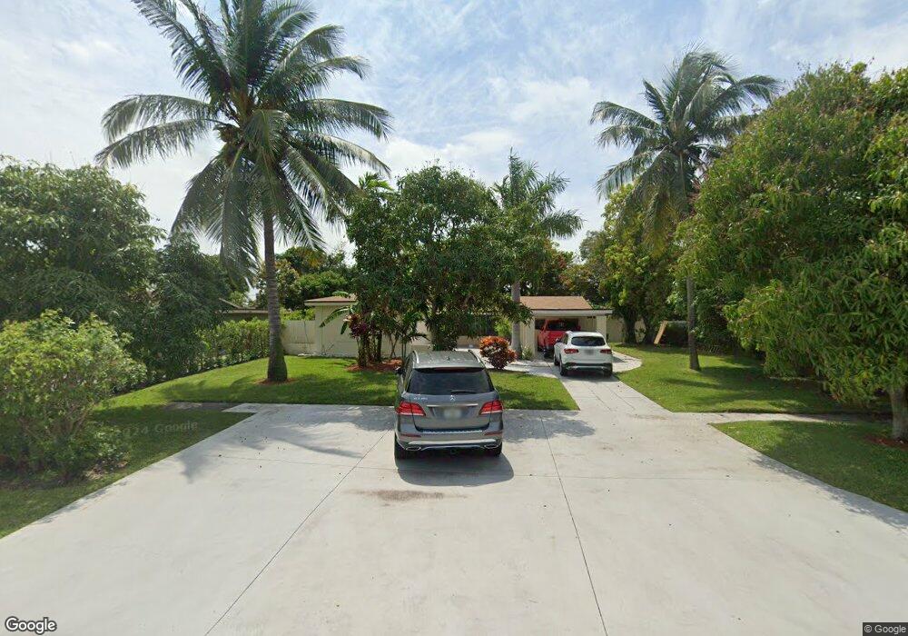
550 Davis Rd Delray Beach, FL 33445
High Point NeighborhoodEstimated Value: $361,000 - $471,000
--
Bed
2
Baths
1,568
Sq Ft
$259/Sq Ft
Est. Value
About This Home
This home is located at 550 Davis Rd, Delray Beach, FL 33445 and is currently estimated at $406,162, approximately $259 per square foot. 550 Davis Rd is a home located in Palm Beach County with nearby schools including Crosspointe Elementary School, Carver Middle School, and Atlantic High School.
Ownership History
Date
Name
Owned For
Owner Type
Purchase Details
Closed on
Mar 11, 1996
Sold by
Sec Of H U D
Bought by
Estimable Jean C
Current Estimated Value
Home Financials for this Owner
Home Financials are based on the most recent Mortgage that was taken out on this home.
Original Mortgage
$54,300
Outstanding Balance
$2,118
Interest Rate
6.97%
Mortgage Type
New Conventional
Estimated Equity
$404,044
Purchase Details
Closed on
Oct 11, 1995
Sold by
Bancboston Mortgage Corporation
Bought by
Sec Of Hud
Purchase Details
Closed on
Jun 12, 1995
Sold by
Clerk Circuit Court
Bought by
Bancboston Mtg Corp
Create a Home Valuation Report for This Property
The Home Valuation Report is an in-depth analysis detailing your home's value as well as a comparison with similar homes in the area
Home Values in the Area
Average Home Value in this Area
Purchase History
| Date | Buyer | Sale Price | Title Company |
|---|---|---|---|
| Estimable Jean C | $56,000 | -- | |
| Sec Of Hud | -- | -- | |
| Bancboston Mtg Corp | -- | -- | |
| Bancboston Mtg Corp | -- | -- |
Source: Public Records
Mortgage History
| Date | Status | Borrower | Loan Amount |
|---|---|---|---|
| Open | Sec Of Hud | $54,300 |
Source: Public Records
Tax History Compared to Growth
Tax History
| Year | Tax Paid | Tax Assessment Tax Assessment Total Assessment is a certain percentage of the fair market value that is determined by local assessors to be the total taxable value of land and additions on the property. | Land | Improvement |
|---|---|---|---|---|
| 2024 | $1,264 | $92,746 | -- | -- |
| 2023 | $1,242 | $90,045 | $0 | $0 |
| 2022 | $1,173 | $87,422 | $0 | $0 |
| 2021 | $1,151 | $84,876 | $0 | $0 |
| 2020 | $1,132 | $83,704 | $0 | $0 |
| 2019 | $1,106 | $81,822 | $0 | $0 |
| 2018 | $1,047 | $80,296 | $0 | $0 |
| 2017 | $1,026 | $78,644 | $0 | $0 |
| 2016 | $1,013 | $77,026 | $0 | $0 |
| 2015 | $1,030 | $76,491 | $0 | $0 |
| 2014 | -- | $75,884 | $0 | $0 |
Source: Public Records
Map
Nearby Homes
- 2515 N Coral Trace Cir
- 875 NW 22nd Ave
- 766 NW 24th Ave
- 1885 NW 9th St
- 842 High Point Blvd N Unit B
- 1930 NW 10th St
- 2455 S Coral Trace Cir
- 598 Coral Way
- 753 NW 26th Ave
- 770 High Point Blvd N Unit A
- 762 High Point Blvd N Unit D
- 767 High Point Dr E Unit C
- 2454 NW 9th St
- 760 High Point Blvd N Unit C
- 1060 NW 19th Terrace
- 870 High Point C Blvd N Unit C
- 853 NW 26th Ave
- 714 NW 27th Ave Unit A
- 818 NW 26th Ave
- 2500 NW 10th St