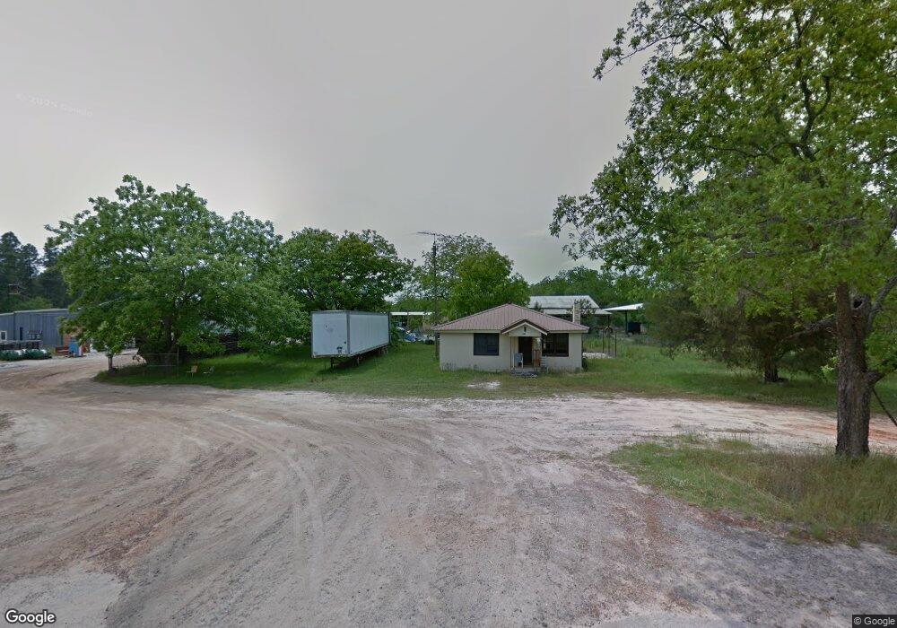
550 Ga Highway 33 S Cordele, GA 31015
Estimated Value: $322,000 - $490,000
3
Beds
3
Baths
1,834
Sq Ft
$213/Sq Ft
Est. Value
About This Home
This home is located at 550 Ga Highway 33 S, Cordele, GA 31015 and is currently estimated at $391,498, approximately $213 per square foot. 550 Ga Highway 33 S is a home located in Crisp County with nearby schools including Crisp County Primary School, Crisp County Elementary School, and Crisp County Middle School.
Ownership History
Date
Name
Owned For
Owner Type
Purchase Details
Closed on
Oct 16, 2023
Sold by
Dowdy David R
Bought by
Reid Jay C and Reid Kimberly A
Current Estimated Value
Purchase Details
Closed on
Nov 21, 2014
Sold by
Phillips James B
Bought by
Dowdy David R and Dowdy Lea P
Purchase Details
Closed on
Apr 19, 1988
Sold by
Phillips Carol Anne
Bought by
Phillips James B
Purchase Details
Closed on
Apr 24, 1986
Bought by
Phillips Carol Anne
Create a Home Valuation Report for This Property
The Home Valuation Report is an in-depth analysis detailing your home's value as well as a comparison with similar homes in the area
Home Values in the Area
Average Home Value in this Area
Purchase History
| Date | Buyer | Sale Price | Title Company |
|---|---|---|---|
| Reid Jay C | $400,000 | -- | |
| Dowdy David R | $77,460 | -- | |
| Phillips James B | -- | -- | |
| Phillips Carol Anne | -- | -- |
Source: Public Records
Tax History Compared to Growth
Tax History
| Year | Tax Paid | Tax Assessment Tax Assessment Total Assessment is a certain percentage of the fair market value that is determined by local assessors to be the total taxable value of land and additions on the property. | Land | Improvement |
|---|---|---|---|---|
| 2024 | $1,142 | $42,193 | $1,606 | $40,587 |
| 2023 | $1,127 | $40,138 | $1,606 | $38,532 |
| 2022 | $1,060 | $37,762 | $1,284 | $36,478 |
| 2021 | $1,059 | $35,707 | $1,284 | $34,423 |
| 2020 | $1,060 | $35,707 | $1,284 | $34,423 |
| 2019 | $1,054 | $35,707 | $1,284 | $34,423 |
| 2018 | $1,149 | $37,519 | $1,944 | $35,575 |
| 2017 | $1,154 | $37,519 | $1,944 | $35,575 |
| 2016 | $1,152 | $37,519 | $1,944 | $35,575 |
| 2015 | -- | $37,519 | $1,944 | $35,575 |
| 2014 | -- | $37,519 | $1,944 | $35,575 |
| 2013 | -- | $37,519 | $1,944 | $35,574 |
Source: Public Records
Map
Nearby Homes
- 2776 2776 S Ga 41 Hwy
- 2608 U S 41
- 501 Southern Lakes Dr
- 221 1st St W
- 104 4th St
- 11 Lochridge Way
- 114 Brier Patch Rd
- 2413 Old Hatley Rd
- 157 Bobwhite Dr
- 104 Aberdeen Cir
- 2905 Old Hatley Rd
- 68 Aberdeen Cir
- 0 Aberdeen Circle Lt# 28
- 141 Ruby St
- 2115 Royal Rd
- 3113 Old Hatley Rd
- 2298 U S 41
- 112 Judy Ave
- 49 Aberdeen Cir
- 56 Aberdeen Cir
- 599 Ga Highway 33 S
- 599 Ga Highway 33 S
- 599 Ga Highway 33 S
- 493 Ga Highway 33 S
- 186 big 186 Big Jim Rd
- 679 Ga Highway 33 S
- 684 Ga Highway 33 S
- 119 Simmons Dairy Rd
- Big Jim Big Jim Rd
- 444 Ga Highway 33 S
- 175 Simmons Dairy Rd
- 239 Big Jim Rd
- 111 Simmons Dairy Rd
- 118 Simmons Dairy Rd
- 151 Cofer Rd W
- 199 Simmons Dairy Rd
- 260 Big Jim Rd
- 215 Simmons Dairy Rd
- 182 Simmons Dairy Rd
- 469 Ga Highway 33 S