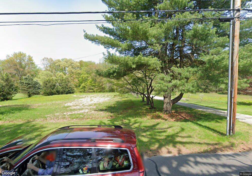
550 Morehouse Rd Easton, CT 06612
Estimated Value: $1,003,000 - $1,292,070
4
Beds
4
Baths
4,200
Sq Ft
$270/Sq Ft
Est. Value
About This Home
This home is located at 550 Morehouse Rd, Easton, CT 06612 and is currently estimated at $1,133,268, approximately $269 per square foot. 550 Morehouse Rd is a home located in Fairfield County with nearby schools including Samuel Staples Elementary School, Helen Keller Middle School, and Joel Barlow High School.
Ownership History
Date
Name
Owned For
Owner Type
Purchase Details
Closed on
Jul 22, 2009
Sold by
Dougall Nathan W
Bought by
Dougall Nathan W and Cochran Lori L
Current Estimated Value
Purchase Details
Closed on
Apr 9, 2009
Sold by
Richmond Leslie and Richmond Melissa
Bought by
Dougall Nathan W
Home Financials for this Owner
Home Financials are based on the most recent Mortgage that was taken out on this home.
Original Mortgage
$417,000
Interest Rate
4.94%
Purchase Details
Closed on
Aug 26, 2004
Sold by
Kochiss John L
Bought by
Richmond Melissa and Richmond Leslie
Create a Home Valuation Report for This Property
The Home Valuation Report is an in-depth analysis detailing your home's value as well as a comparison with similar homes in the area
Home Values in the Area
Average Home Value in this Area
Purchase History
| Date | Buyer | Sale Price | Title Company |
|---|---|---|---|
| Dougall Nathan W | -- | None Available | |
| Dougall Nathan W | -- | None Available | |
| Dougall Nathan W | $1,025,000 | -- | |
| Dougall Nathan W | $1,025,000 | -- | |
| Richmond Melissa | $585,000 | -- | |
| Richmond Melissa | $585,000 | -- |
Source: Public Records
Mortgage History
| Date | Status | Borrower | Loan Amount |
|---|---|---|---|
| Previous Owner | Richmond Melissa | $417,000 | |
| Previous Owner | Richmond Melissa | $650,000 |
Source: Public Records
Tax History Compared to Growth
Tax History
| Year | Tax Paid | Tax Assessment Tax Assessment Total Assessment is a certain percentage of the fair market value that is determined by local assessors to be the total taxable value of land and additions on the property. | Land | Improvement |
|---|---|---|---|---|
| 2025 | $15,405 | $496,930 | $182,350 | $314,580 |
| 2024 | $14,679 | $496,930 | $182,350 | $314,580 |
| 2023 | $14,391 | $496,930 | $182,350 | $314,580 |
| 2022 | $14,133 | $496,930 | $182,350 | $314,580 |
| 2021 | $15,065 | $465,700 | $213,840 | $251,860 |
| 2020 | $14,437 | $465,700 | $213,840 | $251,860 |
| 2019 | $14,590 | $465,700 | $213,840 | $251,860 |
| 2018 | $14,614 | $465,700 | $213,840 | $251,860 |
| 2017 | $15,545 | $465,700 | $213,840 | $251,860 |
| 2016 | $15,472 | $502,180 | $256,530 | $245,650 |
| 2015 | $15,256 | $502,180 | $256,530 | $245,650 |
| 2014 | $14,856 | $496,840 | $256,530 | $240,310 |
Source: Public Records
Map
Nearby Homes
- 48 Sunset Rd
- 305 Sport Hill Rd
- 39 Sunset Rd
- 63 Flat Rock Dr
- 16 Manor Ln
- 85 Westport Rd
- 38 Chester Rd
- 68 High Ridge Rd
- 100 Honeysuckle Hill Ln
- 35 Sturbridge Rd
- 101 Northwood Dr
- 80 Norton Rd
- 354 Black Rock Turnpike
- 93 Tersana Dr
- 83 Buck Hill Rd
- 18 Wells Hill Rd
- 897 Sport Hill Rd
- 76 Burr St
- 32 Adirondack Trail
- 132 Merrimac Dr
- 558 Morehouse Rd
- 536 Morehouse Rd
- 551 Morehouse Rd
- 100 Banks Rd
- 570 Morehouse Rd
- 569 Morehouse Rd
- 130 Banks Rd
- 60 Banks Rd
- 559 Morehouse Rd
- 583 Morehouse Rd
- 582 Morehouse Rd
- 514 Morehouse Rd
- 58 Banks Rd
- 140 Banks Rd
- 85 Banks Rd Unit 2
- 85 Banks Rd
- 593 Morehouse Rd
- 150 Banks Rd
- 56 Banks Rd
- 20 Stanczyk Dr