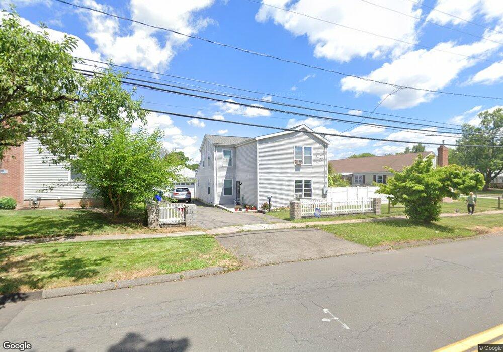
550 Nott St Wethersfield, CT 06109
Estimated Value: $345,000 - $407,000
2
Beds
1
Bath
2,036
Sq Ft
$183/Sq Ft
Est. Value
About This Home
This home is located at 550 Nott St, Wethersfield, CT 06109 and is currently estimated at $373,602, approximately $183 per square foot. 550 Nott St is a home located in Hartford County with nearby schools including Emerson-Williams School, Silas Deane Middle School, and Wethersfield High School.
Ownership History
Date
Name
Owned For
Owner Type
Purchase Details
Closed on
Feb 17, 2010
Sold by
Aukstolis Carmela
Bought by
Bejte Dritan
Current Estimated Value
Home Financials for this Owner
Home Financials are based on the most recent Mortgage that was taken out on this home.
Original Mortgage
$117,623
Interest Rate
4.87%
Mortgage Type
FHA
Create a Home Valuation Report for This Property
The Home Valuation Report is an in-depth analysis detailing your home's value as well as a comparison with similar homes in the area
Home Values in the Area
Average Home Value in this Area
Purchase History
| Date | Buyer | Sale Price | Title Company |
|---|---|---|---|
| Bejte Dritan | $105,000 | -- |
Source: Public Records
Mortgage History
| Date | Status | Borrower | Loan Amount |
|---|---|---|---|
| Open | Bejte Dritan | $83,600 | |
| Closed | Bejte Dritan | $120,000 | |
| Closed | Bejte Dritan | $117,623 |
Source: Public Records
Tax History
| Year | Tax Paid | Tax Assessment Tax Assessment Total Assessment is a certain percentage of the fair market value that is determined by local assessors to be the total taxable value of land and additions on the property. | Land | Improvement |
|---|---|---|---|---|
| 2025 | $9,117 | $221,180 | $67,120 | $154,060 |
| 2024 | $6,719 | $155,470 | $60,360 | $95,110 |
| 2023 | $6,496 | $155,470 | $60,360 | $95,110 |
| 2022 | $6,387 | $155,470 | $60,360 | $95,110 |
| 2021 | $6,323 | $155,470 | $60,360 | $95,110 |
| 2020 | $6,326 | $155,470 | $60,360 | $95,110 |
| 2019 | $6,334 | $155,470 | $60,360 | $95,110 |
| 2018 | $6,386 | $156,600 | $55,600 | $101,000 |
| 2017 | $6,228 | $156,600 | $55,600 | $101,000 |
| 2016 | $6,035 | $156,600 | $55,600 | $101,000 |
| 2015 | $5,981 | $156,600 | $55,600 | $101,000 |
| 2014 | $5,753 | $156,600 | $55,600 | $101,000 |
Source: Public Records
Map
Nearby Homes
- 97 Brussels Ave
- 19 Albert Ave
- 72 Concord Cir
- 116 Wells Farm Dr
- 1310 Berlin Turnpike Unit 223
- 273 Forest Dr
- 173 Timber Trail
- 20 Forest Dr
- 47 Forest Dr
- 219 Jordan Ln Unit 221
- 90 Goodwin Park Rd
- 70 Stillman Rd
- 168 Hubbard Rd
- 19 Tanner Crossing Unit 19
- 12 Bates Place
- 87 Somerset St
- 18 Avalon Place
- 104 Willow St
- 91 Somerset St
- 704 Franklin Ave
Your Personal Tour Guide
Ask me questions while you tour the home.