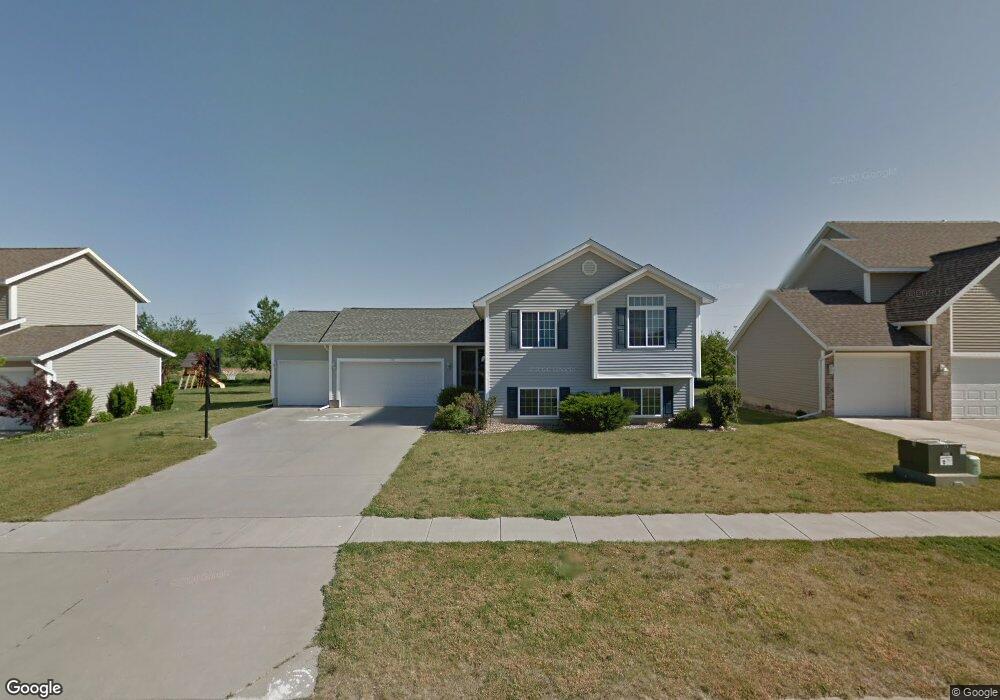
550 W Williams Dr Marion, IA 52302
Estimated Value: $277,000 - $324,000
3
Beds
2
Baths
1,249
Sq Ft
$241/Sq Ft
Est. Value
About This Home
This home is located at 550 W Williams Dr, Marion, IA 52302 and is currently estimated at $301,360, approximately $241 per square foot. 550 W Williams Dr is a home located in Linn County with nearby schools including Echo Hill Elementary School, Oak Ridge School, and Linn-Mar High School.
Ownership History
Date
Name
Owned For
Owner Type
Purchase Details
Closed on
Apr 17, 2007
Sold by
Jerrys Homes Inc
Bought by
Brandt Michael J and Brandt Rhonda K
Current Estimated Value
Home Financials for this Owner
Home Financials are based on the most recent Mortgage that was taken out on this home.
Original Mortgage
$172,000
Outstanding Balance
$104,167
Interest Rate
6.18%
Mortgage Type
Purchase Money Mortgage
Estimated Equity
$197,193
Create a Home Valuation Report for This Property
The Home Valuation Report is an in-depth analysis detailing your home's value as well as a comparison with similar homes in the area
Home Values in the Area
Average Home Value in this Area
Purchase History
| Date | Buyer | Sale Price | Title Company |
|---|---|---|---|
| Brandt Michael J | $179,500 | None Available |
Source: Public Records
Mortgage History
| Date | Status | Borrower | Loan Amount |
|---|---|---|---|
| Open | Brandt Michael J | $172,000 |
Source: Public Records
Tax History Compared to Growth
Tax History
| Year | Tax Paid | Tax Assessment Tax Assessment Total Assessment is a certain percentage of the fair market value that is determined by local assessors to be the total taxable value of land and additions on the property. | Land | Improvement |
|---|---|---|---|---|
| 2025 | $5,048 | $291,600 | $37,800 | $253,800 |
| 2024 | $4,892 | $278,900 | $37,800 | $241,100 |
| 2023 | $4,892 | $278,900 | $37,800 | $241,100 |
| 2022 | $4,660 | $229,300 | $37,800 | $191,500 |
| 2021 | $4,292 | $229,300 | $37,800 | $191,500 |
| 2020 | $4,292 | $198,300 | $37,800 | $160,500 |
| 2019 | $4,092 | $189,900 | $42,000 | $147,900 |
| 2018 | $3,930 | $189,900 | $42,000 | $147,900 |
| 2017 | $4,000 | $188,600 | $42,000 | $146,600 |
| 2016 | $3,980 | $184,400 | $37,800 | $146,600 |
| 2015 | $3,965 | $184,400 | $37,800 | $146,600 |
| 2014 | $3,778 | $184,400 | $37,800 | $146,600 |
| 2013 | $3,604 | $184,400 | $37,800 | $146,600 |
Source: Public Records
Map
Nearby Homes
- 369 Bent Creek Dr
- 214 Williams Dr
- 157 Bent Creek Dr
- 770 Oak Park Cir
- 3487 Newcastle Rd
- 0 Tower Terr Rd 3rd St 3 71ac Unit 202402142
- 290 W 33rd Ave
- 5321 Silver Rock Dr
- 0 Tower Terr Rd 3rd St 2 71ac Unit 202402141
- 1150 Bedford Ct
- 420 Woodbine Dr
- 0 Tower Terr Rd 3rd St 1ac Unit 202402140
- 8800 Zeppelin Ave
- 5396 Silver Rock Dr
- 5760 Hertz Dr
- 764 Hampshire Cir
- 2654 Mulberry Ct
- 786 Hampshire Cir
- 219 Mccarran Ave NE
- 820 Hampshire Cir
- 580 W Williams Dr
- 540 W Williams Dr
- 600 W Williams Dr
- 520 W Williams Dr
- 4092 Kinderhook Ln
- 630 W Williams Dr
- 585 W Williams Dr
- 500 W Williams Dr
- 555 W Williams Dr
- 605 W Williams Dr
- 4082 Kinderhook Ln
- 635 W Williams Dr
- 660 W Williams Dr
- 480 W Williams Dr
- 4072 Kinderhook Ln
- 485 W Williams Dr
- 665 W Williams Dr
- 690 W Williams Dr
- 460 W Williams Dr
- 620 Saddleback Rd