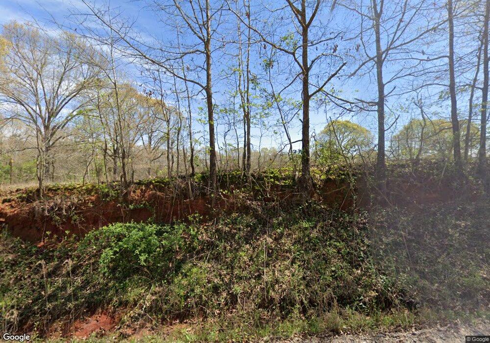
Estimated Value: $277,000 - $843,000
3
Beds
2
Baths
2,152
Sq Ft
$229/Sq Ft
Est. Value
About This Home
This home is located at 5501 Clarks Bridge Rd, Avera, GA 30803 and is currently estimated at $492,904, approximately $229 per square foot. 5501 Clarks Bridge Rd is a home located in Jefferson County with nearby schools including Jefferson County High School.
Ownership History
Date
Name
Owned For
Owner Type
Purchase Details
Closed on
Oct 6, 2017
Sold by
Keith R
Bought by
Ward Keith R and Ward Valerie G
Current Estimated Value
Purchase Details
Closed on
Dec 12, 2013
Sold by
Suggs Ronald W
Bought by
Ward Keith R
Purchase Details
Closed on
May 15, 2013
Sold by
Regions Bank
Bought by
Suggs Ronald W and Suggs Wanda
Purchase Details
Closed on
Apr 26, 2013
Sold by
Suggs Ronald W
Bought by
Ward Keith R
Purchase Details
Closed on
Jun 30, 2011
Sold by
Burnett Herman L
Bought by
Suggs Ronald W and Suggs Wanda
Home Financials for this Owner
Home Financials are based on the most recent Mortgage that was taken out on this home.
Original Mortgage
$275,925
Interest Rate
4.57%
Mortgage Type
VA
Purchase Details
Closed on
Dec 2, 2005
Sold by
Moore Michael G
Bought by
Burnett Herman L and Burnett Linda J
Create a Home Valuation Report for This Property
The Home Valuation Report is an in-depth analysis detailing your home's value as well as a comparison with similar homes in the area
Purchase History
| Date | Buyer | Sale Price | Title Company |
|---|---|---|---|
| Ward Keith R | -- | -- | |
| Ward Keith R | $170,000 | -- | |
| Suggs Ronald W | -- | -- | |
| Ward Keith R | $87,580 | -- | |
| Suggs Ronald W | $285,000 | -- | |
| Burnett Herman L | $152,250 | -- |
Source: Public Records
Mortgage History
| Date | Status | Borrower | Loan Amount |
|---|---|---|---|
| Previous Owner | Suggs Ronald W | $275,925 |
Source: Public Records
Tax History Compared to Growth
Tax History
| Year | Tax Paid | Tax Assessment Tax Assessment Total Assessment is a certain percentage of the fair market value that is determined by local assessors to be the total taxable value of land and additions on the property. | Land | Improvement |
|---|---|---|---|---|
| 2025 | $3,753 | $117,916 | $13,266 | $104,650 |
| 2024 | $3,204 | $109,045 | $11,535 | $97,510 |
| 2023 | $3,180 | $103,694 | $14,074 | $89,620 |
| 2022 | $2,773 | $91,397 | $14,074 | $77,323 |
| 2021 | $2,833 | $87,987 | $11,728 | $76,259 |
| 2020 | $2,822 | $87,484 | $11,728 | $75,756 |
| 2019 | $2,820 | $86,016 | $11,728 | $74,288 |
| 2018 | $2,802 | $83,752 | $11,142 | $72,610 |
| 2017 | $2,275 | $72,243 | $10,555 | $61,688 |
| 2016 | $2,018 | $71,074 | $11,142 | $59,932 |
| 2015 | -- | $70,656 | $11,728 | $58,928 |
| 2014 | -- | $71,233 | $11,728 | $59,505 |
| 2013 | -- | $96,984 | $33,454 | $63,530 |
Source: Public Records
Map
Nearby Homes
- 2023 Gamble School Rd
- 2 Stone Springfield Church Rd
- 3 Stone Springfield Church Rd
- 15094 Clarks Mill Rd
- 1289 Brittany St
- 1171 Main St
- 1192 Evergreen Ln
- 10132 Clarks Mill Rd
- 10199 Ga Highway 296
- 9447 Clarks Mill Rd
- Lot 32 Stapleton Acres Dr
- 3275 Hadden Pond Rd
- 5356 W Able St
- LOT 6 Triangle Rd
- 0 Highway 296 Unit 545709
- 169 E Sheppard St
- 218 E Sheppard St
- 0 Georgia 88
- 3191 Gene Howard Rd
- 0 Lampp Rd
- 4195 Gamble Mill Rd
- 4205 Gamble Mill Rd
- 4225 Gamble Mill Rd
- 5248 Clarks Bridge Rd
- 0 Clarks Bridge Rd
- 5200 Clarks Bridge Rd
- 4133 Gamble Mill Rd
- 4274 Gamble Mill Rd
- 4055 Gamble Mill Rd
- 5150 Clarks Bridge Rd
- 4552 Gamble Mill Rd
- 5100 Clarks Bridge Rd
- 4050 Gamble Mill Rd
- 4480 Gamble Mill Rd
- 7641 Ga Highway 88 W
- 7867 Ga Highway 88 W
- 7101 Ga Highway 88 W
- 6474 Highway 88 W
- 6871 Ga Highway 88 W
- 00 Highway 88
