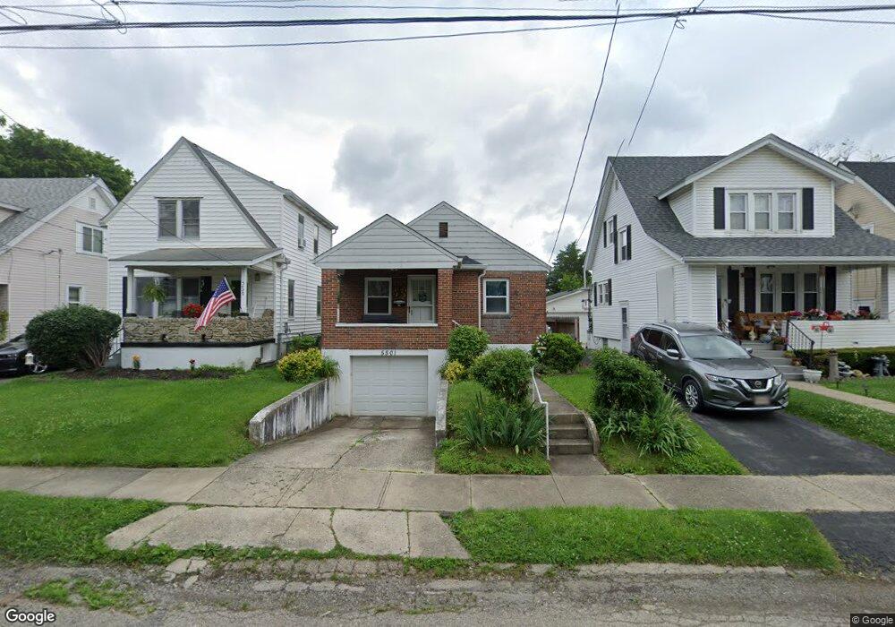
5501 Warren Ave Cincinnati, OH 45212
Estimated Value: $150,346 - $173,000
About This Home
This home is located at 5501 Warren Ave, Cincinnati, OH 45212 and is currently estimated at $158,837, approximately $187 per square foot. 5501 Warren Ave is a home located in Hamilton County with nearby schools including Norwood High School, Summit Academy Community School - Cincinnati, and Horizon Science Academy-Cincinnati.
Ownership History
We collect this data history from publicly available records. To have your information removed, we recommend requesting removal directly through your county’s website.
Purchase Details
Home Financials for this Owner
Home Financials are based on the most recent Mortgage that was taken out on this home.Purchase Details
Home Financials for this Owner
Home Financials are based on the most recent Mortgage that was taken out on this home.Home Values in the Area
Average Home Value in this Area
Purchase History
We collect this data history from publicly available records. To have your information removed, we recommend requesting removal directly through your county’s website.
| Date | Buyer | Sale Price | Title Company |
|---|---|---|---|
| $68,900 | -- | ||
| -- | -- |
Mortgage History
We collect this data history from publicly available records. To have your information removed, we recommend requesting removal directly through your county’s website.
| Date | Status | Borrower | Loan Amount |
|---|---|---|---|
| Open | $68,500 | ||
| Previous Owner | $43,200 |
Tax History
We collect this data history from publicly available records. To have your information removed, we recommend requesting removal directly through your county’s website.
| Year | Tax Paid | Tax Assessment Tax Assessment Total Assessment is a certain percentage of the fair market value that is determined by local assessors to be the total taxable value of land and additions on the property. | Land | Improvement |
|---|---|---|---|---|
| 2025 | $1,285 | $34,854 | $9,125 | $25,729 |
| 2024 | $1,759 | $34,854 | $9,125 | $25,729 |
| 2023 | $1,806 | $34,854 | $9,125 | $25,729 |
| 2022 | $1,619 | $26,219 | $6,916 | $19,303 |
| 2021 | $1,566 | $26,219 | $6,916 | $19,303 |
| 2020 | $1,571 | $26,219 | $6,916 | $19,303 |
| 2019 | $1,493 | $22,999 | $6,066 | $16,933 |
| 2018 | $1,495 | $22,999 | $6,066 | $16,933 |
| 2017 | $1,414 | $22,999 | $6,066 | $16,933 |
| 2016 | $1,535 | $24,168 | $5,702 | $18,466 |
| 2015 | $1,364 | $24,168 | $5,702 | $18,466 |
| 2014 | $1,365 | $24,168 | $5,702 | $18,466 |
| 2013 | $1,436 | $25,712 | $6,066 | $19,646 |
Map
- 5437 Rolston Ave
- 5419 Rolston Ave
- 2011 Dale Rd
- 5605 Rhode Island Ave
- 5405 Carthage Ave
- 5338 Section Ave
- 5321 Warren Ave
- 2128 Glenside Ave
- 5314 Section Ave
- 5730 Carthage Ave
- 5258 Hunter Ave
- 2169 Glenside Ave
- 5315 Carthage Ave
- 5234 Hunter Ave
- 1843 Northcutt Ave
- 2213 Quatman Ave
- 5229 Globe Ave
- 2130 Feldman Ave
- 2225 Glenside Ave
- 1818 Dalewood Place
- 5439 Rolston Ave
- 5435 Rolston Ave
- 5443 Rolston Ave
- 5433 Rolston Ave
- 5447 Rolston Ave
- 5506 Warren Ave
- 5431 Rolston Ave
- 5502 Warren Ave
- 5510 Warren Ave
- 5451 Rolston Ave
- 5427 Rolston Ave
- 5512 Warren Ave
- 5428 Warren Ave
- 5436 Rolston Ave
- 5434 Rolston Ave
- 5438 Rolston Ave
- 5514 Warren Ave
- 5444 Rolston Ave
- 5423 Rolston Ave
- 5426 Warren Ave
Ask me questions while you tour the home.