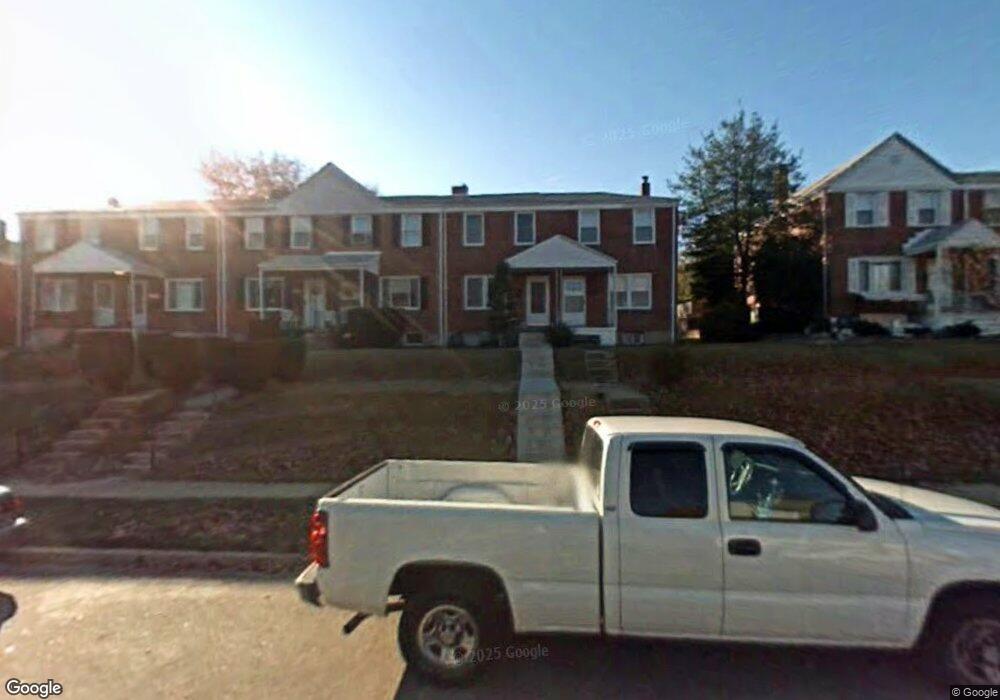
5502 Oakland Rd Halethorpe, MD 21227
Estimated Value: $223,705 - $260,000
Studio
1
Bath
1,024
Sq Ft
$238/Sq Ft
Est. Value
About This Home
This home is located at 5502 Oakland Rd, Halethorpe, MD 21227 and is currently estimated at $243,926, approximately $238 per square foot. 5502 Oakland Rd is a home located in Baltimore County with nearby schools including Arbutus Elementary School, Arbutus Middle School, and Lansdowne High School.
Ownership History
Date
Name
Owned For
Owner Type
Purchase Details
Closed on
Jun 30, 2022
Sold by
Wade Jr Joseph F
Bought by
Segura Emma D
Current Estimated Value
Home Financials for this Owner
Home Financials are based on the most recent Mortgage that was taken out on this home.
Original Mortgage
$191,468
Interest Rate
5%
Mortgage Type
FHA
Purchase Details
Closed on
Jun 11, 1990
Sold by
Grybe Adele
Bought by
Wade Joseph F and Wade Regina A
Create a Home Valuation Report for This Property
The Home Valuation Report is an in-depth analysis detailing your home's value as well as a comparison with similar homes in the area
Home Values in the Area
Average Home Value in this Area
Purchase History
| Date | Buyer | Sale Price | Title Company |
|---|---|---|---|
| Segura Emma D | $195,000 | None Listed On Document | |
| Wade Joseph F | $80,500 | -- |
Source: Public Records
Mortgage History
| Date | Status | Borrower | Loan Amount |
|---|---|---|---|
| Previous Owner | Segura Emma D | $191,468 |
Source: Public Records
Tax History
| Year | Tax Paid | Tax Assessment Tax Assessment Total Assessment is a certain percentage of the fair market value that is determined by local assessors to be the total taxable value of land and additions on the property. | Land | Improvement |
|---|---|---|---|---|
| 2025 | $1,189 | $179,767 | -- | -- |
| 2024 | $1,189 | $169,200 | $55,800 | $113,400 |
| 2023 | $1,190 | $165,400 | $0 | $0 |
| 2022 | $2,637 | $161,600 | $0 | $0 |
| 2021 | $1,305 | $157,800 | $55,800 | $102,000 |
| 2020 | $1,858 | $153,333 | $0 | $0 |
| 2019 | $1,804 | $148,867 | $0 | $0 |
| 2018 | $2,374 | $144,400 | $55,800 | $88,600 |
| 2017 | $2,478 | $140,333 | $0 | $0 |
| 2016 | $2,419 | $136,267 | $0 | $0 |
| 2015 | $2,419 | $132,200 | $0 | $0 |
| 2014 | $2,419 | $132,200 | $0 | $0 |
Source: Public Records
Map
Nearby Homes
- 1207 Brewster St
- 5522 Ashbourne Rd
- 5402 Council St
- 5521 Willys Ave
- 1204 Birch Ave
- 1211 Poplar Ave
- 1328 Stevens Ave
- 1416 Sulphur Spring Rd
- 1078 Downton Rd
- 5605 Oregon Ave
- 1258 Linden Ave
- 1027 Downton Rd
- 1015 Stormont Cir
- 933 Elm Rd
- 927 Grovehill Rd
- 1212 Seven Oaks Rd
- 901 Grovehill Rd
- 0 Dewitt Rd
- 4606 Ridge Ave
- 4412 Maple Ave
- 5504 Oakland Rd
- 5500 Oakland Rd
- 5506 Oakland Rd
- 5498 Oakland Rd
- 5508 Oakland Rd
- 5496 Oakland Rd
- 5510 Oakland Rd
- 5494 Oakland Rd
- 5512 Oakland Rd
- 5492 Oakland Rd
- 5514 Oakland Rd
- 5490 Oakland Rd
- 5517 Council St
- 5519 Council St
- 5521 Council St
- 5515 Council St
- 5516 Oakland Rd
- 5513 Council St
- 5525 Council St
- 5511 Council St
Your Personal Tour Guide
Ask me questions while you tour the home.