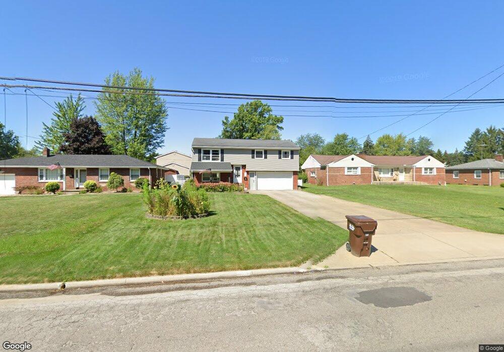
5502 Sheridan Rd Youngstown, OH 44514
Estimated Value: $163,265 - $200,000
4
Beds
2
Baths
1,676
Sq Ft
$111/Sq Ft
Est. Value
About This Home
This home is located at 5502 Sheridan Rd, Youngstown, OH 44514 and is currently estimated at $186,316, approximately $111 per square foot. 5502 Sheridan Rd is a home located in Mahoning County with nearby schools including Poland Union Elementary School, Poland Middle School, and Poland Seminary High School.
Ownership History
Date
Name
Owned For
Owner Type
Purchase Details
Closed on
Apr 9, 1997
Sold by
Potts Mary L
Bought by
Harwell Larry and Harwell Susan M
Current Estimated Value
Home Financials for this Owner
Home Financials are based on the most recent Mortgage that was taken out on this home.
Original Mortgage
$43,000
Outstanding Balance
$5,487
Interest Rate
7.74%
Mortgage Type
New Conventional
Estimated Equity
$180,829
Purchase Details
Closed on
Mar 20, 1987
Bought by
Lattanzio Michael J
Create a Home Valuation Report for This Property
The Home Valuation Report is an in-depth analysis detailing your home's value as well as a comparison with similar homes in the area
Home Values in the Area
Average Home Value in this Area
Purchase History
| Date | Buyer | Sale Price | Title Company |
|---|---|---|---|
| Harwell Larry | $50,000 | -- | |
| Lattanzio Michael J | -- | -- |
Source: Public Records
Mortgage History
| Date | Status | Borrower | Loan Amount |
|---|---|---|---|
| Open | Harwell Larry | $43,000 |
Source: Public Records
Tax History Compared to Growth
Tax History
| Year | Tax Paid | Tax Assessment Tax Assessment Total Assessment is a certain percentage of the fair market value that is determined by local assessors to be the total taxable value of land and additions on the property. | Land | Improvement |
|---|---|---|---|---|
| 2024 | $2,069 | $39,960 | $5,240 | $34,720 |
| 2023 | $2,044 | $39,960 | $5,240 | $34,720 |
| 2022 | $1,620 | $26,250 | $5,090 | $21,160 |
| 2021 | $1,623 | $26,250 | $5,090 | $21,160 |
| 2020 | $1,629 | $26,250 | $5,090 | $21,160 |
| 2019 | $1,558 | $22,630 | $4,390 | $18,240 |
| 2018 | $1,470 | $22,630 | $4,390 | $18,240 |
| 2017 | $1,520 | $22,630 | $4,390 | $18,240 |
| 2016 | $1,595 | $23,970 | $5,370 | $18,600 |
| 2015 | $1,565 | $23,970 | $5,370 | $18,600 |
| 2014 | $1,570 | $23,970 | $5,370 | $18,600 |
| 2013 | $1,552 | $23,970 | $5,370 | $18,600 |
Source: Public Records
Map
Nearby Homes
- 0 Oles Ave
- 1919 Wingate Rd
- 0 Woodlawn Ave
- 1841 Wingate Rd
- 1890 Mathews Rd
- 1830 Halbert Dr
- 5710 Youngstown Poland Rd
- 1828 Basil Ave
- 1933 Brandon Ave
- 1894 Lealand Ave
- 0 Mathews Rd Unit 5149232
- 0 Mathews Rd Unit 5143059
- 2089 Shetland Ln
- 2035 Woodward Ave
- 0 Lemoyne Ave
- 1720 Sequoya Dr
- 576 W Harvey St
- 2128 Lyon Blvd
- 1913 Country Club Ave
- 2153 Lyon Blvd
- 5522 Sheridan Rd
- 5426 Sheridan Rd
- 1894 Woodlawn Ave
- 5416 Sheridan Rd
- 1890 Woodlawn Ave
- 5666 Sheridan Rd
- 1886 Woodlawn Ave
- 5435 Sheridan Rd
- 5410 Sheridan Rd
- 1895 Woodlawn Ave
- 5674 Sheridan Rd
- 1889 Wingate Rd
- 1891 Woodlawn Ave
- 5425 Sheridan Rd
- 1878 Woodlawn Ave
- 1887 Woodlawn Ave
- 1895 Wingate Rd
- 1883 Wingate Rd
- 1883 Woodlawn Ave
- 5352 Sheridan Rd