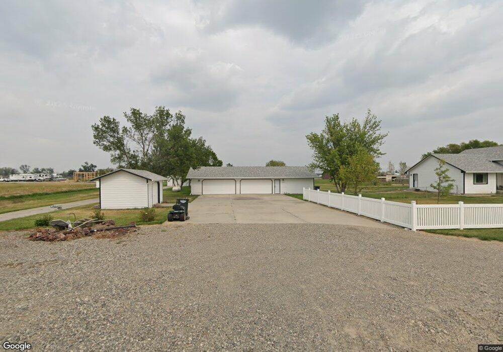
5505 Lester Ln Shepherd, MT 59079
Estimated Value: $495,000 - $627,000
4
Beds
2
Baths
2,336
Sq Ft
$235/Sq Ft
Est. Value
About This Home
This home is located at 5505 Lester Ln, Shepherd, MT 59079 and is currently estimated at $548,714, approximately $234 per square foot. 5505 Lester Ln is a home located in Yellowstone County with nearby schools including Shepherd Elementary School, Shepherd Middle School, and Shepherd High School.
Ownership History
Date
Name
Owned For
Owner Type
Purchase Details
Closed on
Apr 9, 2021
Sold by
Robinson Ernest L and Robinson Vickie M
Bought by
Packard Dalton G and Packard Brittany J
Current Estimated Value
Home Financials for this Owner
Home Financials are based on the most recent Mortgage that was taken out on this home.
Original Mortgage
$335,920
Outstanding Balance
$301,471
Interest Rate
2.9%
Mortgage Type
New Conventional
Estimated Equity
$247,243
Purchase Details
Closed on
Oct 29, 2020
Sold by
Trails West Homes Llc
Bought by
Robinson Ernest L and Robinson Vickie M
Home Financials for this Owner
Home Financials are based on the most recent Mortgage that was taken out on this home.
Original Mortgage
$360,500
Interest Rate
2.8%
Mortgage Type
New Conventional
Create a Home Valuation Report for This Property
The Home Valuation Report is an in-depth analysis detailing your home's value as well as a comparison with similar homes in the area
Home Values in the Area
Average Home Value in this Area
Purchase History
| Date | Buyer | Sale Price | Title Company |
|---|---|---|---|
| Packard Dalton G | -- | First American Title Company | |
| Robinson Ernest L | -- | None Listed On Document |
Source: Public Records
Mortgage History
| Date | Status | Borrower | Loan Amount |
|---|---|---|---|
| Open | Packard Dalton G | $335,920 | |
| Previous Owner | Robinson Ernest L | $360,500 |
Source: Public Records
Tax History Compared to Growth
Tax History
| Year | Tax Paid | Tax Assessment Tax Assessment Total Assessment is a certain percentage of the fair market value that is determined by local assessors to be the total taxable value of land and additions on the property. | Land | Improvement |
|---|---|---|---|---|
| 2025 | $3,959 | $529,632 | $91,102 | $438,530 |
| 2024 | $3,959 | $463,256 | $69,906 | $393,350 |
| 2023 | $4,028 | $463,256 | $69,906 | $393,350 |
| 2022 | $3,699 | $379,355 | $54,355 | $325,000 |
| 2021 | $2,440 | $246,600 | $0 | $0 |
| 2020 | $2,323 | $226,500 | $0 | $0 |
| 2019 | $1,930 | $226,500 | $0 | $0 |
| 2018 | $1,983 | $219,300 | $0 | $0 |
| 2017 | $1,946 | $219,300 | $0 | $0 |
| 2016 | $1,843 | $216,600 | $0 | $0 |
| 2015 | $1,834 | $216,600 | $0 | $0 |
| 2014 | $1,561 | $98,686 | $0 | $0 |
Source: Public Records
Map
Nearby Homes
- 5840,5850,5904 Lunder Ln
- 6447 US Highway 312
- 5510 Powmer Rd
- 4820 Maribrooke Rd
- 4935 Lewies Way
- 7133 Mustang Rd
- 5358 Yeoman Rd
- 119 Peritse Ave
- 0 Great Northern Unit 354449
- 0000 Florian Ave
- 6634 Killdeer Ln
- 1266 Chipper Ln
- L13B2 High Noon Dr
- L11B3 High Noon Dr
- L11B2 Rio Lobo Cir
- L5B4 Trumbo Cir
- L3B4 Trumbo Cir
- L12B2 High Noon Dr
- L12B3 Molly Dr
- L10B3 High Noon Dr
- 5505 Lester Ln
- 0 Lester Ln
- 5527 Lester Ln
- 5522 Eric Place
- 5535 Lester Ln
- BLK1 LOT3 Eric Place
- BLK1 LOT5 Eric Place
- 5530 Hay Meadow Dr
- 5544 Lester Ln
- 5480 Hay Meadow Dr
- 5520 Eric Place
- 5570 Hay Meadow Dr
- 5740 Shepherd Rd
- 5485 Hay Meadow Dr
- 5525 Hay Meadow Dr
- 7008 Highway 312
- 5731 Shepherd Rd
- 5825 Shepherd Rd E
- 6928 Us Highway 312
- 6928 Us Highway 312