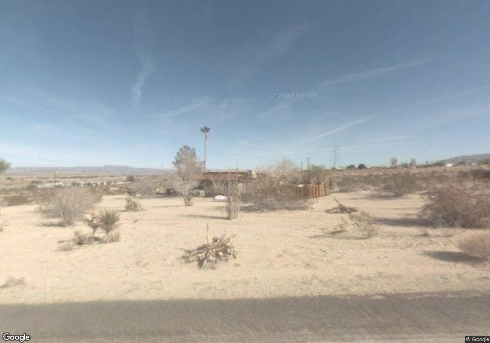
5505 Oasis Ave Twentynine Palms, CA 92277
Estimated Value: $258,000 - $431,000
3
Beds
3
Baths
1,965
Sq Ft
$186/Sq Ft
Est. Value
About This Home
This home is located at 5505 Oasis Ave, Twentynine Palms, CA 92277 and is currently estimated at $366,022, approximately $186 per square foot. 5505 Oasis Ave is a home located in San Bernardino County with nearby schools including Oasis Elementary School, Twentynine Palms Junior High School, and Twentynine Palms High School.
Ownership History
Date
Name
Owned For
Owner Type
Purchase Details
Closed on
May 12, 1999
Sold by
Petre James E
Bought by
Lawson Randy and Lawson Molly
Current Estimated Value
Home Financials for this Owner
Home Financials are based on the most recent Mortgage that was taken out on this home.
Original Mortgage
$122,570
Outstanding Balance
$31,303
Interest Rate
6.9%
Mortgage Type
VA
Estimated Equity
$334,719
Create a Home Valuation Report for This Property
The Home Valuation Report is an in-depth analysis detailing your home's value as well as a comparison with similar homes in the area
Home Values in the Area
Average Home Value in this Area
Purchase History
| Date | Buyer | Sale Price | Title Company |
|---|---|---|---|
| Lawson Randy | $119,000 | Fidelity National Title |
Source: Public Records
Mortgage History
| Date | Status | Borrower | Loan Amount |
|---|---|---|---|
| Open | Lawson Randy | $122,570 |
Source: Public Records
Tax History Compared to Growth
Tax History
| Year | Tax Paid | Tax Assessment Tax Assessment Total Assessment is a certain percentage of the fair market value that is determined by local assessors to be the total taxable value of land and additions on the property. | Land | Improvement |
|---|---|---|---|---|
| 2025 | $2,387 | $186,565 | $18,661 | $167,904 |
| 2024 | $2,387 | $182,907 | $18,295 | $164,612 |
| 2023 | $2,308 | $179,320 | $17,936 | $161,384 |
| 2022 | $2,255 | $175,804 | $17,584 | $158,220 |
| 2021 | $2,227 | $172,357 | $17,239 | $155,118 |
| 2020 | $2,204 | $170,589 | $17,062 | $153,527 |
| 2019 | $2,147 | $167,244 | $16,727 | $150,517 |
| 2018 | $2,095 | $163,965 | $16,399 | $147,566 |
| 2017 | $2,069 | $160,750 | $16,077 | $144,673 |
| 2016 | $2,030 | $157,598 | $15,762 | $141,836 |
| 2015 | $1,921 | $155,230 | $15,525 | $139,705 |
| 2014 | $1,908 | $152,189 | $15,221 | $136,968 |
Source: Public Records
Map
Nearby Homes
- 1234 Homestead Dr
- 73369 Corbin Rd
- 73459 2 Mile Rd
- 73484 Desert Trail Dr
- 73514 Desert Trail Dr
- 73255 Two Mile Rd
- 5172 Verenda Ave
- 5778 Bagley Ave
- 1234 Skyview Ln
- 73562 Desert Trail Dr
- 6549 Bullion Ave
- 6551 Bullion Ave
- 5154 Split Rock Ave
- 0 Adobe Rd Unit JT25226485
- 0 Adobe Rd Unit JT25248403
- 0 Adobe Rd Unit JT24164012
- 0 Adobe Rd Unit JT25262515
- 0 Adobe Rd Unit JT24164064
- 0 Adobe Rd Unit 219137764DA
- 0 Adobe Rd Unit JT24003468
- 5543 Oasis Ave
- 5480 Oasis Ave
- 5475 Oasis Ave
- 5544 Oasis Ave
- 5490 Oasis Ave
- 5595 Oasis Ave
- 5075 Oasis Ave
- 5594 Oasis Ave
- 5605 Oasis Ave
- 73397 Manana Dr
- 73422 Homestead Dr
- 5668 Oasis Ave
- 73485 Homestead Dr
- 5690 Oasis Ave
- 73424 Two Mile Rd
- 73430 Two Mile Rd
- 0 Oasis Ave Unit DC14202535
- 0 Oasis Ave Unit DC14203861
- 0 Oasis Ave Unit JT15194679
- 0 Oasis Ave Unit JT15195519
