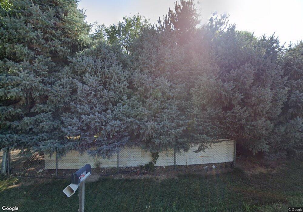
5507 War Eagle Rd Caldwell, ID 83607
Estimated Value: $219,835 - $257,000
2
Beds
1
Bath
1,124
Sq Ft
$212/Sq Ft
Est. Value
About This Home
This home is located at 5507 War Eagle Rd, Caldwell, ID 83607 and is currently estimated at $238,418, approximately $212 per square foot. 5507 War Eagle Rd is a home located in Canyon County with nearby schools including Skyway Elementary, Vallivue Middle School, and Vallivue High School.
Ownership History
Date
Name
Owned For
Owner Type
Purchase Details
Closed on
Jun 21, 2024
Sold by
Gonzalez Jenney Rayes
Bought by
Ma Guadalupe
Current Estimated Value
Purchase Details
Closed on
Sep 11, 2017
Sold by
Arredondo Sandy
Bought by
Barron Ma Guadalupe Rivera
Purchase Details
Closed on
Jun 11, 2012
Sold by
Arredondo Sandy
Bought by
Arredondo Sandy and Robles Jennely Arredondo
Purchase Details
Closed on
Oct 20, 2009
Sold by
Gisel Pamela and Todd Roxana
Bought by
Arredondo Sandy
Home Financials for this Owner
Home Financials are based on the most recent Mortgage that was taken out on this home.
Original Mortgage
$57,750
Interest Rate
5.02%
Mortgage Type
Purchase Money Mortgage
Create a Home Valuation Report for This Property
The Home Valuation Report is an in-depth analysis detailing your home's value as well as a comparison with similar homes in the area
Home Values in the Area
Average Home Value in this Area
Purchase History
| Date | Buyer | Sale Price | Title Company |
|---|---|---|---|
| Ma Guadalupe | -- | None Listed On Document | |
| Barron Ma Guadalupe Rivera | -- | None Available | |
| Arredondo Sandy | -- | Pioneer Title Canyon Ca | |
| Arredondo Sandy | -- | Pioneer Title Co | |
| Arredondo Sandy | -- | Pioneer Title Co |
Source: Public Records
Mortgage History
| Date | Status | Borrower | Loan Amount |
|---|---|---|---|
| Previous Owner | Arredondo Sandy | $57,750 |
Source: Public Records
Tax History
| Year | Tax Paid | Tax Assessment Tax Assessment Total Assessment is a certain percentage of the fair market value that is determined by local assessors to be the total taxable value of land and additions on the property. | Land | Improvement |
|---|---|---|---|---|
| 2025 | $977 | $171,500 | $158,600 | $12,900 |
| 2024 | $977 | $171,500 | $158,600 | $12,900 |
| 2023 | $1,041 | $171,500 | $158,600 | $12,900 |
| 2022 | $1,582 | $190,800 | $178,000 | $12,800 |
| 2021 | $1,423 | $110,500 | $99,000 | $11,500 |
| 2020 | $1,013 | $65,100 | $64,400 | $700 |
| 2019 | $1,125 | $0 | $0 | $0 |
| 2018 | $840 | $0 | $0 | $0 |
| 2017 | $624 | $0 | $0 | $0 |
| 2016 | $553 | $0 | $0 | $0 |
| 2015 | $571 | $0 | $0 | $0 |
| 2014 | $569 | $30,100 | $29,500 | $600 |
Source: Public Records
Map
Nearby Homes
- 5212 Nez Perce Rd
- 5200 Midway Rd Unit Trir 20
- 12350 W Amorica
- 4415 Duke St
- 4714 Catherine Ave
- 12452 Shadow River St
- 5712 E Homedale Rd
- 12445 Shadow River St
- 16719 Hopper Ave
- 16919 Abram Ave
- 11842 Wilma Ln
- 4503 Julie St
- 12411 Moss Ln
- 16598 Corrine Ave
- 11041 Moss Ln
- 16586 Corrine Ave
- 11801 W Huckleberry Dr
- 16378 Kelso Way
- 16310 N Asbury Dr
- 23910 Timber Hills Rd
- 5423 War Eagle Rd
- 5505 Lapwai Place
- 5417 Lapwai Place
- 5502 War Eagle Rd
- 5510 War Eagle Rd
- 5518 War Eagle Rd
- 5412 Lapwai Place
- XXX War Eagle
- 4808 Nez Perce Rd
- 5611 War Eagle Rd
- 5405 Lapwai Place
- 5420 War Eagle Rd
- 5622 War Eagle Rd
- 5317 Shoshoni Rd
- 5316 Shoshoni Rd
- 5408 War Eagle Rd
- 5005 E Homedale Rd
- 5504 Silver Place
- 5324 War Eagle Rd
- 4925 Nez Perce Rd
Your Personal Tour Guide
Ask me questions while you tour the home.