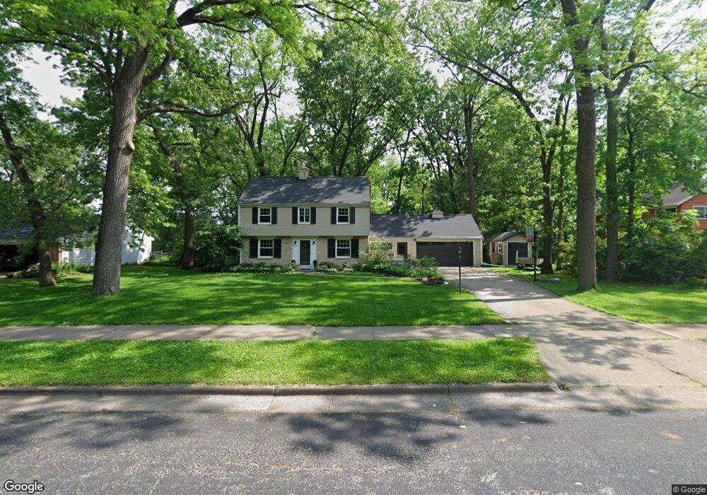
5509 Barton Rd Madison, WI 53711
Orchard Ridge NeighborhoodEstimated Value: $487,000 - $545,000
4
Beds
2
Baths
1,647
Sq Ft
$313/Sq Ft
Est. Value
About This Home
This home is located at 5509 Barton Rd, Madison, WI 53711 and is currently estimated at $515,282, approximately $312 per square foot. 5509 Barton Rd is a home located in Dane County with nearby schools including Orchard Ridge Elementary School, Toki Middle School, and Vel Phillips Memorial High School.
Ownership History
Date
Name
Owned For
Owner Type
Purchase Details
Closed on
Sep 26, 2008
Sold by
Tye Matthew M and Tye Catherine E
Bought by
Juckem Paul F and Juckem Laura K
Current Estimated Value
Home Financials for this Owner
Home Financials are based on the most recent Mortgage that was taken out on this home.
Original Mortgage
$208,000
Outstanding Balance
$139,242
Interest Rate
6.57%
Mortgage Type
Purchase Money Mortgage
Estimated Equity
$376,040
Create a Home Valuation Report for This Property
The Home Valuation Report is an in-depth analysis detailing your home's value as well as a comparison with similar homes in the area
Home Values in the Area
Average Home Value in this Area
Purchase History
| Date | Buyer | Sale Price | Title Company |
|---|---|---|---|
| Juckem Paul F | $260,000 | Dane County Title Company |
Source: Public Records
Mortgage History
| Date | Status | Borrower | Loan Amount |
|---|---|---|---|
| Open | Juckem Paul F | $208,000 |
Source: Public Records
Tax History Compared to Growth
Tax History
| Year | Tax Paid | Tax Assessment Tax Assessment Total Assessment is a certain percentage of the fair market value that is determined by local assessors to be the total taxable value of land and additions on the property. | Land | Improvement |
|---|---|---|---|---|
| 2024 | $15,805 | $466,300 | $155,500 | $310,800 |
| 2023 | $7,476 | $431,800 | $144,000 | $287,800 |
| 2021 | $6,755 | $332,300 | $110,800 | $221,500 |
| 2020 | $6,872 | $318,000 | $106,000 | $212,000 |
| 2019 | $6,104 | $283,800 | $99,100 | $184,700 |
| 2018 | $5,598 | $260,400 | $90,900 | $169,500 |
| 2017 | $5,625 | $250,400 | $90,900 | $159,500 |
| 2016 | $5,226 | $227,600 | $82,600 | $145,000 |
| 2015 | $5,197 | $214,500 | $79,400 | $135,100 |
| 2014 | $4,988 | $214,500 | $79,400 | $135,100 |
| 2013 | $4,984 | $208,300 | $77,100 | $131,200 |
Source: Public Records
Map
Nearby Homes
- 5517 Dorsett Dr
- 5701 Bartlett Ln
- 2118 Gilbert Rd
- 5726 Hempstead Rd
- 5201 Hammersley Rd
- 5826 Balsam Rd
- 2218 Teal Dr
- 2201 Tawhee Dr
- 1506 Lynndale Rd
- 5837 Suffolk Rd
- 4922 Knox Ln
- 1718 Reetz Rd
- 1417 Reetz Rd
- 6106 Davenport Dr
- 403 Williamsburg Way Ct Unit 403
- 6305-6307 Hammersley Rd
- 6017 Mayhill Dr
- 6210 Davenport Dr
- 2621 Smithfield Dr Unit 3
- 2329 Carling Dr Unit 3
- 5513 Barton Rd
- 5505 Barton Rd
- 5517 Barton Rd
- 5510 Barton Rd
- 5501 Barton Rd
- 5514 Barton Rd
- 5506 Barton Rd
- 5518 Barton Rd
- 5521 Barton Rd
- 5502 Barton Rd
- 5509 Tolman Terrace
- 5522 Barton Rd
- 5513 Tolman Terrace
- 5505 Tolman Terrace
- 5601 Barton Rd
- 5413 Barton Rd
- 5517 Tolman Terrace
- 5501 Tolman Terrace
- 1613 Gilbert Rd
- 5602 Barton Rd