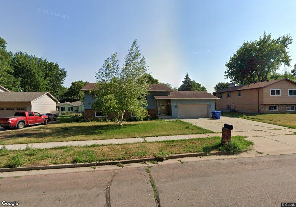
5509 W 51st St Sioux Falls, SD 57106
Southwest Sioux Falls NeighborhoodEstimated Value: $295,000 - $319,000
4
Beds
2
Baths
1,758
Sq Ft
$174/Sq Ft
Est. Value
About This Home
This home is located at 5509 W 51st St, Sioux Falls, SD 57106 and is currently estimated at $305,431, approximately $173 per square foot. 5509 W 51st St is a home located in Minnehaha County with nearby schools including John F. Kennedy Elementary School, Edison Middle School, and Roosevelt High School.
Ownership History
Date
Name
Owned For
Owner Type
Purchase Details
Closed on
Nov 25, 2019
Sold by
Springer Matthew J and Springer Maggie
Bought by
Bultena Paige and Merritt Benjamin
Current Estimated Value
Home Financials for this Owner
Home Financials are based on the most recent Mortgage that was taken out on this home.
Original Mortgage
$189,504
Outstanding Balance
$167,563
Interest Rate
3.75%
Mortgage Type
Stand Alone First
Estimated Equity
$137,868
Purchase Details
Closed on
Sep 21, 2012
Sold by
Don M Don M and Williams Mary Lee
Bought by
Springer Matthew J
Create a Home Valuation Report for This Property
The Home Valuation Report is an in-depth analysis detailing your home's value as well as a comparison with similar homes in the area
Home Values in the Area
Average Home Value in this Area
Purchase History
| Date | Buyer | Sale Price | Title Company |
|---|---|---|---|
| Bultena Paige | $193,000 | None Available | |
| Springer Matthew J | $142,000 | -- |
Source: Public Records
Mortgage History
| Date | Status | Borrower | Loan Amount |
|---|---|---|---|
| Open | Bultena Paige | $189,504 | |
| Closed | Bultena Paige | $189,504 |
Source: Public Records
Tax History Compared to Growth
Tax History
| Year | Tax Paid | Tax Assessment Tax Assessment Total Assessment is a certain percentage of the fair market value that is determined by local assessors to be the total taxable value of land and additions on the property. | Land | Improvement |
|---|---|---|---|---|
| 2024 | $3,513 | $254,300 | $36,000 | $218,300 |
| 2023 | $3,510 | $244,800 | $36,000 | $208,800 |
| 2022 | $3,180 | $208,400 | $36,000 | $172,400 |
| 2021 | $2,865 | $174,600 | $0 | $0 |
| 2020 | $2,865 | $179,700 | $0 | $0 |
| 2019 | $2,738 | $168,448 | $0 | $0 |
| 2018 | $2,537 | $162,008 | $0 | $0 |
| 2017 | $2,331 | $156,642 | $33,200 | $123,442 |
| 2016 | $2,331 | $143,511 | $33,200 | $110,311 |
| 2015 | $2,308 | $136,677 | $33,200 | $103,477 |
| 2014 | $2,203 | $133,855 | $33,320 | $100,535 |
Source: Public Records
Map
Nearby Homes
- 5608 W Bluestem St
- 5805 W 50th St
- 5621 W Bluestem St
- 4504 S Marion Rd
- 4409 S Holbrook Ave
- 4620 S Bluestem Cir
- 6005 W 52nd St
- 5008 W 49th St
- 4009 S Fairhall Ave
- 4200 S Palisade Ln
- 5904 W Elder Dr
- 5000 S Baneberry Ave
- 5102 W Emmitt Cir
- 3909 S Holbrook Ave
- 5109 S Sarmar Ave
- 3809 S Holbrook Ave
- 6309 W Bonnie Ct
- 5705 W 43rd St
- 5301 S Mandy Ave
- 3712 S Terry Ave Unit 103