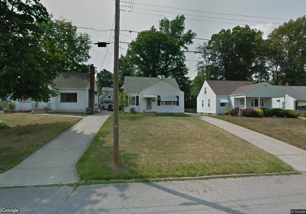
551 Audrey Ln Struthers, OH 44471
Estimated Value: $124,000 - $178,000
2
Beds
2
Baths
1,312
Sq Ft
$115/Sq Ft
Est. Value
About This Home
This home is located at 551 Audrey Ln, Struthers, OH 44471 and is currently estimated at $151,242, approximately $115 per square foot. 551 Audrey Ln is a home located in Mahoning County with nearby schools including Struthers Elementary School, Struthers Middle School, and Struthers High School.
Ownership History
Date
Name
Owned For
Owner Type
Purchase Details
Closed on
Feb 22, 2007
Sold by
Hamrock Ronald
Bought by
Peluso Thomas M
Current Estimated Value
Home Financials for this Owner
Home Financials are based on the most recent Mortgage that was taken out on this home.
Original Mortgage
$61,275
Outstanding Balance
$36,097
Interest Rate
6.23%
Mortgage Type
Purchase Money Mortgage
Estimated Equity
$115,145
Purchase Details
Closed on
Jul 8, 2004
Sold by
Hamrock Edward S
Bought by
Hamrock Ronald
Purchase Details
Closed on
Sep 6, 1985
Bought by
Hamrock Margaret M
Create a Home Valuation Report for This Property
The Home Valuation Report is an in-depth analysis detailing your home's value as well as a comparison with similar homes in the area
Home Values in the Area
Average Home Value in this Area
Purchase History
| Date | Buyer | Sale Price | Title Company |
|---|---|---|---|
| Peluso Thomas M | $64,000 | Reliable Title | |
| Hamrock Ronald | -- | -- | |
| Hamrock Margaret M | -- | -- |
Source: Public Records
Mortgage History
| Date | Status | Borrower | Loan Amount |
|---|---|---|---|
| Open | Peluso Thomas M | $61,275 |
Source: Public Records
Tax History
| Year | Tax Paid | Tax Assessment Tax Assessment Total Assessment is a certain percentage of the fair market value that is determined by local assessors to be the total taxable value of land and additions on the property. | Land | Improvement |
|---|---|---|---|---|
| 2025 | $1,558 | $37,420 | $4,160 | $33,260 |
| 2024 | $1,558 | $37,420 | $4,160 | $33,260 |
| 2023 | $1,532 | $37,420 | $4,160 | $33,260 |
| 2022 | $1,445 | $26,720 | $3,910 | $22,810 |
| 2021 | $1,431 | $26,720 | $3,910 | $22,810 |
| 2020 | $1,438 | $26,720 | $3,910 | $22,810 |
| 2019 | $1,377 | $23,240 | $3,400 | $19,840 |
| 2018 | $1,314 | $23,240 | $3,400 | $19,840 |
| 2017 | $1,371 | $23,240 | $3,400 | $19,840 |
| 2016 | $1,431 | $25,970 | $4,350 | $21,620 |
| 2015 | $1,398 | $25,970 | $4,350 | $21,620 |
| 2014 | $1,403 | $25,970 | $4,350 | $21,620 |
| 2013 | $1,303 | $25,970 | $4,350 | $21,620 |
Source: Public Records
Map
Nearby Homes
- 531 Audrey Ln
- 627 Poland Ave
- 34 Iroquois St
- 0 Smithfield St Unit 4336782
- 59 Harvey St
- 250 E Manor Ave
- 39 Renee Dr
- 1054 Runge Ave
- 31 Eve Dr
- 32 Como St
- 42 Wilson St
- 143 Wilson St
- 34 W Lewis St
- 0 Clingan Rd Unit 4461196
- 15 Katherine St
- 21 Katherine St
- 172 Lakeshore Dr
- 18 E Oakland Blvd
- 453 W Omar St
- 54 Spring St
Your Personal Tour Guide
Ask me questions while you tour the home.