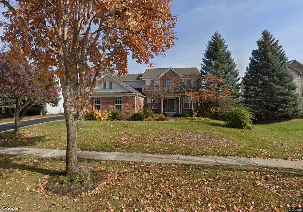
551 Brookside Ave Algonquin, IL 60102
Far West Algonquin NeighborhoodEstimated Value: $493,108 - $627,000
4
Beds
3
Baths
2,480
Sq Ft
$235/Sq Ft
Est. Value
About This Home
This home is located at 551 Brookside Ave, Algonquin, IL 60102 and is currently estimated at $583,777, approximately $235 per square foot. 551 Brookside Ave is a home located in McHenry County with nearby schools including Westfield Community School, Lincoln Prairie Elementary School, and Harry D Jacobs High School.
Ownership History
Date
Name
Owned For
Owner Type
Purchase Details
Closed on
Jul 16, 2002
Sold by
Pulte Homes
Bought by
Blicharski Janusz and Blicharski Janina B
Current Estimated Value
Home Financials for this Owner
Home Financials are based on the most recent Mortgage that was taken out on this home.
Original Mortgage
$60,000
Outstanding Balance
$25,579
Interest Rate
6.79%
Estimated Equity
$558,198
Create a Home Valuation Report for This Property
The Home Valuation Report is an in-depth analysis detailing your home's value as well as a comparison with similar homes in the area
Home Values in the Area
Average Home Value in this Area
Purchase History
| Date | Buyer | Sale Price | Title Company |
|---|---|---|---|
| Blicharski Janusz | $303,510 | 1St American Title |
Source: Public Records
Mortgage History
| Date | Status | Borrower | Loan Amount |
|---|---|---|---|
| Open | Blicharski Janusz | $60,000 |
Source: Public Records
Tax History
| Year | Tax Paid | Tax Assessment Tax Assessment Total Assessment is a certain percentage of the fair market value that is determined by local assessors to be the total taxable value of land and additions on the property. | Land | Improvement |
|---|---|---|---|---|
| 2024 | $9,828 | $141,638 | $23,549 | $118,089 |
| 2023 | $9,265 | $126,678 | $21,062 | $105,616 |
| 2022 | $9,271 | $119,100 | $26,002 | $93,098 |
| 2021 | $9,313 | $110,956 | $24,224 | $86,732 |
| 2020 | $9,072 | $107,028 | $23,366 | $83,662 |
| 2019 | $8,855 | $102,439 | $22,364 | $80,075 |
| 2018 | $9,639 | $107,131 | $20,660 | $86,471 |
| 2017 | $9,453 | $100,924 | $19,463 | $81,461 |
| 2016 | $9,323 | $94,658 | $18,255 | $76,403 |
| 2013 | -- | $76,604 | $17,030 | $59,574 |
Source: Public Records
Map
Nearby Homes
- 16 Springbrook Ln
- 601 Woods Creek Ln
- 3260 Nottingham Dr
- 3610 Lakeview Dr
- 4241 Wanderlust Dr
- 531 Alpine Dr
- 940 Treeline Dr
- 2660 Harnish Dr
- 4 Greenbrier Ct
- 432 Thunder Ridge
- 3650 Wintergreen Terrace
- 895 Eineke Blvd
- 305 Harvest Gate
- 2380 Dawson Ln Unit 165
- 2930 Harnish Dr
- 2956 Harnish Dr
- 4051 Willow View Dr
- 610 Juniper Ln
- 74 Harvest Gate
- 1157 Sawmill Ln
- 541 Brookside Ave
- 561 Brookside Ave
- 9 Rock River Ct
- 531 Brookside Ave
- 571 Brookside Ave
- 550 Brookside Ave
- 560 Brookside Ave
- 11 Rock River Ct
- 540 Brookside Ave
- 570 Brookside Ave
- 521 Brookside Ave
- 581 Brookside Ave
- 5 Rock River Ct
- 530 Brookside Ave
- 580 Brookside Ave
- 16 Rock River Ct
- 561 Saratoga Cir
- 511 Brookside Ave
- 571 Saratoga Cir
- 520 Brookside Ave
Your Personal Tour Guide
Ask me questions while you tour the home.