Estimated Value: $265,877 - $320,000
3
Beds
2
Baths
1,554
Sq Ft
$191/Sq Ft
Est. Value
About This Home
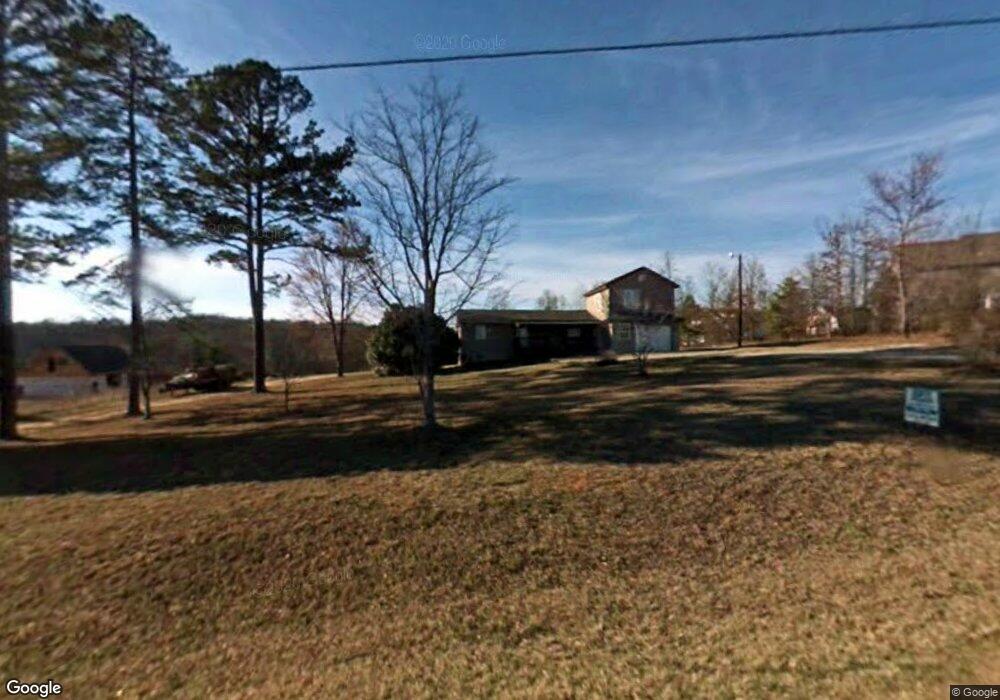
This home is located at 551 E Airport Rd, Greer, SC 29651 and is currently estimated at $297,469, approximately $191 per square foot. 551 E Airport Rd is a home located in Greenville County with nearby schools including Skyland Elementary School, Blue Ridge Middle School, and Blue Ridge High School.
Ownership History
Date
Name
Owned For
Owner Type
Purchase Details
Closed on
Oct 7, 2014
Sold by
Jussila Jacob A and Jussila Robyn S
Bought by
Brackett Robert L and Brackett Jessica
Current Estimated Value
Home Financials for this Owner
Home Financials are based on the most recent Mortgage that was taken out on this home.
Original Mortgage
$120,408
Outstanding Balance
$92,547
Interest Rate
4.17%
Mortgage Type
New Conventional
Estimated Equity
$204,922
Create a Home Valuation Report for This Property
The Home Valuation Report is an in-depth analysis detailing your home's value as well as a comparison with similar homes in the area
Home Values in the Area
Average Home Value in this Area
Purchase History
| Date | Buyer | Sale Price | Title Company |
|---|---|---|---|
| Brackett Robert L | $118,000 | -- |
Source: Public Records
Mortgage History
| Date | Status | Borrower | Loan Amount |
|---|---|---|---|
| Open | Brackett Robert L | $120,408 |
Source: Public Records
Tax History Compared to Growth
Tax History
| Year | Tax Paid | Tax Assessment Tax Assessment Total Assessment is a certain percentage of the fair market value that is determined by local assessors to be the total taxable value of land and additions on the property. | Land | Improvement |
|---|---|---|---|---|
| 2024 | $655 | $3,870 | $430 | $3,440 |
| 2023 | $655 | $3,870 | $430 | $3,440 |
| 2022 | $612 | $3,870 | $430 | $3,440 |
| 2021 | $605 | $3,870 | $430 | $3,440 |
| 2020 | $568 | $3,370 | $380 | $2,990 |
| 2019 | $565 | $3,370 | $380 | $2,990 |
| 2018 | $564 | $3,370 | $380 | $2,990 |
| 2017 | $550 | $3,370 | $380 | $2,990 |
| 2016 | $520 | $84,260 | $9,430 | $74,830 |
| 2015 | $520 | $84,260 | $9,430 | $74,830 |
| 2014 | $1,259 | $73,280 | $12,720 | $60,560 |
Source: Public Records
Map
Nearby Homes
- 541 E Airport Rd
- 131 Elevation Ct
- 3505 Ballenger Rd
- 105 Claridge Way
- 213 Castle Creek Dr
- 204 Claridge Way
- 210 Claridge Way
- 209 Claridge Way
- 1 Chasie Ln
- 130 Mount Lebanon Church Rd
- 406 Jersey Queen Trail
- 16 Woodwind Way
- 495 Mount Lebanon Church Rd
- 645 Nichole Place
- 106 Fitts Spur
- 25 Natalie Ct
- 36 Gibson Oaks Dr
- 107 Sunriff Ct
- 28 Oak Edge Ln
- 7 Viking Dr
- 557 E Airport Rd
- 307 Brockway Ln
- 555 E Airport Rd
- 547 E Airport Rd
- 306 Brockway Ln
- 305 Brockway Ln
- 549 E Airport Rd
- 304 Brockway Ln
- 544 E Airport Rd
- 409 Copper Ct
- 303 Brockway Ln
- 407 Copper Ct
- 302 Brockway Ln
- 540 E Airport Rd
- 405 Copper Ct
- 301 Brockway Ln
- 300 Brockway Ln
- 545 E Airport Rd
- 408 Copper Ct
- 533 E Airport Rd