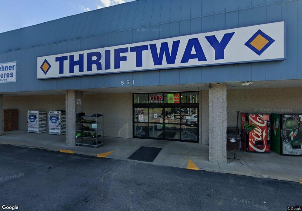
551 E Us Highway 24 Trafficway Rossville, KS 66533
--
Bed
--
Bath
16,640
Sq Ft
3.72
Acres
About This Home
This home is located at 551 E Us Highway 24 Trafficway, Rossville, KS 66533. 551 E Us Highway 24 Trafficway is a home located in Shawnee County with nearby schools including Rossville Elementary School and Rossville Junior/Senior High School.
Ownership History
Date
Name
Owned For
Owner Type
Purchase Details
Closed on
Jun 3, 2024
Sold by
Wehner John L and Wehner Robert J
Bought by
Rossville Market Llc
Home Financials for this Owner
Home Financials are based on the most recent Mortgage that was taken out on this home.
Original Mortgage
$900,000
Outstanding Balance
$888,690
Interest Rate
7.1%
Mortgage Type
New Conventional
Purchase Details
Closed on
Aug 29, 2022
Sold by
John A Wehner Revocable Trust
Bought by
Wehner John L and Wehner Robert J
Purchase Details
Closed on
Aug 5, 2014
Sold by
Wehner John A
Bought by
Wehner John A and The John A Wehner Revocable Living Trust
Create a Home Valuation Report for This Property
The Home Valuation Report is an in-depth analysis detailing your home's value as well as a comparison with similar homes in the area
Home Values in the Area
Average Home Value in this Area
Purchase History
| Date | Buyer | Sale Price | Title Company |
|---|---|---|---|
| Rossville Market Llc | -- | Lawyers Title Of Topeka | |
| Wehner John L | -- | -- | |
| Wehner John A | -- | None Available |
Source: Public Records
Mortgage History
| Date | Status | Borrower | Loan Amount |
|---|---|---|---|
| Open | Rossville Market Llc | $900,000 |
Source: Public Records
Tax History Compared to Growth
Tax History
| Year | Tax Paid | Tax Assessment Tax Assessment Total Assessment is a certain percentage of the fair market value that is determined by local assessors to be the total taxable value of land and additions on the property. | Land | Improvement |
|---|---|---|---|---|
| 2025 | $26,555 | $200,026 | -- | -- |
| 2023 | $26,555 | $169,143 | $0 | $0 |
| 2022 | $25,724 | $167,243 | $0 | $0 |
| 2021 | $25,558 | $0 | $0 | $0 |
| 2020 | $23,410 | $166,483 | $0 | $0 |
| 2019 | $23,944 | $166,598 | $0 | $0 |
| 2018 | $27,896 | $192,285 | $0 | $0 |
| 2017 | $27,896 | $187,690 | $0 | $0 |
| 2014 | $24,760 | $183,231 | $0 | $0 |
Source: Public Records
Map
Nearby Homes
- 354 Anderson St
- 611 Pearl St
- 321 W Perry St
- 117 N Main St
- 16037 U S 24
- 0000 NW Bailey Rd
- XXX NW Douglas Rd
- Lot 2 NW Douglas Rd
- Lot 1 NW Douglas Rd
- 00000 NW 86th St
- 308 Beaubein St
- 215 & 219 Main St
- 302 Sunset Ln
- Lot 2, Blk B SW 17th St
- Lot 3, Blk A SW Urish Rd
- 0000 NW 86th St
- 0000 NW 86th St Unit Lot 2
- 0000 NW 86th St Unit Lot 4
- 0000 NW 86th St Unit Lot 1
- 0000 NW 86th St Unit Lot 3
- 601 U S 24 Unit Suite A
- 601 E Us Highway 24 Trafficway
- 601 E Us Highway 24 Trafficway
- 601 Suite D E US 24 Hwy
- 590 E Industrial Traffic Way
- 651 E Industrial Traffic Way
- 731 E Highway 24 Trafficway
- 605 Kross Cir
- 597 Griswold St
- 609 Kross Cir
- 593 Griswold St
- 601 Kross Cir
- 589 Griswold St
- 581 Griswold St
- 612 Kross Cir
- 631 Redwood Dr
- 598 Griswold St
- 594 Griswold St
- 627 Redwood Dr
- 648 Griswold St