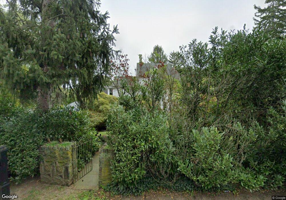
551 Locust Point Rd Rumson, NJ 07760
Estimated Value: $1,657,000 - $2,021,000
4
Beds
3
Baths
3,424
Sq Ft
$512/Sq Ft
Est. Value
About This Home
This home is located at 551 Locust Point Rd, Rumson, NJ 07760 and is currently estimated at $1,751,669, approximately $511 per square foot. 551 Locust Point Rd is a home located in Monmouth County with nearby schools including Navesink Elementary School, Bayshore Middle School, and Middletown - South High School.
Ownership History
Date
Name
Owned For
Owner Type
Purchase Details
Closed on
May 15, 2008
Sold by
Krauss Mikal T and Krauss James
Bought by
Rudiger Susanne R and Rudiger Karl
Current Estimated Value
Home Financials for this Owner
Home Financials are based on the most recent Mortgage that was taken out on this home.
Original Mortgage
$300,000
Outstanding Balance
$190,286
Interest Rate
5.91%
Mortgage Type
Purchase Money Mortgage
Estimated Equity
$1,561,383
Purchase Details
Closed on
Jan 7, 1998
Sold by
O'Doyle Patrick
Bought by
Krauss Mikal
Home Financials for this Owner
Home Financials are based on the most recent Mortgage that was taken out on this home.
Original Mortgage
$356,000
Interest Rate
7.09%
Purchase Details
Closed on
Feb 16, 1995
Sold by
Ocean Fedl Sav Bk
Bought by
Doyle Patrick and Doyle Janet
Home Financials for this Owner
Home Financials are based on the most recent Mortgage that was taken out on this home.
Original Mortgage
$140,000
Interest Rate
9.17%
Create a Home Valuation Report for This Property
The Home Valuation Report is an in-depth analysis detailing your home's value as well as a comparison with similar homes in the area
Home Values in the Area
Average Home Value in this Area
Purchase History
| Date | Buyer | Sale Price | Title Company |
|---|---|---|---|
| Rudiger Susanne R | $980,000 | Chicago Title Insurance Co | |
| Krauss Mikal | $445,000 | -- | |
| Doyle Patrick | $175,000 | -- |
Source: Public Records
Mortgage History
| Date | Status | Borrower | Loan Amount |
|---|---|---|---|
| Open | Rudiger Susanne R | $300,000 | |
| Previous Owner | Krauss Mikal | $356,000 | |
| Previous Owner | Doyle Patrick | $140,000 |
Source: Public Records
Tax History
| Year | Tax Paid | Tax Assessment Tax Assessment Total Assessment is a certain percentage of the fair market value that is determined by local assessors to be the total taxable value of land and additions on the property. | Land | Improvement |
|---|---|---|---|---|
| 2025 | $19,781 | $1,216,900 | $649,500 | $567,400 |
| 2024 | $21,040 | $1,202,500 | $645,500 | $557,000 |
| 2023 | $21,040 | $1,210,600 | $615,500 | $595,100 |
| 2022 | $20,482 | $1,062,300 | $495,700 | $566,600 |
| 2021 | $20,482 | $984,700 | $480,800 | $503,900 |
| 2020 | $20,811 | $973,400 | $480,800 | $492,600 |
| 2019 | $20,497 | $970,500 | $480,800 | $489,700 |
| 2018 | $20,537 | $947,700 | $480,800 | $466,900 |
| 2017 | $20,690 | $945,200 | $480,800 | $464,400 |
| 2016 | $19,893 | $933,500 | $480,800 | $452,700 |
| 2015 | $20,437 | $926,000 | $480,800 | $445,200 |
| 2014 | $20,086 | $887,600 | $480,800 | $406,800 |
Source: Public Records
Map
Nearby Homes
- 139 Monmouth Ave
- 70 Valley Dr E
- 96 East Ave Unit 76
- 18 Clay Ct
- 111 Wesley Ave
- 502 Central Ave
- 498 Central Ave
- HAMPSHIRE Plan at Central Ave
- 934 Navesink River Rd
- 7100 Prospect Ave
- 6998 Prospect Ave
- 500 Central Ave
- 809 Navesink River Rd
- 20 Brianna Ct Unit 20
- 258 Ocean Blvd
- 608 Raritan Ave
- 119 Chestnut Ave
- 16 E Garfield Ave
- 12 E Garfield Ave
- 8 E Garfield Ave
- 547 Locust Point Rd
- 555 Locust Point Rd
- 563 Locust Point Rd
- 534 Locust Point Rd
- 543 Locust Point Rd
- 542 Locust Point Rd
- 539 Locust Point Rd
- 571 Locust Point Rd
- 528 Locust Point Rd
- 535 Locust Point Rd
- 531 Locust Point Rd
- 14 Maxson Ave
- 10 Maxson Ave
- 8 Maxson Ave
- 524 Locust Point Rd
- 12 Maxson Ave
- 329 Linden Ave
- 6 Maxson Ave
- 550 Locust Point Rd
- 529 Locust Point Rd