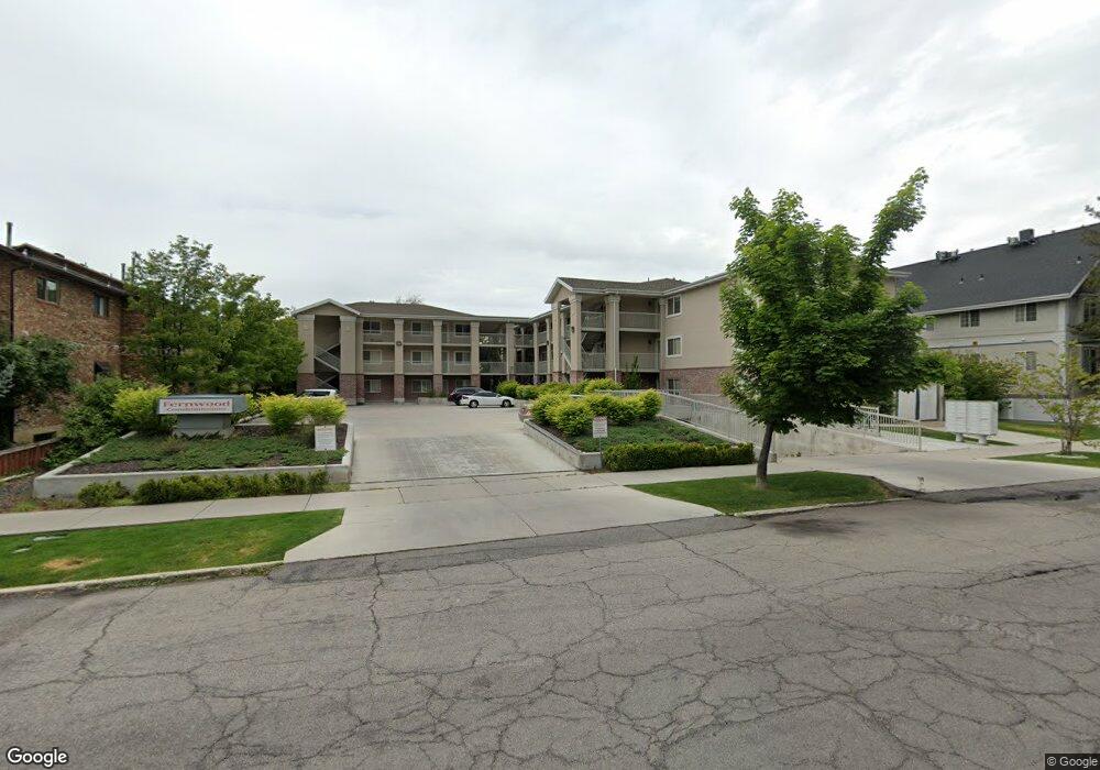
551 N 200 E Unit 303 Provo, UT 84606
Joaquin NeighborhoodEstimated Value: $447,433 - $487,000
4
Beds
2
Baths
1,225
Sq Ft
$379/Sq Ft
Est. Value
About This Home
This home is located at 551 N 200 E Unit 303, Provo, UT 84606 and is currently estimated at $463,858, approximately $378 per square foot. 551 N 200 E Unit 303 is a home located in Utah County with nearby schools including Provo Peaks School, Centennial Middle School, and Timpview High School.
Ownership History
Date
Name
Owned For
Owner Type
Purchase Details
Closed on
Aug 15, 2017
Sold by
Wazimu Family Llc
Bought by
Lister Daniel and Lister Melissa
Current Estimated Value
Purchase Details
Closed on
Dec 26, 2012
Sold by
Paul Daniel R and Paul Luella Lena
Bought by
Wazimu Family Llc
Purchase Details
Closed on
Aug 24, 2006
Sold by
Craig Kevin M and Craig Ronda L
Bought by
Paul Daniel R and Paul Luella Lena
Home Financials for this Owner
Home Financials are based on the most recent Mortgage that was taken out on this home.
Original Mortgage
$120,000
Interest Rate
6.76%
Mortgage Type
Purchase Money Mortgage
Purchase Details
Closed on
Jul 9, 2001
Sold by
Hunter David
Bought by
Craig Kevin M and Craig Ronda L
Home Financials for this Owner
Home Financials are based on the most recent Mortgage that was taken out on this home.
Original Mortgage
$185,900
Interest Rate
7.26%
Create a Home Valuation Report for This Property
The Home Valuation Report is an in-depth analysis detailing your home's value as well as a comparison with similar homes in the area
Home Values in the Area
Average Home Value in this Area
Purchase History
| Date | Buyer | Sale Price | Title Company |
|---|---|---|---|
| Lister Daniel | -- | North American Title | |
| Wazimu Family Llc | -- | First American Title | |
| Paul Daniel R | -- | First American Title Agency | |
| Craig Kevin M | -- | Old Republic Title Company |
Source: Public Records
Mortgage History
| Date | Status | Borrower | Loan Amount |
|---|---|---|---|
| Previous Owner | Paul Daniel R | $120,000 | |
| Previous Owner | Craig Kevin M | $185,900 |
Source: Public Records
Tax History Compared to Growth
Tax History
| Year | Tax Paid | Tax Assessment Tax Assessment Total Assessment is a certain percentage of the fair market value that is determined by local assessors to be the total taxable value of land and additions on the property. | Land | Improvement |
|---|---|---|---|---|
| 2025 | $2,167 | $235,455 | $47,600 | $380,500 |
| 2024 | $2,167 | $213,290 | $0 | $0 |
| 2023 | $2,234 | $216,810 | $0 | $0 |
| 2022 | $2,057 | $201,245 | $0 | $0 |
| 2021 | $1,729 | $295,100 | $35,400 | $259,700 |
| 2020 | $1,705 | $272,800 | $32,700 | $240,100 |
| 2019 | $1,484 | $246,900 | $30,000 | $216,900 |
| 2018 | $1,463 | $246,900 | $30,000 | $216,900 |
| 2017 | $1,274 | $118,085 | $0 | $0 |
| 2016 | $1,242 | $107,360 | $0 | $0 |
| 2015 | $1,182 | $103,235 | $0 | $0 |
| 2014 | $1,073 | $97,735 | $0 | $0 |
Source: Public Records
Map
Nearby Homes
- 466 N 200 E
- 136 E 400 N Unit 107
- 136 E 400 N Unit 108
- 394 N 300 E
- 836 N University Ave Unit 111
- 75 E 200 N Unit 106
- 541 E 500 N Unit 10
- 541 E 500 N Unit 12
- 250 N 100 W Unit 109
- 142 N 100 E
- 319 E 100 N
- 561 N 700 E
- 358 E 100 N
- 361 N 300 W Unit 201
- 289 N 700 E
- 788 E 750 N Unit 1
- 761 E 820 N Unit 214
- 384 N 800 E
- 245 N 800 E
- 100 N 700 E