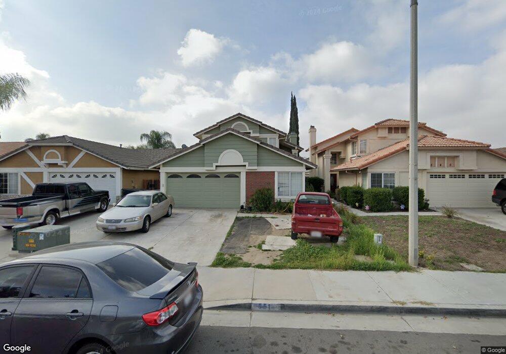
551 Playa de Corte Perris, CA 92571
Central Perris NeighborhoodEstimated Value: $474,000 - $512,000
3
Beds
3
Baths
1,525
Sq Ft
$324/Sq Ft
Est. Value
About This Home
This home is located at 551 Playa de Corte, Perris, CA 92571 and is currently estimated at $493,596, approximately $323 per square foot. 551 Playa de Corte is a home located in Riverside County with nearby schools including Clearwater Elementary School, Pinacate Middle School, and Perris High School.
Ownership History
Date
Name
Owned For
Owner Type
Purchase Details
Closed on
Jun 7, 2017
Sold by
Ocampo Yaribetha and Delgado Oliva
Bought by
Ocampo Yaribeth
Current Estimated Value
Home Financials for this Owner
Home Financials are based on the most recent Mortgage that was taken out on this home.
Original Mortgage
$114,500
Outstanding Balance
$78,006
Interest Rate
4.02%
Mortgage Type
New Conventional
Estimated Equity
$415,590
Purchase Details
Closed on
Apr 21, 2011
Sold by
Barfield Hugh D and Barfield Brenda L
Bought by
Ocampo Yaribeth and Delgado Oliva
Home Financials for this Owner
Home Financials are based on the most recent Mortgage that was taken out on this home.
Original Mortgage
$121,831
Interest Rate
4.53%
Mortgage Type
FHA
Create a Home Valuation Report for This Property
The Home Valuation Report is an in-depth analysis detailing your home's value as well as a comparison with similar homes in the area
Home Values in the Area
Average Home Value in this Area
Purchase History
| Date | Buyer | Sale Price | Title Company |
|---|---|---|---|
| Ocampo Yaribeth | -- | Wfg Natioanl Title Company O | |
| Ocampo Yaribeth | $125,000 | Orange Coast Title Co |
Source: Public Records
Mortgage History
| Date | Status | Borrower | Loan Amount |
|---|---|---|---|
| Open | Ocampo Yaribeth | $114,500 | |
| Previous Owner | Ocampo Yaribeth | $121,831 |
Source: Public Records
Tax History
| Year | Tax Paid | Tax Assessment Tax Assessment Total Assessment is a certain percentage of the fair market value that is determined by local assessors to be the total taxable value of land and additions on the property. | Land | Improvement |
|---|---|---|---|---|
| 2025 | $2,716 | $223,563 | $38,905 | $184,658 |
| 2023 | $2,716 | $214,885 | $37,396 | $177,489 |
| 2022 | $2,685 | $210,672 | $36,663 | $174,009 |
| 2021 | $2,667 | $206,543 | $35,945 | $170,598 |
| 2020 | $2,635 | $204,426 | $35,577 | $168,849 |
| 2019 | $2,577 | $200,419 | $34,880 | $165,539 |
| 2018 | $2,469 | $196,491 | $34,197 | $162,294 |
| 2017 | $2,277 | $135,277 | $27,053 | $108,224 |
| 2016 | $2,301 | $132,625 | $26,523 | $106,102 |
| 2015 | $2,300 | $130,635 | $26,126 | $104,509 |
| 2014 | $2,277 | $128,078 | $25,615 | $102,463 |
Source: Public Records
Map
Nearby Homes
- 507 Coudures Way
- 1942 Sandcastle Dr
- 466 Granite View Dr
- 2070 Dayflower Ct
- 377 Aurora Dr
- 544 Turquoise Dr
- 1826 Avenida San Sebastian
- 767 Clearwater Dr
- 723 Anthirium Ave
- 2063 Willowbrook Ln
- 1777 Amethyst Dr
- 763 Anthirium Ave
- 705 Fuchsia Ln
- 2248 Ridge Ct
- 2231 Flash Ct
- 1676 Amethyst Dr
- 21500 Orange Creek Rd
- 716 Periwinkle Ln
- 1562 Remembrance Dr
- 129 Olivetree Dr
- 559 Playa de Corte
- 545 Playa de Corte
- 539 Playa de Corte
- 1952 Sierra Espadan Rd
- 1958 Sierra Espadan Rd
- 533 Playa de Corte
- 550 Camino Morena
- 558 Camino Morena
- 544 Camino Morena
- 1946 Sierra Espadan Rd
- 538 Camino Morena
- 1940 Sierra Espadan Rd
- 527 Playa de Corte
- 532 Camino Morena
- 560 Playa de Corte
- 1932 Sierra Espadan Rd
- 540 Playa de Corte
- 521 Playa de Corte
- 526 Camino Morena
- 566 Playa de Corte
Your Personal Tour Guide
Ask me questions while you tour the home.