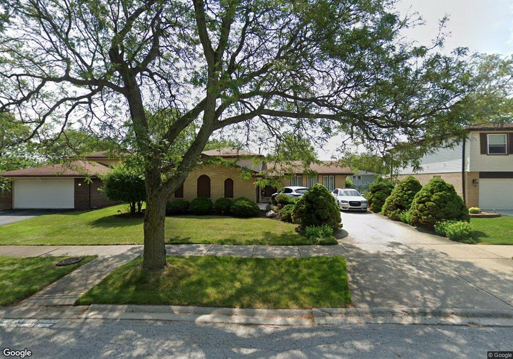
551 Quail Run Rd Matteson, IL 60443
West Matteson NeighborhoodEstimated Value: $246,000 - $314,000
3
Beds
2
Baths
1,294
Sq Ft
$211/Sq Ft
Est. Value
About This Home
This home is located at 551 Quail Run Rd, Matteson, IL 60443 and is currently estimated at $272,940, approximately $210 per square foot. 551 Quail Run Rd is a home located in Cook County with nearby schools including Colin Powell Middle School.
Ownership History
Date
Name
Owned For
Owner Type
Purchase Details
Closed on
Nov 12, 2025
Sold by
Brown Lawrence A and Brown Michelle R
Bought by
Brown Michelle Rogers
Current Estimated Value
Purchase Details
Closed on
Nov 1, 1993
Sold by
Manaa Lope A and Manaa Virginia P
Bought by
Brown Lawrence A and Brown Michelle R
Home Financials for this Owner
Home Financials are based on the most recent Mortgage that was taken out on this home.
Original Mortgage
$112,300
Interest Rate
6.96%
Mortgage Type
FHA
Create a Home Valuation Report for This Property
The Home Valuation Report is an in-depth analysis detailing your home's value as well as a comparison with similar homes in the area
Home Values in the Area
Average Home Value in this Area
Purchase History
| Date | Buyer | Sale Price | Title Company |
|---|---|---|---|
| Brown Michelle Rogers | -- | None Listed On Document | |
| Brown Lawrence A | $75,000 | -- |
Source: Public Records
Mortgage History
| Date | Status | Borrower | Loan Amount |
|---|---|---|---|
| Previous Owner | Brown Lawrence A | $112,300 |
Source: Public Records
Tax History Compared to Growth
Tax History
| Year | Tax Paid | Tax Assessment Tax Assessment Total Assessment is a certain percentage of the fair market value that is determined by local assessors to be the total taxable value of land and additions on the property. | Land | Improvement |
|---|---|---|---|---|
| 2024 | $7,745 | $22,000 | $3,360 | $18,640 |
| 2023 | $6,232 | $22,000 | $3,360 | $18,640 |
| 2022 | $6,232 | $15,061 | $2,940 | $12,121 |
| 2021 | $6,339 | $15,060 | $2,940 | $12,120 |
| 2020 | $6,245 | $15,060 | $2,940 | $12,120 |
| 2019 | $5,516 | $13,525 | $2,730 | $10,795 |
| 2018 | $5,433 | $13,525 | $2,730 | $10,795 |
| 2017 | $5,314 | $13,525 | $2,730 | $10,795 |
| 2016 | $5,399 | $12,929 | $2,520 | $10,409 |
| 2015 | $5,237 | $12,929 | $2,520 | $10,409 |
| 2014 | $5,122 | $12,929 | $2,520 | $10,409 |
| 2013 | $5,358 | $14,276 | $2,520 | $11,756 |
Source: Public Records
Map
Nearby Homes
- 6230 Streamwood Ln
- 6226 Beechwood Rd
- 6037 Spring Ln
- 6125 Sunflower Dr
- 6103 Sunflower Dr
- 6021 Spring Ln
- 6306 Beaver Dam Rd
- 433 Wheatfield Rd
- 6260 Sunflower Dr
- 6200 Marsh Ln
- 749 Old Farm Rd
- 217 Oriole Rd
- 123 Oriole Rd
- 5808 Allemong Dr
- 6216 Pond View Dr
- 50 Willow Rd
- 42 Pheasant Rd
- 25 Pheasant Rd
- 111 Deerpath Rd
- 116 Cloverleaf Rd
- 557 Quail Run Rd
- 545 Quail Run Rd
- 602 Willow Rd
- 562 Willow Rd
- 563 Quail Run Rd
- 608 Willow Rd
- 537 Quail Run Rd
- 6150 Streamwood Ln
- 556 Willow Rd
- 614 Willow Rd
- 6159 Streamwood Ln
- 603 Quail Run Rd
- 531 Quail Run Rd
- 534 Quail Run Rd
- 550 Willow Rd
- 6160 Streamwood Ln
- 620 Willow Rd
- 6201 Streamwood Ln
- 611 Quail Run Rd
- 6206 Beaver Dam Rd