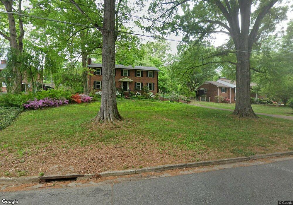
551 Westoak Trail Winston Salem, NC 27104
Peace Haven NeighborhoodEstimated Value: $474,914 - $493,000
6
Beds
4
Baths
2,700
Sq Ft
$179/Sq Ft
Est. Value
About This Home
This home is located at 551 Westoak Trail, Winston Salem, NC 27104 and is currently estimated at $484,229, approximately $179 per square foot. 551 Westoak Trail is a home located in Forsyth County with nearby schools including Sherwood Forest Elementary School, Thomas Jefferson Middle School, and Mount Tabor High School.
Ownership History
Date
Name
Owned For
Owner Type
Purchase Details
Closed on
Oct 30, 2008
Sold by
Toomey Cathy B and Toomey Mark G
Bought by
Dodds Michael R and Dodds Jane K
Current Estimated Value
Home Financials for this Owner
Home Financials are based on the most recent Mortgage that was taken out on this home.
Original Mortgage
$215,100
Outstanding Balance
$131,014
Interest Rate
4.75%
Mortgage Type
Purchase Money Mortgage
Estimated Equity
$353,215
Create a Home Valuation Report for This Property
The Home Valuation Report is an in-depth analysis detailing your home's value as well as a comparison with similar homes in the area
Home Values in the Area
Average Home Value in this Area
Purchase History
| Date | Buyer | Sale Price | Title Company |
|---|---|---|---|
| Dodds Michael R | $239,000 | None Available |
Source: Public Records
Mortgage History
| Date | Status | Borrower | Loan Amount |
|---|---|---|---|
| Open | Dodds Michael R | $215,100 |
Source: Public Records
Tax History Compared to Growth
Tax History
| Year | Tax Paid | Tax Assessment Tax Assessment Total Assessment is a certain percentage of the fair market value that is determined by local assessors to be the total taxable value of land and additions on the property. | Land | Improvement |
|---|---|---|---|---|
| 2025 | $3,973 | $417,000 | $56,700 | $360,300 |
| 2024 | $3,791 | $283,200 | $51,000 | $232,200 |
| 2023 | $3,791 | $283,200 | $51,000 | $232,200 |
| 2022 | $3,721 | $283,200 | $51,000 | $232,200 |
| 2021 | $3,654 | $283,200 | $51,000 | $232,200 |
| 2020 | $3,640 | $263,600 | $50,100 | $213,500 |
| 2019 | $3,666 | $263,600 | $50,100 | $213,500 |
| 2018 | $3,482 | $263,600 | $50,100 | $213,500 |
| 2016 | $3,036 | $230,660 | $50,085 | $180,575 |
| 2015 | $2,990 | $230,660 | $50,085 | $180,575 |
| 2014 | $2,899 | $230,660 | $50,085 | $180,575 |
Source: Public Records
Map
Nearby Homes
- 624 Brentwood Ct
- 435 Burkes Crossing Dr
- 431 Hearthside Dr
- 4813 Tiffany Ave
- 3980 Seaton Rd
- 543 Barrett Rd
- 5025 Mereworth Ct
- 132 Carrisbrooke Ln
- 305 Rockmont Dr
- 204 Bradberry Ln
- 626 Willowbrook Ln
- 581 Clyde Dr
- 5200 Mountain View Rd
- 310 Coventry Park Ln
- 665 Alpine Rd
- 565 Knob View Dr
- 200 Coventry Park Ln
- 185 Coventry Park Ln
- 130 Alpine Ct Unit 24
- 4205 Club Pointe Ct
- 491 Westoak Trail
- 561 Westoak Trail
- 481 Westoak Trail
- 571 Westoak Trail
- 455 Flyntvalley Dr
- 460 Flyntvalley Dr
- 471 Westoak Trail
- 505 Lynhaven Place Ct
- 581 Westoak Trail
- 580 Westoak Trail
- 401 Lynhaven Dr
- 480 Westoak Trail
- 409 Lynhaven Dr
- 407 Lynhaven Dr
- 405 Lynhaven Dr
- 461 Westoak Trail
- 450 Flyntvalley Dr
- 398 Lynhaven Dr
- 600 Brentwood Ct
- 415 Lynhaven Dr