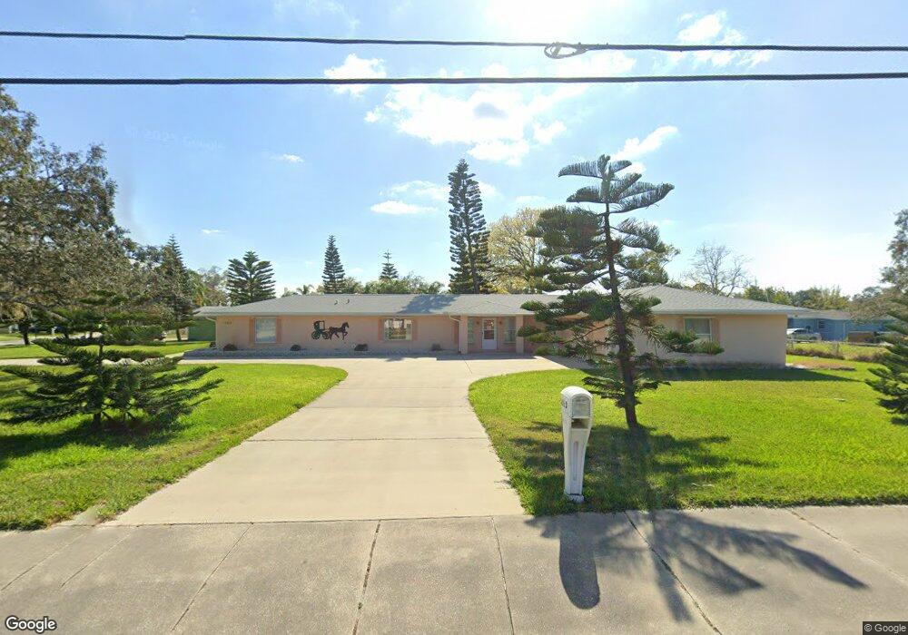
5510 S Nova Rd Port Orange, FL 32127
Harbor Oaks NeighborhoodEstimated Value: $375,000 - $398,000
3
Beds
3
Baths
1,820
Sq Ft
$213/Sq Ft
Est. Value
About This Home
This home is located at 5510 S Nova Rd, Port Orange, FL 32127 and is currently estimated at $387,095, approximately $212 per square foot. 5510 S Nova Rd is a home located in Volusia County with nearby schools including Port Orange Elementary School, Silver Sands Middle School, and Spruce Creek High School.
Ownership History
Date
Name
Owned For
Owner Type
Purchase Details
Closed on
Oct 15, 1999
Sold by
Brown Roy E and Brown Teresa Gail
Bought by
Barr Donald H and Barr Donna B
Current Estimated Value
Purchase Details
Closed on
Jan 31, 1997
Sold by
Boulton Jack D and Boulton Genevieve
Bought by
Brown Roy E and Brown Teresa Gail
Home Financials for this Owner
Home Financials are based on the most recent Mortgage that was taken out on this home.
Original Mortgage
$21,000
Interest Rate
7.77%
Purchase Details
Closed on
Nov 15, 1987
Bought by
Barr Donald H
Purchase Details
Closed on
May 15, 1987
Bought by
Barr Donald H
Create a Home Valuation Report for This Property
The Home Valuation Report is an in-depth analysis detailing your home's value as well as a comparison with similar homes in the area
Home Values in the Area
Average Home Value in this Area
Purchase History
| Date | Buyer | Sale Price | Title Company |
|---|---|---|---|
| Barr Donald H | $34,000 | -- | |
| Brown Roy E | $26,000 | -- | |
| Barr Donald H | $100 | -- | |
| Barr Donald H | $100 | -- |
Source: Public Records
Mortgage History
| Date | Status | Borrower | Loan Amount |
|---|---|---|---|
| Previous Owner | Brown Roy E | $21,000 |
Source: Public Records
Tax History Compared to Growth
Tax History
| Year | Tax Paid | Tax Assessment Tax Assessment Total Assessment is a certain percentage of the fair market value that is determined by local assessors to be the total taxable value of land and additions on the property. | Land | Improvement |
|---|---|---|---|---|
| 2025 | $2,340 | $178,542 | -- | -- |
| 2024 | $2,340 | $173,511 | -- | -- |
| 2023 | $2,340 | $168,458 | $0 | $0 |
| 2022 | $2,252 | $163,551 | $0 | $0 |
| 2021 | $2,295 | $158,787 | $0 | $0 |
| 2020 | $2,233 | $156,595 | $0 | $0 |
| 2019 | $2,156 | $153,074 | $0 | $0 |
| 2018 | $2,153 | $150,220 | $0 | $0 |
| 2017 | $2,157 | $147,130 | $0 | $0 |
| 2016 | $2,158 | $144,104 | $0 | $0 |
| 2015 | $2,221 | $143,102 | $0 | $0 |
| 2014 | $2,228 | $141,966 | $0 | $0 |
Source: Public Records
Map
Nearby Homes
- 5650 Palm Ave
- 5476 W Bayshore Dr
- 720 Palm Circle Dr
- 720 Palm Cir Dr
- 411 Acacia Cir
- 418 Acacia Cir
- 5585 Lancewood Cir S Unit S
- 5585 Lancewood Cir S
- 5561 Magnolia Ave
- 5563 W Magnolia Ave
- 276 Farmbrook Rd
- 5508 Lancewood Cir N
- 5697 Christiancy Ave
- 88 E Bayshore Dr
- 24 Oak St
- 5478 Landis Ave
- 18 E Magnolia Ave
- 5200 S Nova Rd Unit 202
- 5200 S Nova Rd Unit 131
- 5200 S Nova Rd Unit 82