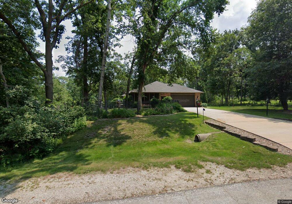
5510 Shamrock Ct Cedar Rapids, IA 52411
Estimated Value: $492,000 - $586,000
4
Beds
5
Baths
2,460
Sq Ft
$224/Sq Ft
Est. Value
About This Home
This home is located at 5510 Shamrock Ct, Cedar Rapids, IA 52411 and is currently estimated at $550,553, approximately $223 per square foot. 5510 Shamrock Ct is a home located in Linn County with nearby schools including T.C. Cherry Elementary School, Viola Gibson Elementary School, and Ponderosa Elementary School.
Ownership History
Date
Name
Owned For
Owner Type
Purchase Details
Closed on
Oct 16, 2023
Sold by
Cathy S Dahm Trust
Bought by
Scott E Dahm Revocable Trust and Dahm
Current Estimated Value
Purchase Details
Closed on
Oct 5, 2022
Sold by
Dahm Scott E and Dahm Cathy S
Bought by
Scott E Dahm Revocable Trust and Cathy S Dahm Revocable Trust
Purchase Details
Closed on
Apr 7, 2011
Sold by
Rackham Teresa Rae
Bought by
Dahm Scott E and Dahm Cathy S
Create a Home Valuation Report for This Property
The Home Valuation Report is an in-depth analysis detailing your home's value as well as a comparison with similar homes in the area
Home Values in the Area
Average Home Value in this Area
Purchase History
| Date | Buyer | Sale Price | Title Company |
|---|---|---|---|
| Scott E Dahm Revocable Trust | -- | None Listed On Document | |
| Scott E Dahm Revocable Trust | -- | -- | |
| Dahm Scott E | $299,500 | None Available |
Source: Public Records
Tax History Compared to Growth
Tax History
| Year | Tax Paid | Tax Assessment Tax Assessment Total Assessment is a certain percentage of the fair market value that is determined by local assessors to be the total taxable value of land and additions on the property. | Land | Improvement |
|---|---|---|---|---|
| 2025 | $6,108 | $598,500 | $81,600 | $516,900 |
| 2024 | $6,754 | $536,500 | $81,600 | $454,900 |
| 2023 | $6,754 | $536,500 | $81,600 | $454,900 |
| 2022 | $6,672 | $486,700 | $81,600 | $405,100 |
| 2021 | $7,452 | $486,700 | $81,600 | $405,100 |
| 2020 | $7,452 | $502,000 | $65,800 | $436,200 |
| 2019 | $6,700 | $461,600 | $65,800 | $395,800 |
| 2018 | $6,556 | $461,600 | $65,800 | $395,800 |
| 2017 | $6,556 | $428,100 | $65,800 | $362,300 |
| 2016 | $6,317 | $428,100 | $65,800 | $362,300 |
| 2015 | $6,357 | $428,100 | $65,800 | $362,300 |
| 2014 | $6,228 | $428,100 | $65,800 | $362,300 |
| 2013 | $6,102 | $428,100 | $65,800 | $362,300 |
Source: Public Records
Map
Nearby Homes
- 6312 Casey Ln NE
- 6524 Michael Dr NE
- 6718 Lauder Ln
- 6720 Caldwell Ln
- 6300 Westwind Rd
- 2492 River Run Rd
- 4301 Viola St NE
- 5843 Wells Ln
- 5854 Wells Ln
- 5180 Chestnut Valley Rd
- 2420 Heritage Green Dr
- 4116 Whitewood Ct NE
- 6827 42nd St NE
- 6505 Blairs Ferry Rd
- 2255 Blairsferry Crossing
- 225 Ridgewood Dr
- 5515 W Mustang Rd
- 4620 N River Blvd NE
- 4620 Prairie Stone Dr NE
- 4408 Prairie Stone Dr NE
- 4602 Blarney Dr
- 4605 Blarney Dr
- 4608 Blarney Dr
- 5531 Antler Dr
- 5521 Shamrock Ct
- 4603 Blarney Dr
- 4607 Blarney Dr
- 5511 Antler Dr
- 5530 Shamrock Ct
- 5501 Antler Dr
- 4609 Blarney Dr
- 5531 Shamrock Ct
- 4600 Deer View Rd
- 4610 Blarney Dr
- 4610 Deer View Rd
- 4550 Deer View Rd
- 5510 Antler Dr
- 4200 Lakewood Dr
- 5520 Antler Dr
- 5601 Antler Dr