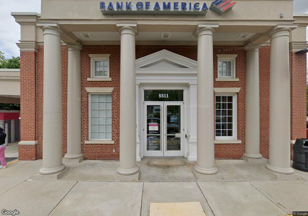
5511 Franconia Rd Alexandria, VA 22310
Rose Hill NeighborhoodEstimated Value: $6,256,441
--
Bed
--
Bath
3,240
Sq Ft
$1,931/Sq Ft
Est. Value
About This Home
This home is located at 5511 Franconia Rd, Alexandria, VA 22310 and is currently estimated at $6,256,441, approximately $1,931 per square foot. 5511 Franconia Rd is a home located in Fairfax County with nearby schools including Bush Hill Elementary School, Twain Middle School, and Edison High School.
Ownership History
Date
Name
Owned For
Owner Type
Purchase Details
Closed on
Nov 5, 2019
Sold by
1788 Cap 10 Va Llc
Bought by
Roseway Llc
Current Estimated Value
Purchase Details
Closed on
May 23, 2018
Sold by
M R S Real Estate Investment Properties
Bought by
1788 Cap 10 Va Llc
Home Financials for this Owner
Home Financials are based on the most recent Mortgage that was taken out on this home.
Original Mortgage
$3,984,900
Interest Rate
4.5%
Mortgage Type
Credit Line Revolving
Create a Home Valuation Report for This Property
The Home Valuation Report is an in-depth analysis detailing your home's value as well as a comparison with similar homes in the area
Home Values in the Area
Average Home Value in this Area
Purchase History
| Date | Buyer | Sale Price | Title Company |
|---|---|---|---|
| Roseway Llc | $4,550,000 | First American Title Ins Ncs | |
| 1788 Cap 10 Va Llc | $3,000,000 | Certified Title Corporation |
Source: Public Records
Mortgage History
| Date | Status | Borrower | Loan Amount |
|---|---|---|---|
| Previous Owner | 1788 Cap 10 Va Llc | $3,984,900 |
Source: Public Records
Tax History Compared to Growth
Tax History
| Year | Tax Paid | Tax Assessment Tax Assessment Total Assessment is a certain percentage of the fair market value that is determined by local assessors to be the total taxable value of land and additions on the property. | Land | Improvement |
|---|---|---|---|---|
| 2025 | $44,503 | $3,442,510 | $818,160 | $2,624,350 |
| 2024 | $44,503 | $3,467,340 | $818,160 | $2,649,180 |
| 2023 | $43,542 | $3,473,660 | $818,160 | $2,655,500 |
| 2022 | $42,055 | $3,315,310 | $818,160 | $2,497,150 |
| 2021 | $43,049 | $3,315,310 | $818,160 | $2,497,150 |
| 2020 | $46,902 | $3,584,430 | $876,600 | $2,707,830 |
| 2019 | $37,504 | $2,866,160 | $876,600 | $1,989,560 |
| 2018 | $29,743 | $2,586,370 | $876,600 | $1,709,770 |
| 2017 | $30,838 | $2,397,940 | $876,600 | $1,521,340 |
| 2016 | $27,311 | $2,127,880 | $584,400 | $1,543,480 |
| 2015 | $26,507 | $2,135,910 | $584,400 | $1,551,510 |
| 2014 | $31,461 | $2,540,290 | $584,400 | $1,955,890 |
Source: Public Records
Map
Nearby Homes
- 6012 Brookland Rd
- 6010 Brookland Rd
- 5554 Jowett Ct
- 6329 Dunman Way
- 6339 Dunman Way
- 5886 Woodfield Estates Dr
- 5206 Ninian Ave
- 6565 Kelsey Point Cir
- 5910 Woodfield Estates Dr
- 6485 Waterfield Rd
- 6117 Rose Hill Dr
- 6028 Crown Royal Cir
- 5924 Jane Way
- 6109 Leewood Dr
- 6535 Grange Ln Unit 202
- 5822 Brookview Dr
- 5963 Founders Hill Dr Unit 101
- 5812 Piedmont Dr
- 5422 Castle Bar Ln
- 6020 Craft Rd
- 6200 Gum St
- 5519 Franconia Rd
- 6204 Gum St
- 5514 Franconia Rd
- 6123 Gum St
- 6205 Edison Dr
- 6201 Gum St
- 5520 Franconia Rd
- 6208 Gum St
- 6205 Gum St
- 5510 Franconia Rd
- 6209 Edison Dr
- 5500 Franconia Rd
- 5619 Brookland Ct
- 6209 Gum St
- 5621 Brookland Ct
- 5617 Brookland Ct
- 5605 Franconia Road #303
- 5607 Franconia Rd Unit 104
- 5607 Franconia Rd