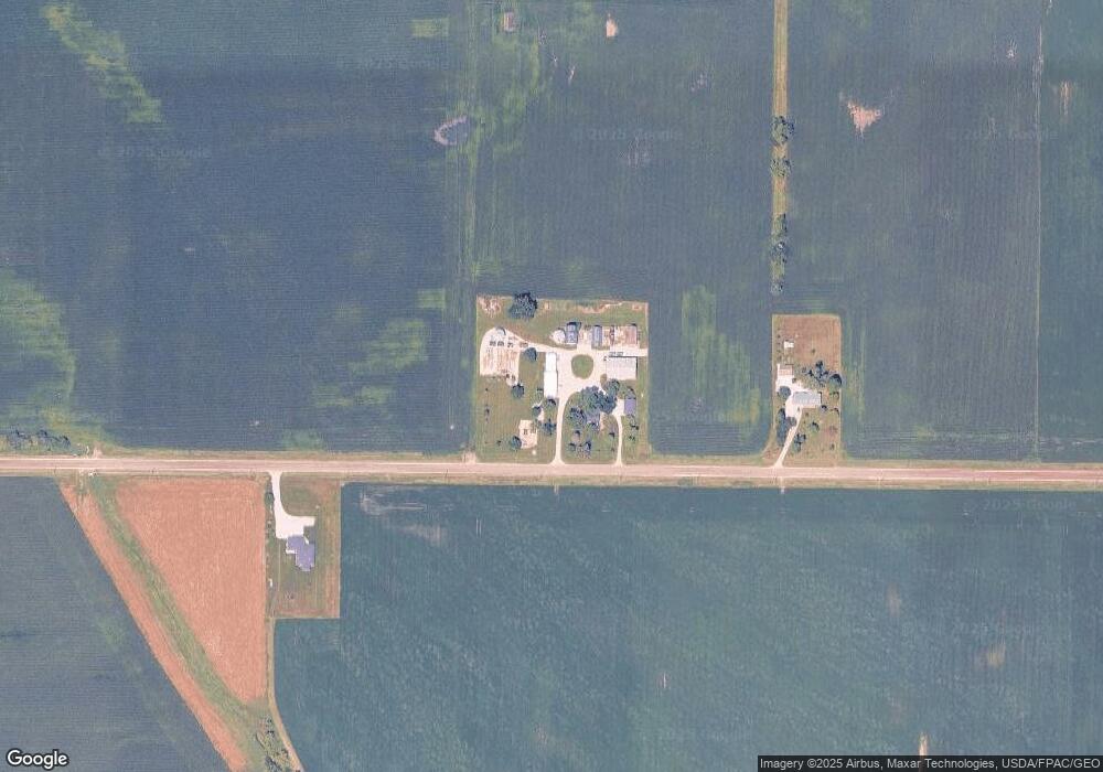
55143 290th St Cambridge, IA 50046
Estimated Value: $363,000 - $484,808
3
Beds
2
Baths
2,313
Sq Ft
$177/Sq Ft
Est. Value
About This Home
This home is located at 55143 290th St, Cambridge, IA 50046 and is currently estimated at $408,603, approximately $176 per square foot. 55143 290th St is a home located in Story County with nearby schools including Ballard West Elementary School, Ballard East Elementary School, and Ballard Middle School.
Ownership History
Date
Name
Owned For
Owner Type
Purchase Details
Closed on
May 29, 2024
Sold by
Evans Helen and Evans Michael
Bought by
Evans Family Revocable Trust and Evans
Current Estimated Value
Purchase Details
Closed on
Apr 15, 2024
Sold by
Stensland Paul
Bought by
Paul Stensland Trust and Stensland
Purchase Details
Closed on
Mar 13, 2023
Sold by
Evans Helen M and Evans Michael D
Bought by
Evans Michael D and Evans Helen M
Create a Home Valuation Report for This Property
The Home Valuation Report is an in-depth analysis detailing your home's value as well as a comparison with similar homes in the area
Home Values in the Area
Average Home Value in this Area
Purchase History
| Date | Buyer | Sale Price | Title Company |
|---|---|---|---|
| Evans Family Revocable Trust | -- | None Listed On Document | |
| Evans Family Revocable Trust | -- | None Listed On Document | |
| Paul Stensland Trust | -- | None Listed On Document | |
| Evans Michael D | $45,000 | -- |
Source: Public Records
Tax History Compared to Growth
Tax History
| Year | Tax Paid | Tax Assessment Tax Assessment Total Assessment is a certain percentage of the fair market value that is determined by local assessors to be the total taxable value of land and additions on the property. | Land | Improvement |
|---|---|---|---|---|
| 2025 | $3,762 | $300,700 | $7,200 | $293,500 |
| 2024 | $3,760 | $290,700 | $5,400 | $285,300 |
| 2023 | $3,532 | $287,600 | $3,500 | $284,100 |
| 2022 | $3,518 | $224,500 | $2,900 | $221,600 |
| 2021 | $3,620 | $224,500 | $2,900 | $221,600 |
| 2020 | $3,556 | $218,000 | $2,600 | $215,400 |
| 2019 | $3,556 | $218,000 | $2,600 | $215,400 |
| 2018 | $2,134 | $134,500 | $3,300 | $131,200 |
| 2017 | $2,134 | $134,500 | $3,300 | $131,200 |
| 2016 | $2,484 | $146,300 | $3,800 | $142,500 |
| 2015 | $2,484 | $146,300 | $3,800 | $142,500 |
| 2014 | $2,678 | $151,500 | $7,100 | $144,400 |
Source: Public Records
Map
Nearby Homes
- 54398 276th St
- 1212 Westview Dr
- 1210 Westview Dr
- 411 Walnut Dr
- 530 Walnut Dr
- 1208 Westview Dr
- 538 Walnut Dr
- 1206 Westview Dr
- 540 Walnut Dr
- 1202 Westview Dr
- 1200 Westview Dr
- 513 Walnut Dr
- 420 Wicker Dr
- 532 Wicker Dr
- 536 Wicker Dr
- 515 Wicker Dr
- 519 Wicker Dr
- 1102 Westview Dr
- 1209 Willow Dr
- 1125 Willow Dr
- 55249 290th St
- 54988 290th St
- 55670 290th St
- 28799 Us Highway 69
- 28775 Us Highway 69
- 55089 282nd St
- 55163 282nd St
- 55293 282nd St
- 55892 290th St
- 55269 282nd St
- 55013 282nd St
- 55327 282nd St
- 28223 550th Ave
- 28240 550th Ave
- 29341 Us Highway 69
- 28168 550th Ave
- 29480 Us Highway 69
- 54690 282nd St
- 28201 550th Ave
- 29514 Us Highway 69
