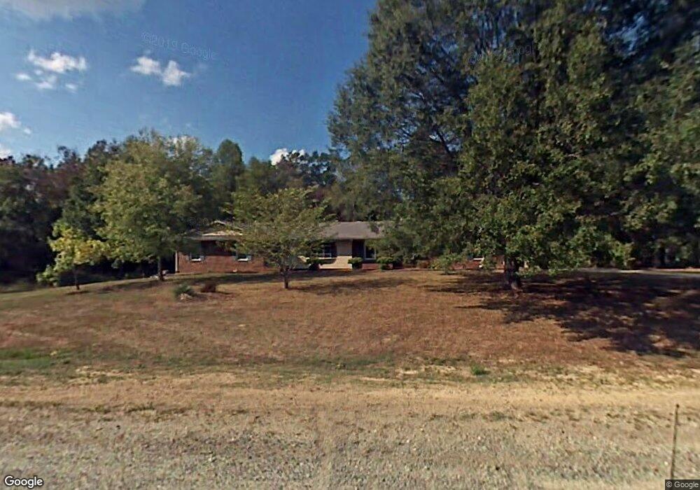
5516 Grove Forrest Dr High Point, NC 27263
Estimated Value: $282,224 - $372,000
3
Beds
2
Baths
1,759
Sq Ft
$182/Sq Ft
Est. Value
About This Home
This home is located at 5516 Grove Forrest Dr, High Point, NC 27263 and is currently estimated at $320,306, approximately $182 per square foot. 5516 Grove Forrest Dr is a home located in Guilford County with nearby schools including Allen Jay Elementary School, Southern Guilford Middle, and Southern Guilford High School.
Ownership History
Date
Name
Owned For
Owner Type
Purchase Details
Closed on
Apr 6, 2005
Sold by
Nall Timothy R
Bought by
Nall Maria B
Current Estimated Value
Create a Home Valuation Report for This Property
The Home Valuation Report is an in-depth analysis detailing your home's value as well as a comparison with similar homes in the area
Home Values in the Area
Average Home Value in this Area
Purchase History
| Date | Buyer | Sale Price | Title Company |
|---|---|---|---|
| Nall Maria B | -- | -- |
Source: Public Records
Tax History
| Year | Tax Paid | Tax Assessment Tax Assessment Total Assessment is a certain percentage of the fair market value that is determined by local assessors to be the total taxable value of land and additions on the property. | Land | Improvement |
|---|---|---|---|---|
| 2025 | $1,738 | $198,200 | $38,000 | $160,200 |
| 2024 | $1,738 | $198,200 | $38,000 | $160,200 |
| 2023 | $1,738 | $198,200 | $38,000 | $160,200 |
| 2022 | $1,738 | $198,200 | $38,000 | $160,200 |
| 2021 | $1,267 | $144,500 | $24,000 | $120,500 |
| 2020 | $1,267 | $144,500 | $24,000 | $120,500 |
| 2019 | $1,267 | $144,500 | $0 | $0 |
| 2018 | $1,261 | $144,500 | $0 | $0 |
| 2017 | $1,229 | $144,500 | $0 | $0 |
| 2016 | $1,152 | $131,600 | $0 | $0 |
| 2015 | $1,158 | $131,600 | $0 | $0 |
| 2014 | $1,171 | $131,600 | $0 | $0 |
Source: Public Records
Map
Nearby Homes
- 6955 Harlow Dr
- 6111 Appletree Ct
- 6912 Harlow Dr
- 7002 Cruthis Rd
- 6007 Checker Rd
- 0 Waterbury Dr
- 105 Oak Ridge Dr
- 0 Suits Rd
- 6318 Gray Farm Rd
- 3738 Amber Way
- 4375 Huff Rd
- 6071 Weant Rd
- 107 Autumn Hill Ct
- 1650 Kersey Valley Rd
- 1638 Kersey Valley Rd
- 0 Harlow Rd
- 115 Lindsay Dr
- 108 Sprucewood Ct
- 0-C Us Highway 311
- 6047 Suits Rd
- 7100 Sleepy Hollow Dr
- 5512 Grove Forrest Dr
- 7104 Sleepy Hollow Dr
- 5515 Grove Forrest Dr
- 5510 Grove Forrest Dr
- 7105 Sleepy Hollow Dr
- 5509 Grove Forrest Dr
- 7104 Wincrest Dr
- 7108 Sleepy Hollow Dr
- 7106 Wincrest Dr
- 5504 Grove Forrest Dr
- 6938 Burrwood Dr
- 5505 Grove Forrest Dr
- 2938 Ebb Shore Dr
- 7124 Harlow Dr
- 7023 Beane Rd
- 2952 Ebb Shore Dr
- 6924 Burrwood Dr
- 2960 Ebb Shore Dr
- 7103 Wincrest Dr
Your Personal Tour Guide
Ask me questions while you tour the home.