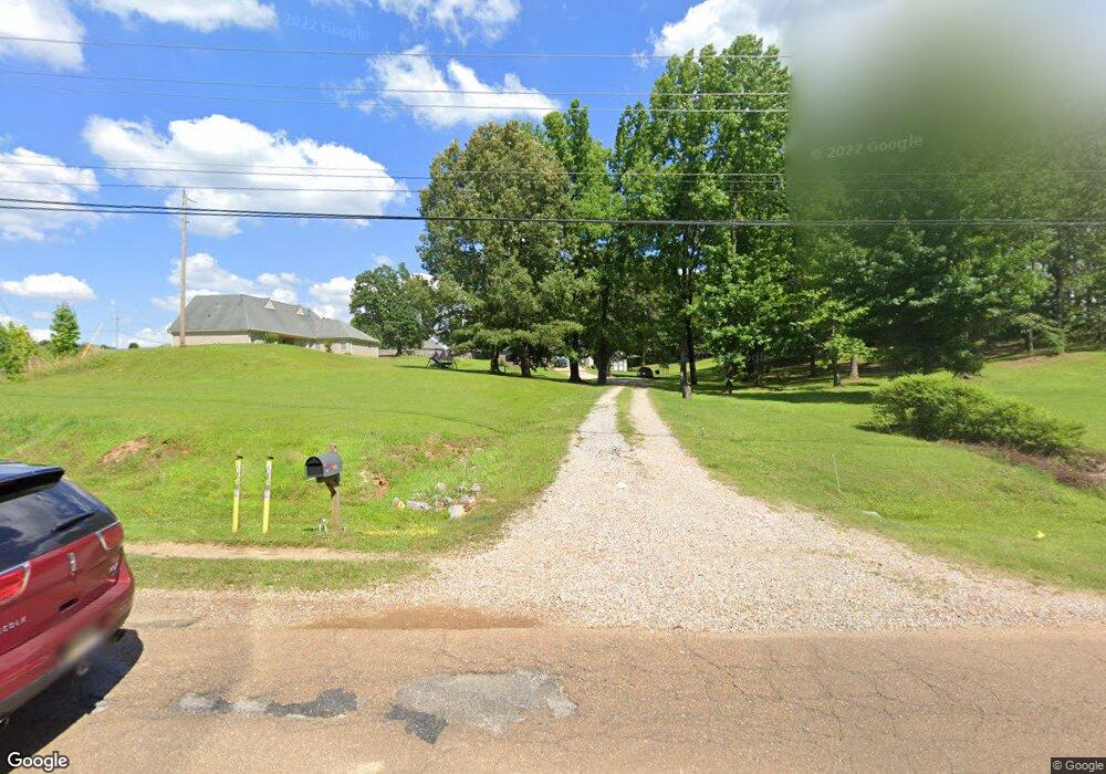
5518 Tchulahoma Rd Southaven, MS 38671
Estimated Value: $253,215 - $317,000
3
Beds
--
Bath
1,965
Sq Ft
$147/Sq Ft
Est. Value
About This Home
This home is located at 5518 Tchulahoma Rd, Southaven, MS 38671 and is currently estimated at $289,054, approximately $147 per square foot. 5518 Tchulahoma Rd is a home located in DeSoto County with nearby schools including DeSoto Central Elementary School, DeSoto Central Primary School, and DeSoto Central Middle School.
Ownership History
Date
Name
Owned For
Owner Type
Purchase Details
Closed on
Oct 1, 2025
Sold by
Smith James Daniel and Smith Nelson W
Bought by
Stockman Living Trust and Stockman
Current Estimated Value
Purchase Details
Closed on
Jul 9, 2021
Sold by
Sky Lake Construction Llc
Bought by
Price Anthony Lawayne
Home Financials for this Owner
Home Financials are based on the most recent Mortgage that was taken out on this home.
Original Mortgage
$220,900
Interest Rate
2.96%
Mortgage Type
New Conventional
Create a Home Valuation Report for This Property
The Home Valuation Report is an in-depth analysis detailing your home's value as well as a comparison with similar homes in the area
Home Values in the Area
Average Home Value in this Area
Purchase History
| Date | Buyer | Sale Price | Title Company |
|---|---|---|---|
| Stockman Living Trust | -- | Foundation Title | |
| Price Anthony Lawayne | -- | None Available |
Source: Public Records
Mortgage History
| Date | Status | Borrower | Loan Amount |
|---|---|---|---|
| Previous Owner | Price Anthony Lawayne | $220,900 |
Source: Public Records
Tax History Compared to Growth
Tax History
| Year | Tax Paid | Tax Assessment Tax Assessment Total Assessment is a certain percentage of the fair market value that is determined by local assessors to be the total taxable value of land and additions on the property. | Land | Improvement |
|---|---|---|---|---|
| 2024 | $1,206 | $10,350 | $1,000 | $9,350 |
| 2023 | $1,206 | $10,350 | $0 | $0 |
| 2022 | $1,175 | $10,350 | $1,000 | $9,350 |
| 2021 | $1,175 | $10,350 | $1,000 | $9,350 |
| 2020 | $1,069 | $9,602 | $1,000 | $8,602 |
| 2019 | $1,069 | $9,602 | $1,000 | $8,602 |
| 2017 | $1,047 | $17,806 | $9,403 | $8,403 |
| 2016 | $1,103 | $9,798 | $1,000 | $8,798 |
| 2015 | $1,396 | $18,596 | $9,798 | $8,798 |
| 2014 | $1,103 | $9,798 | $0 | $0 |
| 2013 | $1,143 | $9,798 | $0 | $0 |
Source: Public Records
Map
Nearby Homes
- 2081 Eagle Point Cove
- 6612 Grand Oak Ln
- 2041 King Rd
- 5036 Harlech Castle
- 2224 Baird Cove
- 5135 Windy Ridge Dr
- 1920 Church Rd E
- 0 Church Rd E
- 2595 Hunters Pointe Dr
- 2615 Dela Dr
- 2219 Metcalf Way
- 5623 Antler Trail
- 000 Church Rd E
- 771 Church Rd S
- 2481 Church Rd E
- 2306 Christian Ln
- 1176 Berretta Cove
- 2038 Nottaway Dr
- 5205 Marthavale Cove
- 1064 Warwick Place
- 5490 Deer Trail Cove
- 5504 Deer Trail Cove
- 1916 Shady Wind Dr
- 1997 Eagle Point Cove
- 1938 Shady Wind Dr
- 1890 Shady Wind Dr
- 5517 Deer Trail Cove
- 1868 Shady Wind Dr
- 2000 Eagle Point Cove
- 1960 Shady Wind Dr
- 1842 Shady Wind Dr
- 2021 Eagle Point Cove
- 1967 Mallard Cove
- 1988 Shady Wind Dr
- 1943 Mallard Cove
- 0 Shady Wind Dr Unit 2275251
- 0 Shady Wind Dr Unit 2276682
- 8 Shady Wind Dr
- 4 Shady Wind Dr
- 6 Shady Wind Dr